
 Carrières-sur-Seine
Villeneuve-la-Garenne
Dorlisheim
Illkirch
Sentheim
Villers-lès-Nancy
Romans-sur-Isère
Claye-Souilly
Septèmes-les-Vallons
Le Mée-sur-Seine
Tournon-sur-Rhône
Salon-de-Provence
Sarlat-la-Canéda
Saint-André-les-Vergers
Saint-Georges-d'Orques
Lons-le-Saunier
Saint-Junien
Montigny-le-Bretonneux
Saint-Sulpice-la-Pointe
Carrières-sur-Seine
Villeneuve-la-Garenne
Dorlisheim
Illkirch
Sentheim
Villers-lès-Nancy
Romans-sur-Isère
Claye-Souilly
Septèmes-les-Vallons
Le Mée-sur-Seine
Tournon-sur-Rhône
Salon-de-Provence
Sarlat-la-Canéda
Saint-André-les-Vergers
Saint-Georges-d'Orques
Lons-le-Saunier
Saint-Junien
Montigny-le-Bretonneux
Saint-Sulpice-la-Pointe
Hérouville-Saint-Clair on the map, France
Where is located Hérouville-Saint-Clair
Exact location — Hérouville-Saint-Clair, Calvados, Lower Normandy, France, marked on the map with a red marker.
Coordinates
Hérouville-Saint-Clair, France coordinates in decimal format: latitude — 49.20358, longitude — -0.333655. When converted to degrees, minutes, seconds Hérouville-Saint-Clair has the following coordinates: 49°12′12.89 north latitude and -0°20′1.16 east longitude.
Population
Hérouville-Saint-Clair, Calvados, Lower Normandy, France, according to our data the population is — 23,792 residents, which is about 0% of the total population of the country (France).
Comparison of the population on the graph:
Exact time
Time zone for this location Hérouville-Saint-Clair — UTC +2 Europe/Paris. Exact time — tuesday, 5 may 2024 year, 09 h. 13 minutes.
Sunrise and sunset
Hérouville-Saint-Clair, sunrise and sunset data for a date — tuesday 14.05.2024.
| Sunrise | Sunset | Day (duration) |
|---|---|---|
| 06:22 -2 minutes | 21:32 +1 minute | 15 h. 12 minutes. +3 minutes |
You can control the scale of the map using the auxiliary tools to find out exactly where it is located Hérouville-Saint-Clair. When you change the scale of the map, the width of the ruler also changes (in kilometers and miles).
Nearby cities
The largest cities that are located nearby:
- Caen — 4 km
- Le Havre — 45 km
- Rouen — 106 km
- Le Mans — 138 km
- Rennes — 156 km
- Eastbourne
 (United Kingdom) — 178 km
 - Portsmouth (United Kingdom) — 186 km
- Angers — 192 km
- Boulogne-Billancourt — 192 km
- Bournemouth (United Kingdom) — 200 km
- Amiens — 202 km
- Southampton (United Kingdom) — 203 km
- Crawley (United Kingdom) — 211 km
- Tours — 214 km
- Orléans — 220 km
- Nantes — 238 km
- Sutton (United Kingdom) — 239 km
- Gillingham (United Kingdom) — 249 km
- Reading (United Kingdom) — 253 km
Distance to neighboring capitals:
- London (United Kingdom) — 257 km
- Brussels
 (Belgium) — 382 km
 - Amsterdam
 (Netherlands) — 509 km
 - Bern
 (Switzerland) — 630 km
 - Andorra la Vella
 (Andorra) — 759 km
 - Vaduz
 (Liechtenstein) — 765 km
 - Madrid
 (Spain) — 1013 km
 - Berlin
 (Germany) — 1031 km
 - Prague
 (Czech Republic) — 1067 km
 - Copenhagen
 (Denmark) — 1130 km
 - Vienna
 (Austria) — 1229 km
 - Rome
 (Italy) — 1285 km
 - Lisbon
 (Portugal) — 1360 km
 - Warsaw
 (Poland) — 1534 km
 - Nicosia
 — 3149 km
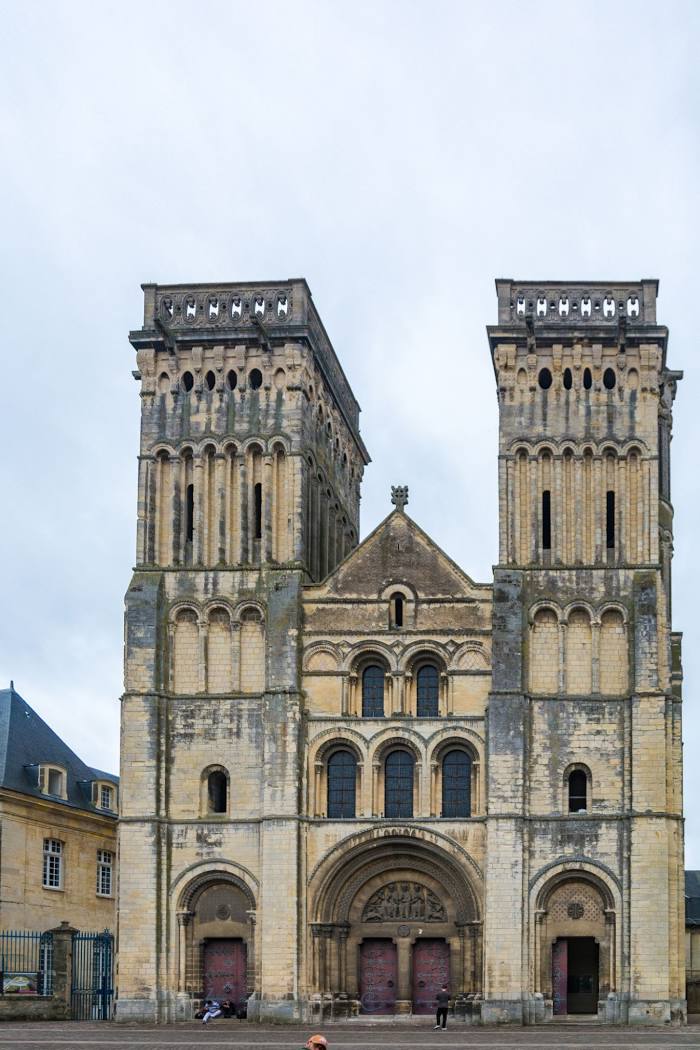
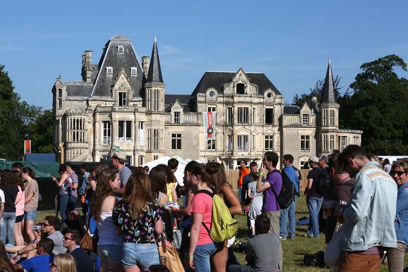
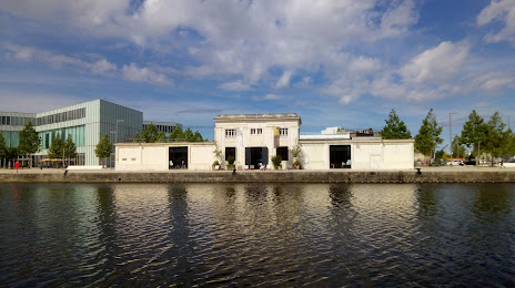
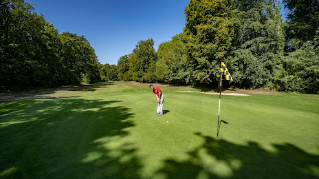
Attractions

Distance to the capital
Distance to the capital (Paris) is about — 200 km.