
 Notre-Dame-de-Gravenchon
La Seyne-sur-Mer
Saint-Raphaël
Brie-sous-Archiac
Mantes-la-Ville
Vaulx-en-Velin
Trédion
Ruvigny
Bry-sur-Marne
Maizières-lès-Metz
Saint-Martin-d'Hères
Rosny-sous-Bois
Sablé-sur-Sarthe
La Chapelle-sur-Erdre
La Ferté-Bernard
Saint-Gaudens
Pont-à-Mousson
Luxeuil-les-Bains
Dampierre-sur-Salon
Notre-Dame-de-Gravenchon
La Seyne-sur-Mer
Saint-Raphaël
Brie-sous-Archiac
Mantes-la-Ville
Vaulx-en-Velin
Trédion
Ruvigny
Bry-sur-Marne
Maizières-lès-Metz
Saint-Martin-d'Hères
Rosny-sous-Bois
Sablé-sur-Sarthe
La Chapelle-sur-Erdre
La Ferté-Bernard
Saint-Gaudens
Pont-à-Mousson
Luxeuil-les-Bains
Dampierre-sur-Salon
Port-de-Bouc on the map, France
Where is located Port-de-Bouc
Exact location — Port-de-Bouc, Bouches-du-Rhone, Provence-Alpes-Côte d'Azur, France, marked on the map with a red marker.
Coordinates
Port-de-Bouc, France coordinates in decimal format: latitude — 43.405449, longitude — 4.985931. When converted to degrees, minutes, seconds Port-de-Bouc has the following coordinates: 43°24′19.62 north latitude and 4°59′9.35 east longitude.
Population
Port-de-Bouc, Bouches-du-Rhone, Provence-Alpes-Côte d'Azur, France, according to our data the population is — 15,621 residents, which is about 0% of the total population of the country (France).
Comparison of the population on the graph:
Exact time
Time zone for this location Port-de-Bouc — UTC +2 Europe/Paris. Exact time — thursday, 5 may 2024 year, 13 h. 20 minutes.
Sunrise and sunset
Port-de-Bouc, sunrise and sunset data for a date — thursday 9.05.2024.
| Sunrise | Sunset | Day (duration) |
|---|---|---|
| 06:25 -1 minute | 20:47 +1 minute | 14 h. 24 minutes. +2 minutes |
You can control the scale of the map using the auxiliary tools to find out exactly where it is located Port-de-Bouc. When you change the scale of the map, the width of the ruler also changes (in kilometers and miles).
Nearby cities
The largest cities that are located nearby:
- Marseille — 33 km
- Aix-en-Provence — 39 km
- Nimes — 69 km
- Toulon — 82 km
- Montpellier — 92 km
- Nice — 185 km
- Perpignan — 188 km
- Grenoble — 205 km
- Saint-Étienne — 230 km
- Lyon — 261 km
- Villeurbanne — 262 km
- Turin
 (Italy) — 280 km
 - Toulouse — 284 km
- Mataró
 (Spain) — 295 km
 - Clermont-Ferrand — 300 km
- Badalona (Spain) — 314 km
- Sabadell (Spain) — 315 km
- Santa Coloma de Gramenet (Spain) — 316 km
- Terrassa (Spain) — 320 km
Distance to neighboring capitals:
- Andorra la Vella
 (Andorra) — 299 km
 - Bern
 (Switzerland) — 439 km
 - Vaduz
 (Liechtenstein) — 546 km
 - Rome (Italy) — 636 km
- Madrid (Spain) — 792 km
- Brussels
 (Belgium) — 829 km
 - London
 (United Kingdom) — 979 km
 - Amsterdam
 (Netherlands) — 997 km
 - Vienna
 (Austria) — 1030 km
 - Prague
 (Czech Republic) — 1033 km
 - Berlin
 (Germany) — 1190 km
 - Lisbon
 (Portugal) — 1292 km
 - Copenhagen
 (Denmark) — 1468 km
 - Warsaw
 (Poland) — 1542 km
 - Nicosia
 — 2594 km
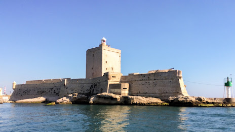
Attractions
Distance to the capital
Distance to the capital (Paris) is about — 639 km.