
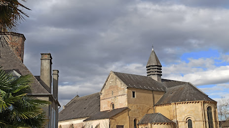
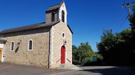
 Avesnes-sur-Helpe
Clichy-sous-Bois
Le Pradet
Chaumontel
Saint-Witz
Saint-Étienne-du-Rouvray
Nogent-sur-Oise
Villers-Cotterêts
Sainte-Luce-sur-Loire
Ruvigny
Trédion
Vaulx-en-Velin
Mantes-la-Ville
Brie-sous-Archiac
Saint-Raphaël
La Seyne-sur-Mer
Notre-Dame-de-Gravenchon
La Valette-du-Var
Caluire-et-Cuire
Avesnes-sur-Helpe
Clichy-sous-Bois
Le Pradet
Chaumontel
Saint-Witz
Saint-Étienne-du-Rouvray
Nogent-sur-Oise
Villers-Cotterêts
Sainte-Luce-sur-Loire
Ruvigny
Trédion
Vaulx-en-Velin
Mantes-la-Ville
Brie-sous-Archiac
Saint-Raphaël
La Seyne-sur-Mer
Notre-Dame-de-Gravenchon
La Valette-du-Var
Caluire-et-Cuire
Pau on the map, France
Where is located Pau
Exact location — Pau, Pyrénées-Atlantiques, Aquitaine, France, marked on the map with a red marker.
Coordinates
Pau, France coordinates in decimal format: latitude — 43.2951, longitude — -0.370797. When converted to degrees, minutes, seconds Pau has the following coordinates: 43°17′42.36 north latitude and -0°22′14.87 east longitude.
Population
Pau, Pyrénées-Atlantiques, Aquitaine, France, according to our data the population is — 77,475 residents, which is about 0.1% of the total population of the country (France).
Comparison of the population on the graph:
Exact time
Time zone for this location Pau — UTC +2 Europe/Paris. Exact time — thursday, 5 may 2024 year, 09 h. 54 minutes.
Sunrise and sunset
Pau, sunrise and sunset data for a date — thursday 9.05.2024.
| Sunrise | Sunset | Day (duration) |
|---|---|---|
| 06:46 -2 minutes | 21:08 +1 minute | 14 h. 24 minutes. +3 minutes |
You can control the scale of the map using the auxiliary tools to find out exactly where it is located Pau. When you change the scale of the map, the width of the ruler also changes (in kilometers and miles).
Nearby cities
The largest cities that are located nearby:
- Pamplona
 (Spain) — 116 km
 - San Sebastián (Spain) — 130 km
- Toulouse — 149 km
- Bordeaux — 171 km
- Zaragoza (Spain) — 187 km
- Logroño (Spain) — 193 km
- Vitoria-Gasteiz (Spain) — 193 km
- Lleida (Spain) — 203 km
- Bilbao (Spain) — 206 km
- Perpignan — 274 km
- Terrassa (Spain) — 275 km
- Tarragona (Spain) — 276 km
- Santander (Spain) — 277 km
- Sabadell (Spain) — 282 km
- Burgos (Spain) — 291 km
- Santa Coloma de Gramenet (Spain) — 296 km
- L'Hospitalet de Llobregat (Spain) — 297 km
- Badalona (Spain) — 298 km
- Mataró (Spain) — 303 km
Distance to neighboring capitals:
- Andorra la Vella
 (Andorra) — 177 km
 - Madrid (Spain) — 423 km
- Bern
 (Switzerland) — 735 km
 - Vaduz
 (Liechtenstein) — 884 km
 - Lisbon
 (Portugal) — 894 km
 - Brussels
 (Belgium) — 913 km
 - London
 (United Kingdom) — 914 km
 - Rome
 (Italy) — 1064 km
 - Amsterdam
 (Netherlands) — 1083 km
 - Prague
 (Czech Republic) — 1355 km
 - Vienna
 (Austria) — 1406 km
 - Berlin
 (Germany) — 1447 km
 - Copenhagen
 (Denmark) — 1659 km
 - Warsaw
 (Poland) — 1872 km
 - Nicosia
 — 3021 km
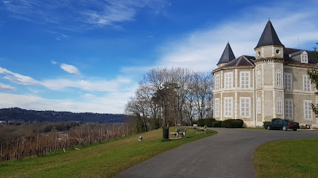
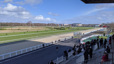
Attractions


Distance to the capital
Distance to the capital (Paris) is about — 653 km.