
 Saint-Ismier
Roquebrune-Cap-Martin
Nanteuil-lès-Meaux
Bailly-Romainvilliers
Saint-Thibault-des-Vignes
Saint-Aunès
Villennes-sur-Seine
Bon-Encontre
Dompierre-sur-Mer
Lurs
Fleury-Mérogis
Ney
Monistrol-sur-Loire
Onzain
Saint-Julien-en-Genevois
Montoire-sur-le-Loir
Baratier
Saint-Sulpice-la-Pointe
Saint-Quentin-Fallavier
Saint-Ismier
Roquebrune-Cap-Martin
Nanteuil-lès-Meaux
Bailly-Romainvilliers
Saint-Thibault-des-Vignes
Saint-Aunès
Villennes-sur-Seine
Bon-Encontre
Dompierre-sur-Mer
Lurs
Fleury-Mérogis
Ney
Monistrol-sur-Loire
Onzain
Saint-Julien-en-Genevois
Montoire-sur-le-Loir
Baratier
Saint-Sulpice-la-Pointe
Saint-Quentin-Fallavier
Conflans-Sainte-Honorine on the map, France
Where is located Conflans-Sainte-Honorine
Exact location — Conflans-Sainte-Honorine, Yvelines, Île-de-France, France, marked on the map with a red marker.
Coordinates
Conflans-Sainte-Honorine, France coordinates in decimal format: latitude — 49.000275, longitude — 2.09178. When converted to degrees, minutes, seconds Conflans-Sainte-Honorine has the following coordinates: 49°0′0.99 north latitude and 2°5′30.41 east longitude.
Population
Conflans-Sainte-Honorine, Yvelines, Île-de-France, France, according to our data the population is — 36,358 residents, which is about 0.1% of the total population of the country (France).
Comparison of the population on the graph:
Exact time
Time zone for this location Conflans-Sainte-Honorine — UTC +2 Europe/Paris. Exact time — wednesday, 5 may 2024 year, 15 h. 46 minutes.
Sunrise and sunset
Conflans-Sainte-Honorine, sunrise and sunset data for a date — wednesday 8.05.2024.
| Sunrise | Sunset | Day (duration) |
|---|---|---|
| 06:22 -1 minute | 21:13 +1 minute | 14 h. 54 minutes. +2 minutes |
You can control the scale of the map using the auxiliary tools to find out exactly where it is located Conflans-Sainte-Honorine. When you change the scale of the map, the width of the ruler also changes (in kilometers and miles).
Nearby cities
The largest cities that are located nearby:
- Boulogne-Billancourt — 21 km
- Rouen — 86 km
- Amiens — 100 km
- Orléans — 122 km
- Reims — 143 km
- Le Havre — 153 km
- Le Mans — 178 km
- Caen — 179 km
- Lille — 192 km
- Tours — 206 km
- Charleroi
 (Belgium) — 228 km
 - Eastbourne
 (United Kingdom) — 233 km
 - Namur (Belgium) — 254 km
- Brussels (Belgium) — 258 km
- Angers — 260 km
- Crawley (United Kingdom) — 282 km
- Gillingham (United Kingdom) — 284 km
- Dijon — 289 km
- Antwerp (Belgium) — 293 km
Distance to neighboring capitals:
- Brussels (Belgium) — 262 km
- London (United Kingdom) — 320 km
- Amsterdam
 (Netherlands) — 424 km
 - Bern
 (Switzerland) — 459 km
 - Vaduz
 (Liechtenstein) — 589 km
 - Andorra la Vella
 (Andorra) — 724 km
 - Berlin
 (Germany) — 886 km
 - Prague
 (Czech Republic) — 898 km
 - Copenhagen
 (Denmark) — 1027 km
 - Vienna
 (Austria) — 1053 km
 - Madrid
 (Spain) — 1058 km
 - Rome
 (Italy) — 1130 km
 - Warsaw
 (Poland) — 1378 km
 - Lisbon
 (Portugal) — 1452 km
 - Nicosia
 — 2974 km
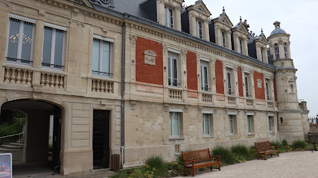
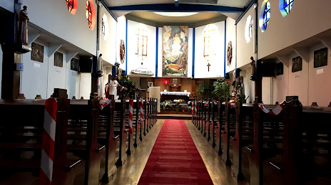
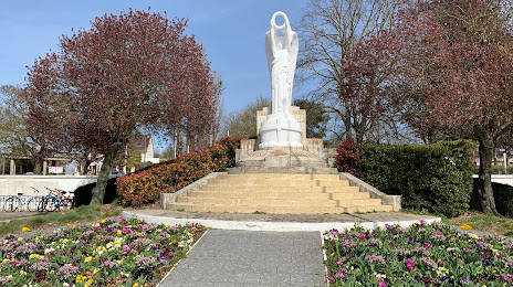
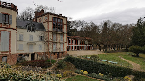
Attractions

Distance to the capital
Distance to the capital (Paris) is about — 25 km.