
 Saint-Bris-des-Bois
Assat
Villers-Semeuse
Peisey-Nancroix
Notre-Dame-de-Monts
Châteauneuf-sur-Sarthe
Guémené-sur-Scorff
Peyrat-le-Château
Le Fresne-Poret
San-Giovanni-di-Moriani
Le Plan-de-la-Tour
Les Halles
Beblenheim
Pouilly-en-Auxois
Saint-Martin-en-Bresse
Saint-Julien-des-Landes
Moëlan-sur-Mer
Vivoin
Saint-Saturnin
Saint-Bris-des-Bois
Assat
Villers-Semeuse
Peisey-Nancroix
Notre-Dame-de-Monts
Châteauneuf-sur-Sarthe
Guémené-sur-Scorff
Peyrat-le-Château
Le Fresne-Poret
San-Giovanni-di-Moriani
Le Plan-de-la-Tour
Les Halles
Beblenheim
Pouilly-en-Auxois
Saint-Martin-en-Bresse
Saint-Julien-des-Landes
Moëlan-sur-Mer
Vivoin
Saint-Saturnin
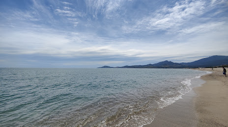
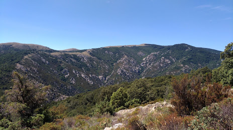
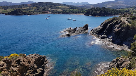
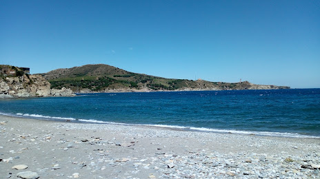
Argelès-sur-Mer on the map, France
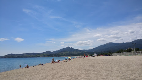
Where is located Argelès-sur-Mer
Exact location — Argelès-sur-Mer, Pyrénées-Orientales, Languedoc-Roussillon, France, marked on the map with a red marker.
Coordinates
Argelès-sur-Mer, France coordinates in decimal format: latitude — 42.546214, longitude — 3.022911. When converted to degrees, minutes, seconds Argelès-sur-Mer has the following coordinates: 42°32′46.37 north latitude and 3°1′22.48 east longitude.
Population
Argelès-sur-Mer, Pyrénées-Orientales, Languedoc-Roussillon, France, according to our data the population is — 10,044 residents, which is about 0% of the total population of the country (France).
Comparison of the population on the graph:
Exact time
Time zone for this location Argelès-sur-Mer — UTC +2 Europe/Paris. Exact time — wednesday, 5 may 2024 year, 23 h. 34 minutes.
Sunrise and sunset
Argelès-sur-Mer, sunrise and sunset data for a date — wednesday 15.05.2024.
| Sunrise | Sunset | Day (duration) |
|---|---|---|
| 06:28 -1 minute | 20:59 +1 minute | 14 h. 30 minutes. +2 minutes |
You can control the scale of the map using the auxiliary tools to find out exactly where it is located Argelès-sur-Mer. When you change the scale of the map, the width of the ruler also changes (in kilometers and miles).
Nearby cities
The largest cities that are located nearby:
- Perpignan — 19 km
- Mataró
 (Spain) — 121 km
 - Sabadell (Spain) — 134 km
- Montpellier — 136 km
- Terrassa (Spain) — 137 km
- Badalona (Spain) — 138 km
- Santa Coloma de Gramenet (Spain) — 139 km
- L'Hospitalet de Llobregat (Spain) — 151 km
- Toulouse — 172 km
- Nimes — 178 km
- Marseille — 206 km
- Tarragona (Spain) — 216 km
- Aix-en-Provence — 223 km
- Lleida (Spain) — 224 km
- Toulon — 243 km
- Palma (Spain) — 331 km
- Saint-Étienne — 337 km
- Zaragoza (Spain) — 338 km
- Clermont-Ferrand — 357 km
Distance to neighboring capitals:
- Andorra la Vella
 (Andorra) — 123 km
 - Bern
 (Switzerland) — 601 km
 - Madrid (Spain) — 608 km
- Vaduz
 (Liechtenstein) — 723 km
 - Rome
 (Italy) — 783 km
 - Brussels
 (Belgium) — 929 km
 - London
 (United Kingdom) — 1025 km
 - Amsterdam
 (Netherlands) — 1102 km
 - Lisbon
 (Portugal) — 1110 km
 - Prague
 (Czech Republic) — 1210 km
 - Vienna
 (Austria) — 1216 km
 - Berlin
 (Germany) — 1353 km
 - Copenhagen
 (Denmark) — 1614 km
 - Warsaw
 (Poland) — 1723 km
 - Nicosia
 — 2737 km
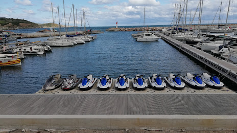
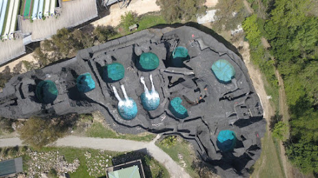
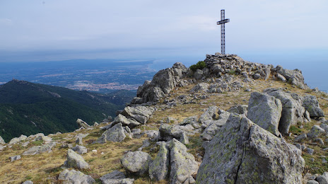
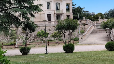
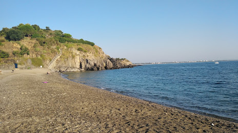
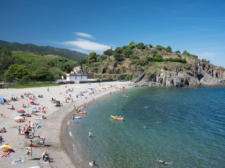
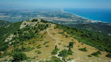
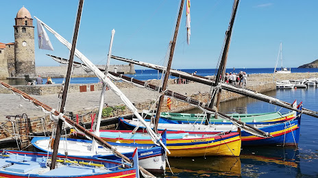
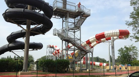
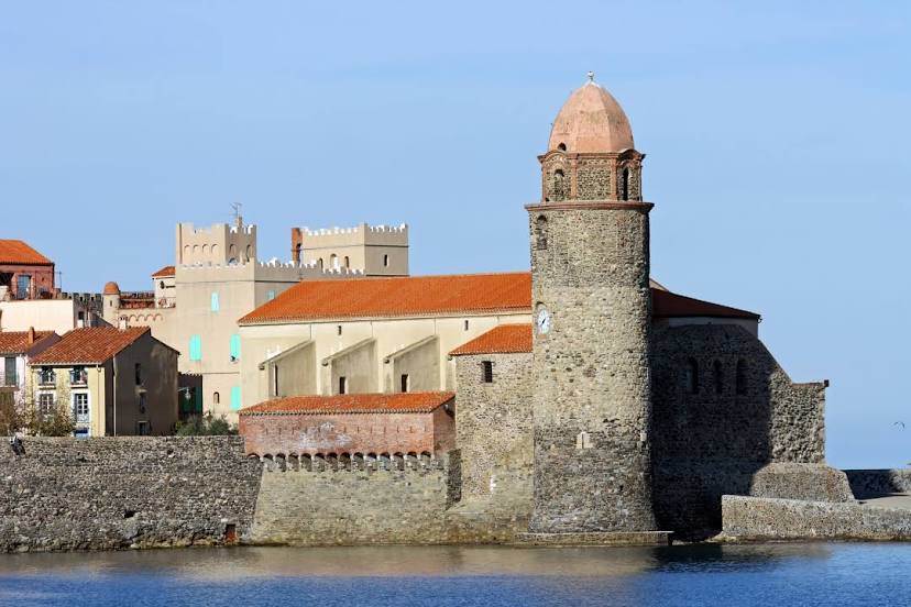
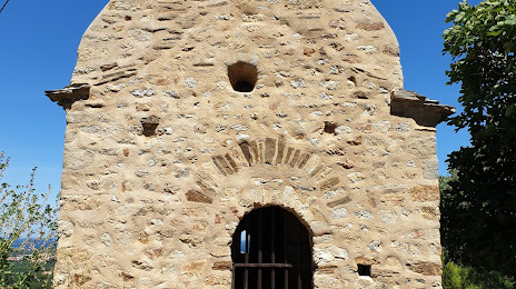
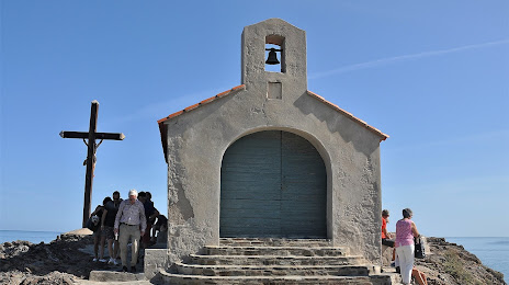
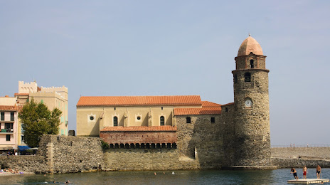
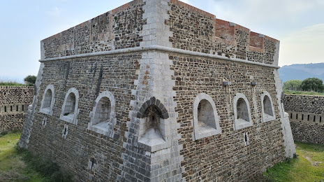
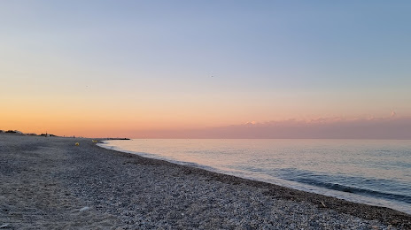
Attractions


Distance to the capital
Distance to the capital (Paris) is about — 704 km.