Saint-Jean-des-Champs — Prades
Saint-Jean-des-Champs — Le Mas-d'Azil
Saint-Jean-des-Champs — Yvelines
Saint-Jean-des-Champs — Biol
Saint-Jean-des-Champs — Préaux
Saint-Jean-des-Champs — Saint-Coutant
Saint-Jean-des-Champs — Genillé
Saint-Jean-des-Champs — Neuvéglise
Saint-Jean-des-Champs — Houx
Saint-Jean-des-Champs — Baume-les-Dames
Saint-Jean-des-Champs — Magny-Cours
Saint-Jean-des-Champs — Saint-Agil
Saint-Jean-des-Champs — Avallon
Saint-Jean-des-Champs — Talmont-sur-Gironde
Saint-Jean-des-Champs — Bréhémont
Saint-Jean-des-Champs — Bordeaux-Saint-Clair
Saint-Jean-des-Champs — Saint-Pierre-en-Port
Saint-Jean-des-Champs — Volgelsheim
Saint-Jean-des-Champs — Moringhem
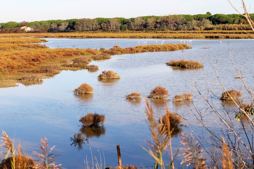
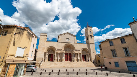
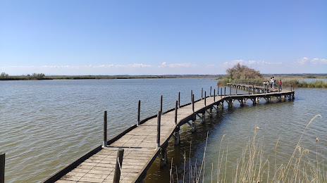
Saint-Jean-des-Champs — Saint-Gilles distance, route on the map
Distance by car
Distance between Saint-Jean-des-Champs, Lower Normandy, France and Saint-Gilles, Languedoc-Roussillon, France by car is — km, or miles. To travel this distance by car, you need minute, or h.
Route on the map, driving directions
Car route Saint-Jean-des-Champs — Saint-Gilles was created automatically. The road on the map is shown as a blue line. By moving the markers, you can create a new route through the points you need.
Distance by plane
If you decide to take a trip Saint-Jean-des-Champs Saint-Gilles by plane, then you have to fly the distance — 730 km or 453 miles. It is marked on the map with a gray line (between two points in a straight line).
Flight time
Estimated flight time Saint-Jean-des-Champs Saint-Gilles by plane at cruising speed 750 km / h will be — 58 min.
Direction of movement
France, Saint-Jean-des-Champs — right-hand traffic. France, Saint-Gilles — right-hand traffic.
Difference in time
Saint-Jean-des-Champs and Saint-Gilles are in the same time zone. Between them there is no time difference (UTC +2 Europe/Paris).
Interesting Facts
Information on alternative ways to get to your destination.
The length of this distance is about 1.8% of the total length of the equator.
The percentage of the population is clearly shown in the graph:
Saint-Jean-des-Champs — 1,144 (less by 12,087), Saint-Gilles — 13,231 residents.
The cost of travel
Calculate the cost of the trip yourself using the fuel consumption calculator, changing the data in the table.