Montels — Saint-Colomban
Montels — Chaptelat
Montels — Saint-Pierre-des-Nids
Montels — Chadrac
Montels — Compreignac
Montels — Sainte-Marie
Montels — Le Bardon
Montels — Villars-les-Dombes
Montels — Auray
Montels — Brandonnet
Montels — Cuts
Montels — Vauchrétien
Montels — Tosse
Montels — Lamarche-sur-Saône
Montels — The Landes
Montels — Allenwiller
Montels — Roquebrune-sur-Argens
Montels — Chalais
Montels — Willeman
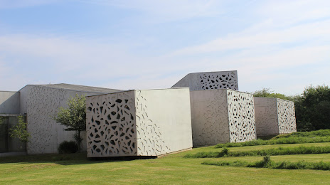
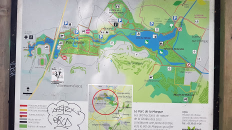
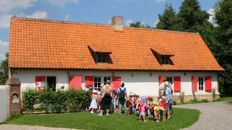
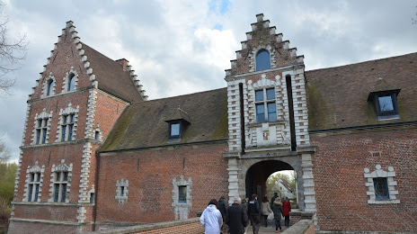
Montels — Villeneuve-d'Ascq distance, route on the map
Distance by car
Distance between Montels, Languedoc-Roussillon, France and Villeneuve-d'Ascq, Nord-Pas-de-Calais, France by car is — km, or miles. To travel this distance by car, you need minute, or h.
Route on the map, driving directions
Car route Montels — Villeneuve-d'Ascq was created automatically. The road on the map is shown as a blue line. By moving the markers, you can create a new route through the points you need.
Distance by plane
If you decide to take a trip Montels Villeneuve-d'Ascq by plane, then you have to fly the distance — 815 km or 505 miles. It is marked on the map with a gray line (between two points in a straight line).
Flight time
Estimated flight time Montels Villeneuve-d'Ascq by plane at cruising speed 750 km / h will be — 1 h. and 5 min.
Direction of movement
France, Montels — right-hand traffic. France, Villeneuve-d'Ascq — right-hand traffic.
Difference in time
Montels and Villeneuve-d'Ascq are in the same time zone. Between them there is no time difference (UTC +2 Europe/Paris).
Interesting Facts
Information on alternative ways to get to your destination.
The length of this distance is about 2.0% of the total length of the equator.
The percentage of the population is clearly shown in the graph:
Montels — 225 (less by 62,175), Villeneuve-d'Ascq — 62,400 residents.
The cost of travel
Calculate the cost of the trip yourself using the fuel consumption calculator, changing the data in the table.