
 Eschbach-au-Val
Saint-André-de-Valborgne
Arbigny
Luppé-Violles
Termignon
Ambon
Chille
Saint-Julien-sur-Sarthe
Badens
Saint-Aubin-sur-Scie
Veulettes-sur-Mer
Derchigny
Gimouille
Oberlarg
Saint-Martin-d'Arrossa
Beaune-sur-Arzon
Puymaurin
Bézancourt
Manvieux
Eschbach-au-Val
Saint-André-de-Valborgne
Arbigny
Luppé-Violles
Termignon
Ambon
Chille
Saint-Julien-sur-Sarthe
Badens
Saint-Aubin-sur-Scie
Veulettes-sur-Mer
Derchigny
Gimouille
Oberlarg
Saint-Martin-d'Arrossa
Beaune-sur-Arzon
Puymaurin
Bézancourt
Manvieux
Saint-Louis on the map, France
Where is located Saint-Louis
Exact location — Saint-Louis, Haut-Rhin, Alsace, France, marked on the map with a red marker.
Coordinates
Saint-Louis, France coordinates in decimal format: latitude — 47.5859949, longitude — 7.563934. When converted to degrees, minutes, seconds Saint-Louis has the following coordinates: 47°35′9.58 north latitude and 7°33′50.16 east longitude.
Population
Saint-Louis, Haut-Rhin, Alsace, France, according to our data the population is — 20,387 residents, which is about 0% of the total population of the country (France).
Comparison of the population on the graph:
Exact time
Time zone for this location Saint-Louis — UTC +2 Europe/Paris. Exact time — tuesday, 5 may 2024 year, 17 h. 52 minutes.
Sunrise and sunset
Saint-Louis, sunrise and sunset data for a date — tuesday 7.05.2024.
| Sunrise | Sunset | Day (duration) |
|---|---|---|
| 06:06 -1 minute | 20:46 +1 minute | 14 h. 42 minutes. +2 minutes |
You can control the scale of the map using the auxiliary tools to find out exactly where it is located Saint-Louis. When you change the scale of the map, the width of the ruler also changes (in kilometers and miles).
Nearby cities
The largest cities that are located nearby:
- Basel
 (Switzerland) — 3 km
 - Mulhouse — 25 km
- Freiburg
 (Germany) — 50 km
 - Bern (Switzerland) — 71 km
- Zurich (Switzerland) — 77 km
- Strasbourg — 110 km
- Besançon — 122 km
- Lausanne (Switzerland) — 137 km
- Reutlingen (Germany) — 157 km
- Nancy — 158 km
- Pforzheim (Germany) — 166 km
- Karlsruhe (Germany) — 168 km
- Stuttgart (Germany) — 177 km
- Saarbrücken (Germany) — 187 km
- Geneva (Switzerland) — 188 km
- Dijon — 191 km
- Metz — 197 km
- Ulm (Germany) — 199 km
- Heilbronn (Germany) — 209 km
Distance to neighboring capitals:
- Bern (Switzerland) — 72 km
- Vaduz
 (Liechtenstein) — 155 km
 - Brussels
 (Belgium) — 432 km
 - Amsterdam
 (Netherlands) — 565 km
 - Prague
 (Czech Republic) — 574 km
 - Vienna
 (Austria) — 660 km
 - Berlin (Germany) — 689 km
- London
 (United Kingdom) — 705 km
 - Andorra la Vella
 (Andorra) — 738 km
 - Rome
 (Italy) — 742 km
 - Copenhagen
 (Denmark) — 963 km
 - Warsaw
 (Poland) — 1091 km
 - Madrid
 (Spain) — 1201 km
 - Lisbon
 (Portugal) — 1670 km
 - Nicosia
 — 2540 km
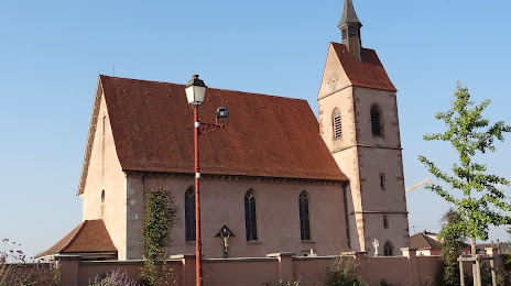
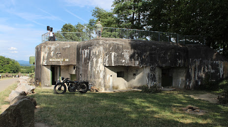
Attractions


Distance to the capital
Distance to the capital (Paris) is about — 411 km.