Belo Horizonte/Pampulha–Carlos Drummond de Andrade Airport — Itapevi
Belo Horizonte/Pampulha–Carlos Drummond de Andrade Airport — Guarujá
Belo Horizonte/Pampulha–Carlos Drummond de Andrade Airport — Piedade
Belo Horizonte/Pampulha–Carlos Drummond de Andrade Airport — Montes Claros
Belo Horizonte/Pampulha–Carlos Drummond de Andrade Airport — Espírito Santo do Turvo
Belo Horizonte/Pampulha–Carlos Drummond de Andrade Airport — Dores do Turvo
Belo Horizonte/Pampulha–Carlos Drummond de Andrade Airport — Itacambira
Belo Horizonte/Pampulha–Carlos Drummond de Andrade Airport — Senador Canedo
Belo Horizonte/Pampulha–Carlos Drummond de Andrade Airport — Teixeira
Belo Horizonte/Pampulha–Carlos Drummond de Andrade Airport — Mombaça
Belo Horizonte/Pampulha–Carlos Drummond de Andrade Airport — Terra Boa
Belo Horizonte/Pampulha–Carlos Drummond de Andrade Airport — Andradina
Belo Horizonte/Pampulha–Carlos Drummond de Andrade Airport — Sacramento
Belo Horizonte/Pampulha–Carlos Drummond de Andrade Airport — Cedral
Belo Horizonte/Pampulha–Carlos Drummond de Andrade Airport — Teresópolis
Belo Horizonte/Pampulha–Carlos Drummond de Andrade Airport — Ibicoara
Belo Horizonte/Pampulha–Carlos Drummond de Andrade Airport — Morro do Pilar
Belo Horizonte/Pampulha–Carlos Drummond de Andrade Airport — Santa Leopoldina
Belo Horizonte/Pampulha–Carlos Drummond de Andrade Airport — Meruoca
Vespasiano
Tancredo Neves International Airport
Confins
Pedro Leopoldo
Matozinhos
Capim Branco
Prudente de Morais
Sete Lagoas
Paraopeba
Três Marias
João Pinheiro
Paracatu
Cristalina
Luziânia
Federal District
Belo Horizonte/Pampulha–Carlos Drummond de Andrade Airport — Itapevi
Belo Horizonte/Pampulha–Carlos Drummond de Andrade Airport — Guarujá
Belo Horizonte/Pampulha–Carlos Drummond de Andrade Airport — Piedade
Belo Horizonte/Pampulha–Carlos Drummond de Andrade Airport — Montes Claros
Belo Horizonte/Pampulha–Carlos Drummond de Andrade Airport — Espírito Santo do Turvo
Belo Horizonte/Pampulha–Carlos Drummond de Andrade Airport — Dores do Turvo
Belo Horizonte/Pampulha–Carlos Drummond de Andrade Airport — Itacambira
Belo Horizonte/Pampulha–Carlos Drummond de Andrade Airport — Senador Canedo
Belo Horizonte/Pampulha–Carlos Drummond de Andrade Airport — Teixeira
Belo Horizonte/Pampulha–Carlos Drummond de Andrade Airport — Mombaça
Belo Horizonte/Pampulha–Carlos Drummond de Andrade Airport — Terra Boa
Belo Horizonte/Pampulha–Carlos Drummond de Andrade Airport — Andradina
Belo Horizonte/Pampulha–Carlos Drummond de Andrade Airport — Sacramento
Belo Horizonte/Pampulha–Carlos Drummond de Andrade Airport — Cedral
Belo Horizonte/Pampulha–Carlos Drummond de Andrade Airport — Teresópolis
Belo Horizonte/Pampulha–Carlos Drummond de Andrade Airport — Ibicoara
Belo Horizonte/Pampulha–Carlos Drummond de Andrade Airport — Morro do Pilar
Belo Horizonte/Pampulha–Carlos Drummond de Andrade Airport — Santa Leopoldina
Belo Horizonte/Pampulha–Carlos Drummond de Andrade Airport — Meruoca
Vespasiano
Tancredo Neves International Airport
Confins
Pedro Leopoldo
Matozinhos
Capim Branco
Prudente de Morais
Sete Lagoas
Paraopeba
Três Marias
João Pinheiro
Paracatu
Cristalina
Luziânia
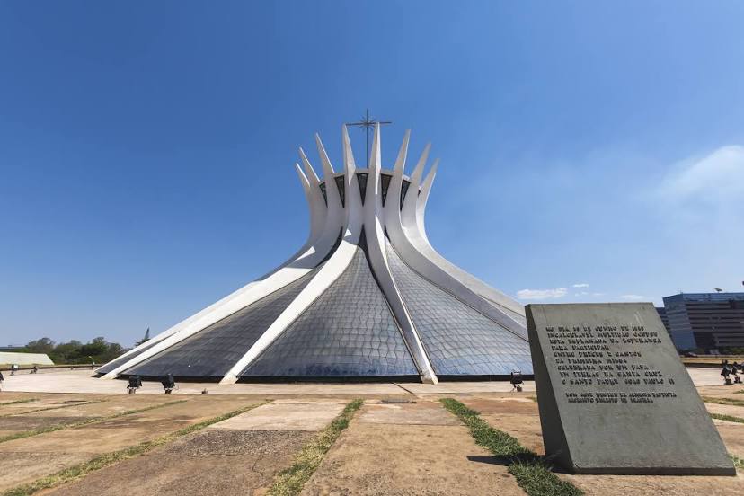
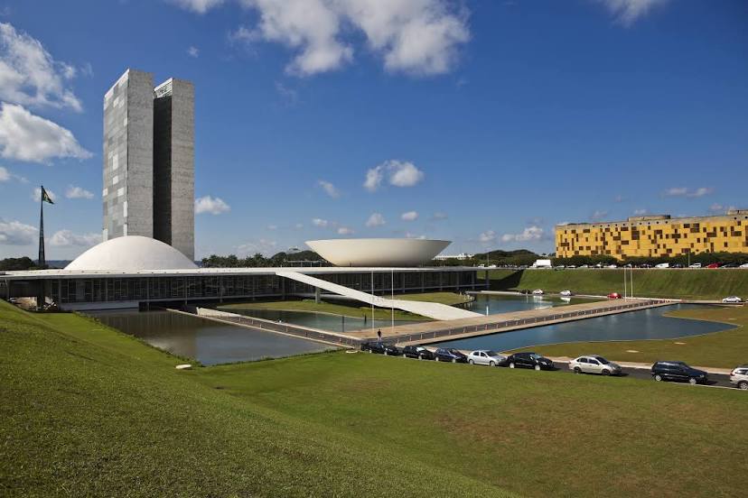
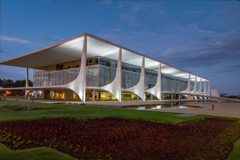
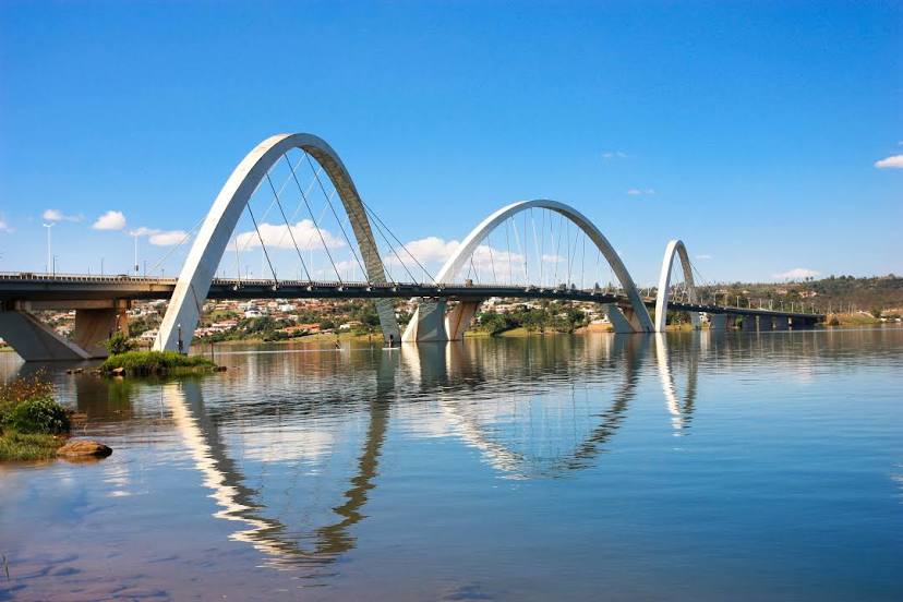
Federal District
See how the reverse distance goes.
Brasília — Belo Horizonte/Pampulha–Carlos Drummond de Andrade AirportBelo Horizonte/Pampulha–Carlos Drummond de Andrade Airport — Brasília distance, route on the map
Distance by car
Distance between Belo Horizonte/Pampulha–Carlos Drummond de Andrade Airport, State of Minas Gerais, Brazil and Brasília, Federal District, Brazil by car is — km, or miles. To travel this distance by car, you need minute, or h.
Route on the map, driving directions
Car route Belo Horizonte/Pampulha–Carlos Drummond de Andrade Airport — Brasília was created automatically. The road on the map is shown as a blue line. By moving the markers, you can create a new route through the points you need.
Passing cities through which the car route passes: Santa Luzia, Vespasiano, Tancredo Neves International Airport, Confins, Pedro Leopoldo, Matozinhos, Capim Branco, Prudente de Morais, Sete Lagoas, Paraopeba, Três Marias, João Pinheiro, Paracatu, Cristalina, Luziânia, Federal District.
Distance by plane
If you decide to take a trip Belo Horizonte/Pampulha–Carlos Drummond de Andrade Airport Brasília by plane, then you have to fly the distance — 613 km or 380 miles. It is marked on the map with a gray line (between two points in a straight line).
Flight time
Estimated flight time Belo Horizonte/Pampulha–Carlos Drummond de Andrade Airport Brasília by plane at cruising speed 750 km / h will be — 49 min.
Direction of movement
Brazil, Belo Horizonte/Pampulha–Carlos Drummond de Andrade Airport — right-hand traffic. Brazil, Brasília — right-hand traffic.
Difference in time
Belo Horizonte/Pampulha–Carlos Drummond de Andrade Airport and Brasília are in the same time zone. Between them there is no time difference (UTC -3 America/Sao_Paulo).
Interesting Facts
Information on alternative ways to get to your destination.
The length of this distance is about 1.5% of the total length of the equator.
The cost of travel
Calculate the cost of the trip yourself using the fuel consumption calculator, changing the data in the table.