
 Dinkelscherben
Pferdingsleben
Oschatz
Dietramszell
Bad Schmiedeberg
Namborn
Oestrich
Langensteinbach
Michelau im Steigerwald
Waidhaus
Titz
Buro
Bad Hindelang
Seelscheid
Dinklage
Themar
Königsbronn
Hövelhof
Gimborn
Dinkelscherben
Pferdingsleben
Oschatz
Dietramszell
Bad Schmiedeberg
Namborn
Oestrich
Langensteinbach
Michelau im Steigerwald
Waidhaus
Titz
Buro
Bad Hindelang
Seelscheid
Dinklage
Themar
Königsbronn
Hövelhof
Gimborn
Bad Freienwalde on the map, Germany
Where is located Bad Freienwalde
Exact location — Bad Freienwalde, Brandenburg, Germany, marked on the map with a red marker.
Coordinates
Bad Freienwalde, Germany coordinates in decimal format: latitude — 52.7829161, longitude — 14.0385706. When converted to degrees, minutes, seconds Bad Freienwalde has the following coordinates: 52°46′58.5 north latitude and 14°2′18.85 east longitude.
Population
Bad Freienwalde, Brandenburg, Germany, according to our data the population is — 15,108 residents, which is about 0% of the total population of the country (Germany).
Comparison of the population on the graph:
Exact time
Time zone for this location Bad Freienwalde — UTC +2 Europe/Berlin. Exact time — tuesday, 5 may 2024 year, 00 h. 53 minutes.
Sunrise and sunset
Bad Freienwalde, sunrise and sunset data for a date — tuesday 14.05.2024.
| Sunrise | Sunset | Day (duration) |
|---|---|---|
| 05:11 -2 minutes | 20:48 +1 minute | 15 h. 36 minutes. +3 minutes |
You can control the scale of the map using the auxiliary tools to find out exactly where it is located Bad Freienwalde. When you change the scale of the map, the width of the ruler also changes (in kilometers and miles).
Nearby cities
The largest cities that are located nearby:
- Berlin — 54 km
- Potsdam — 79 km
- Szczecin
 (Poland) — 79 km
 - Gorzów Wielkopolski (Poland) — 80 km
- Cottbus — 115 km
- Zielona Gora (Poland) — 137 km
- Magdeburg — 179 km
- Rostock — 192 km
- Dresden — 193 km
- Leipzig — 197 km
- Poznań (Poland) — 199 km
- Koszalin (Poland) — 208 km
- Wolfsburg — 223 km
- Legnica (Poland) — 228 km
- Chemnitz — 230 km
- Brunswick — 244 km
- Gera — 250 km
- Salzgitter — 261 km
- Bydgoszcz (Poland) — 266 km
Distance to neighboring capitals:
- Prague
 (Czech Republic) — 302 km
 - Copenhagen
 (Denmark) — 336 km
 - Warsaw (Poland) — 476 km
- Vienna
 (Austria) — 535 km
 - Amsterdam
 (Netherlands) — 619 km
 - Brussels
 (Belgium) — 699 km
 - Vaduz
 (Liechtenstein) — 706 km
 - Ljubljana
 (Slovenia) — 749 km
 - Stockholm
 (Sweden) — 765 km
 - Bern
 (Switzerland) — 802 km
 - Oslo
 (Norway) — 818 km
 - Minsk
 (Belarus) — 905 km
 - Paris
 (France) — 929 km
 - Paris (France) — 929 km
- Helsinki
 (Finland) — 1058 km
 - Kyiv
 (Ukraine) — 1165 km
 - Rome
 (Italy) — 1216 km
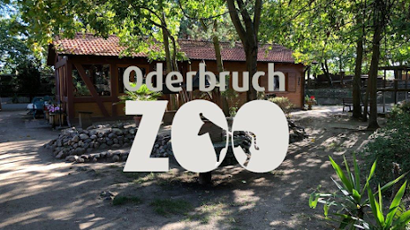
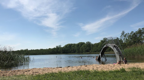
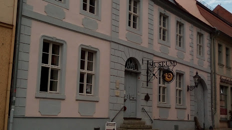
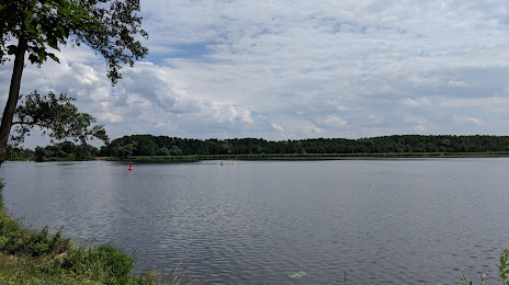
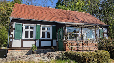
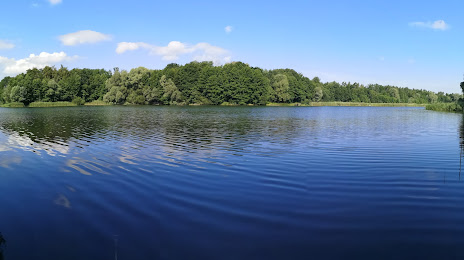
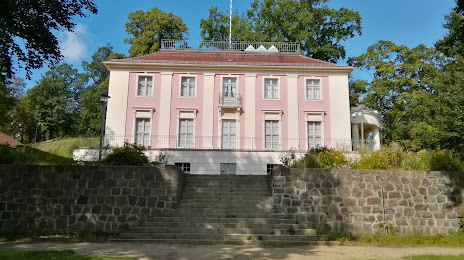
Attractions
Distance to the capital
Distance to the capital (Berlin) is about — 52 km.