
 Gullspångsälven
Gärdsnäs
Skänninge
Gnosjö
Almunge
Halmstad
Stockholm
Limhamn
Lycksele
Sorsele
Tyreso
Fjärdhundra
Kronoberg County
Sweden
Only
Halmstad
Bromma Stockholm Airport
Västergarn
Bärby
Gullspångsälven
Gärdsnäs
Skänninge
Gnosjö
Almunge
Halmstad
Stockholm
Limhamn
Lycksele
Sorsele
Tyreso
Fjärdhundra
Kronoberg County
Sweden
Only
Halmstad
Bromma Stockholm Airport
Västergarn
Bärby
Orebro on the map, Sweden
Where is located Orebro
Exact location — Örebro, Örebro, Örebro, Sweden, marked on the map with a red marker.
Coordinates
Orebro, Sweden coordinates in decimal format: latitude — 59.2752626, longitude — 15.2134105. When converted to degrees, minutes, seconds Orebro has the following coordinates: 59°16′30.95 north latitude and 15°12′48.28 east longitude.
Population
Örebro, Örebro, Örebro, Sweden, according to our data the population is — 98,573 residents, which is about 1% of the total population of the country (Sweden).
Comparison of the population on the graph:
Exact time
Time zone for this location Orebro — UTC +2 Europe/Stockholm. Exact time — friday, 5 may 2024 year, 19 h. 49 minutes.
Sunrise and sunset
Orebro, sunrise and sunset data for a date — friday 10.05.2024.
| Sunrise | Sunset | Day (duration) |
|---|---|---|
| 04:42 -2 minutes | 21:09 +3 minutes | 16 h. 30 minutes. +5 minutes |
You can control the scale of the map using the auxiliary tools to find out exactly where it is located Orebro. When you change the scale of the map, the width of the ruler also changes (in kilometers and miles).
Nearby cities
The largest cities that are located nearby:
- Västerås — 83 km
- Uppsala — 149 km
- Stockholm — 161 km
- Oslo
 (Norway) — 257 km
 - Aalborg
 (Denmark) — 402 km
 - Turku
 (Finland) — 406 km
 - Malmö — 429 km
- Copenhagen (Denmark) — 431 km
- Aarhus (Denmark) — 462 km
- Tampere (Finland) — 514 km
- Trondheim (Norway) — 518 km
- Odense (Denmark) — 524 km
- Espoo (Finland) — 529 km
- Tallinn
 (Estonia) — 537 km
 - Klaipėda
 (Lithuania) — 541 km
 - Stavanger (Norway) — 541 km
- Helsinki (Finland) — 544 km
- Vantaa (Finland) — 550 km
- Bergen (Norway) — 554 km
Distance to neighboring capitals:
- Oslo (Norway) — 261 km
- Mariehamn (Åland Islands) — 280 km
- Copenhagen (Denmark) — 430 km
- Helsinki (Finland) — 554 km
- Moscow
 (Russia) — 1387 km
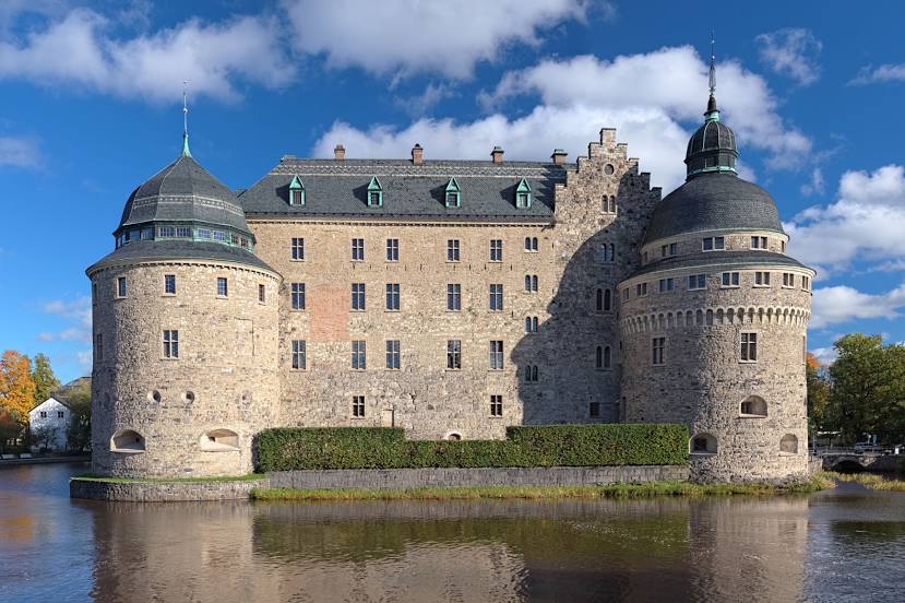
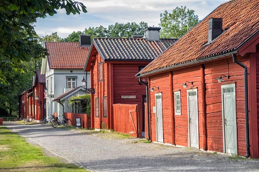
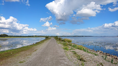
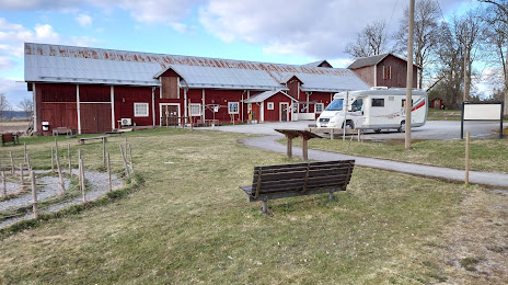
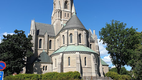
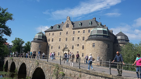
Attractions


Distance to the capital
Distance to the capital (Stockholm) is about — 156 km.