Châtel-sur-Moselle — Montoir-de-Bretagne
Châtel-sur-Moselle — Marcillac
Châtel-sur-Moselle — Revigny-sur-Ornain
Châtel-sur-Moselle — Crécy-au-Mont
Châtel-sur-Moselle — Beaumettes
Châtel-sur-Moselle — Rouen
Châtel-sur-Moselle — Bannes
Châtel-sur-Moselle — Issoudun
Châtel-sur-Moselle — Laning
Châtel-sur-Moselle — Bellentre
Châtel-sur-Moselle — Méru
Châtel-sur-Moselle — Saint-Servais
Châtel-sur-Moselle — Perpignan–Rivesaltes Airport
Châtel-sur-Moselle — Gujan-Mestras
Châtel-sur-Moselle — Briatexte
Châtel-sur-Moselle — Guingamp
Châtel-sur-Moselle — Argelliers
Châtel-sur-Moselle — Quincié-en-Beaujolais
Châtel-sur-Moselle — Cléder
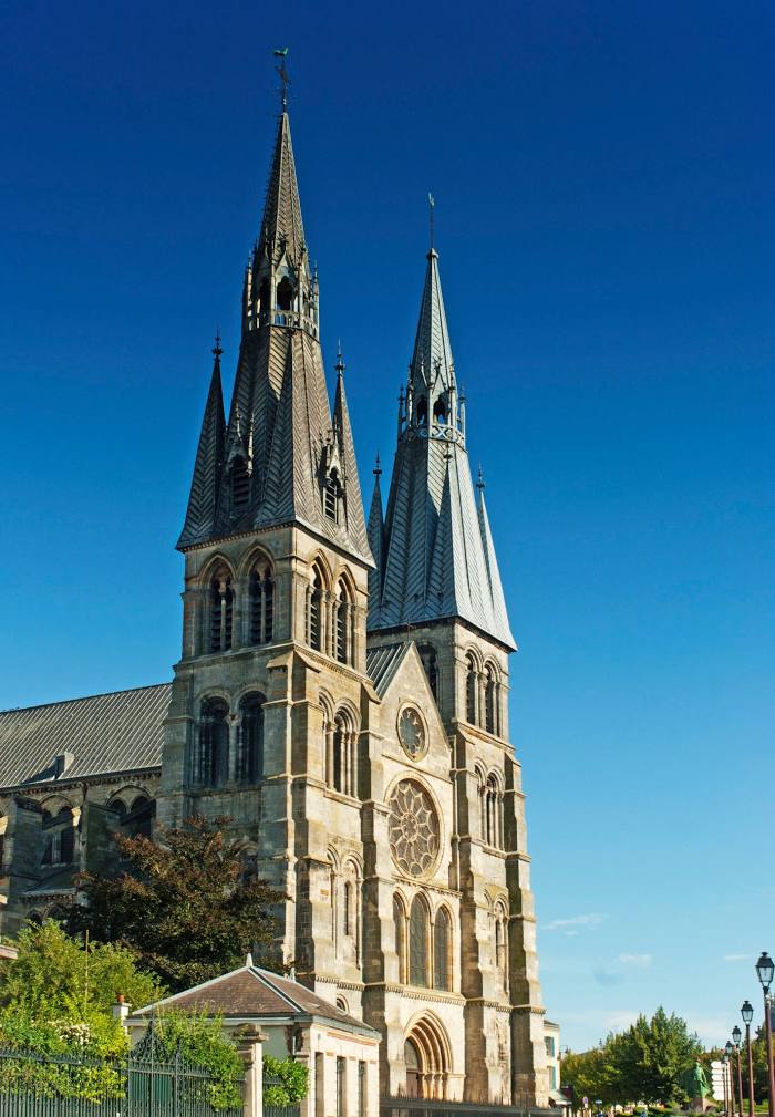
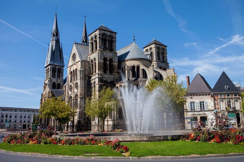
Châtel-sur-Moselle — Châlons-en-Champagne distance, route on the map
Distance by car
Distance between Châtel-sur-Moselle, Lorraine, France and Châlons-en-Champagne, Champagne-Ardenne, France by car is — km, or miles. To travel this distance by car, you need minute, or h.
Route on the map, driving directions
Car route Châtel-sur-Moselle — Châlons-en-Champagne was created automatically. The road on the map is shown as a blue line. By moving the markers, you can create a new route through the points you need.
Distance by plane
If you decide to take a trip Châtel-sur-Moselle Châlons-en-Champagne by plane, then you have to fly the distance — 166 km or 103 miles. It is marked on the map with a gray line (between two points in a straight line).
Flight time
Estimated flight time Châtel-sur-Moselle Châlons-en-Champagne by plane at cruising speed 750 km / h will be — 13 min.
Direction of movement
France, Châtel-sur-Moselle — right-hand traffic. France, Châlons-en-Champagne — right-hand traffic.
Difference in time
Châtel-sur-Moselle and Châlons-en-Champagne are in the same time zone. Between them there is no time difference (UTC +2 Europe/Paris).
Interesting Facts
Information on alternative ways to get to your destination.
The length of this distance is about 0.4% of the total length of the equator.
The percentage of the population is clearly shown in the graph:
Châtel-sur-Moselle — 1,716 (less by 49,541), Châlons-en-Champagne — 51,257 residents.
The cost of travel
Calculate the cost of the trip yourself using the fuel consumption calculator, changing the data in the table.