Khenchela — Saharij
Khenchela — Bir el Ater
Khenchela — Ouled Djellal
Khenchela — Tigherghar
Khenchela — BENI OURTILANE
Khenchela — Setif
Khenchela — Chlef
Khenchela — Bouira Lahdab
Khenchela — Beni Boussaid
Khenchela — In Ghar
Khenchela — Hassiane Ettoual
Khenchela — Tipaza
Khenchela — Sidi Boussaid
Khenchela — Kouba
Khenchela — Mila Province
Khenchela — Oum Toub
Khenchela — تملاكة
Khenchela — Asla
Khenchela — BEDJEN
El Hamma
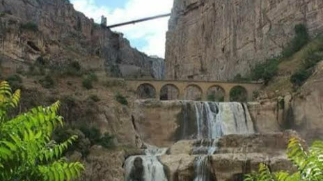
Baghai
Eye Olive
Oum El Bouaghi
Oum El Bouaghi Province
Sidi R'ghis
Ain Fakroun
Ain Fakroun
Sigus
Ouled Rahmoune
El Khroub
El Khroub
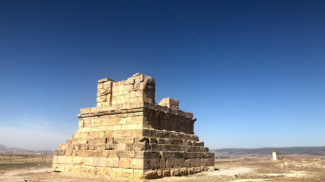
Constantine Province
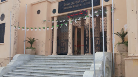
Constantine
Khenchela — Saharij
Khenchela — Bir el Ater
Khenchela — Ouled Djellal
Khenchela — Tigherghar
Khenchela — BENI OURTILANE
Khenchela — Setif
Khenchela — Chlef
Khenchela — Bouira Lahdab
Khenchela — Beni Boussaid
Khenchela — In Ghar
Khenchela — Hassiane Ettoual
Khenchela — Tipaza
Khenchela — Sidi Boussaid
Khenchela — Kouba
Khenchela — Mila Province
Khenchela — Oum Toub
Khenchela — تملاكة
Khenchela — Asla
Khenchela — BEDJEN
El Hamma
Baghai
Eye Olive
Oum El Bouaghi
Oum El Bouaghi Province
Sidi R'ghis
Ain Fakroun
Ain Fakroun
Sigus
Ouled Rahmoune
El Khroub
El Khroub
Constantine Province
Constantine
Khenchela — Constantine distance, route on the map
Distance by car
Distance between Khenchela, Khenchela, Algeria and Constantine, Constantine, Algeria by car is — km, or miles. To travel this distance by car, you need minute, or h.
Route on the map, driving directions
Car route Khenchela — Constantine was created automatically. The road on the map is shown as a blue line. By moving the markers, you can create a new route through the points you need.
Passing cities through which the car route passes: Khenchela Province, El Hamma, Baghai, Eye Olive, Oum El Bouaghi, Oum El Bouaghi Province, Sidi R'ghis, Ain Fakroun, Ain Fakroun, Sigus, Ouled Rahmoune, El Khroub, El Khroub, Constantine Province, Constantine.
Distance by plane
If you decide to take a trip Khenchela Constantine by plane, then you have to fly the distance — 113 km or 70 miles. It is marked on the map with a gray line (between two points in a straight line).
Flight time
Estimated flight time Khenchela Constantine by plane at cruising speed 750 km / h will be — 9 min.
Direction of movement
Algeria, Khenchela — right-hand traffic. Algeria, Constantine — right-hand traffic.
Difference in time
Khenchela and Constantine are in the same time zone. Between them there is no time difference (UTC +1 Africa/Algiers).
Interesting Facts
Information on alternative ways to get to your destination.
The length of this distance is about 0.3% of the total length of the equator.
The percentage of the population is clearly shown in the graph:
Khenchela — 117,000 (less by 333,126), Constantine — 450,126 residents.
The cost of travel
Calculate the cost of the trip yourself using the fuel consumption calculator, changing the data in the table.