
 AX-en-Provence
La Brede
Varennes-en-Argonne
Montchavin
Brévillers
Sarthe
Sauvagnon
Wildenstein
Cabannes
Rabat-les-Trois-Seigneurs
Corbon
Lorraine
Villeneuve-de-Marc
Billom
Reel
Noyen-sur-Sarthe
Arles-sur-Tech
Roussillon
Campagne-lès-Guînes
AX-en-Provence
La Brede
Varennes-en-Argonne
Montchavin
Brévillers
Sarthe
Sauvagnon
Wildenstein
Cabannes
Rabat-les-Trois-Seigneurs
Corbon
Lorraine
Villeneuve-de-Marc
Billom
Reel
Noyen-sur-Sarthe
Arles-sur-Tech
Roussillon
Campagne-lès-Guînes
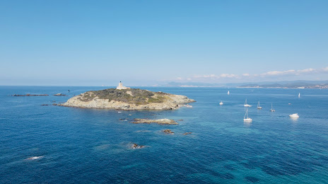
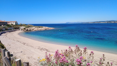
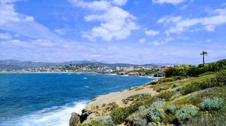
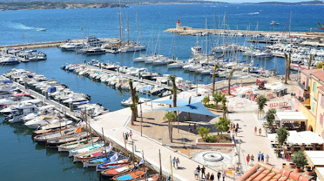
Six-Fours-les-Plages on the map, France
Where is located Six-Fours-les-Plages
Exact location — Six-Fours-les-Plages, Var, Provence-Alpes-Côte d'Azur, France, marked on the map with a red marker.
Coordinates
Six-Fours-les-Plages, France coordinates in decimal format: latitude — 43.093062, longitude — 5.839225. When converted to degrees, minutes, seconds Six-Fours-les-Plages has the following coordinates: 43°5′35.02 north latitude and 5°50′21.21 east longitude.
Population
Six-Fours-les-Plages, Var, Provence-Alpes-Côte d'Azur, France, according to our data the population is — 34,779 residents, which is about 0.1% of the total population of the country (France).
Comparison of the population on the graph:
Exact time
Time zone for this location Six-Fours-les-Plages — UTC +2 Europe/Paris. Exact time — friday, 5 may 2024 year, 12 h. 33 minutes.
Sunrise and sunset
Six-Fours-les-Plages, sunrise and sunset data for a date — friday 17.05.2024.
| Sunrise | Sunset | Day (duration) |
|---|---|---|
| 06:14 -1 minute | 20:52 +1 minute | 14 h. 36 minutes. +2 minutes |
You can control the scale of the map using the auxiliary tools to find out exactly where it is located Six-Fours-les-Plages. When you change the scale of the map, the width of the ruler also changes (in kilometers and miles).
Nearby cities
The largest cities that are located nearby:
- Toulon — 8 km
- Marseille — 44 km
- Aix-en-Provence — 58 km
- Nice — 133 km
- Nimes — 144 km
- Montpellier — 167 km
- Grenoble — 232 km
- Perpignan — 243 km
- Turin
 (Italy) — 262 km
 - Saint-Étienne — 283 km
- Genoa (Italy) — 285 km
- Villeurbanne — 305 km
- Lyon — 305 km
- Mataró
 (Spain) — 329 km
 - Novara (Italy) — 338 km
- Geneva
 (Switzerland) — 344 km
 - Sassari (Italy) — 347 km
- Badalona (Spain) — 349 km
- Santa Coloma de Gramenet (Spain) — 352 km
Distance to neighboring capitals:
- Andorra la Vella
 (Andorra) — 358 km
 - Bern (Switzerland) — 447 km
- Vaduz
 (Liechtenstein) — 535 km
 - Rome (Italy) — 562 km
- Madrid (Spain) — 845 km
- Brussels
 (Belgium) — 870 km
 - Vienna
 (Austria) — 996 km
 - Prague
 (Czech Republic) — 1016 km
 - Amsterdam
 (Netherlands) — 1034 km
 - London
 (United Kingdom) — 1038 km
 - Berlin
 (Germany) — 1190 km
 - Lisbon
 (Portugal) — 1347 km
 - Copenhagen
 (Denmark) — 1480 km
 - Warsaw
 (Poland) — 1519 km
 - Nicosia
 — 2519 km
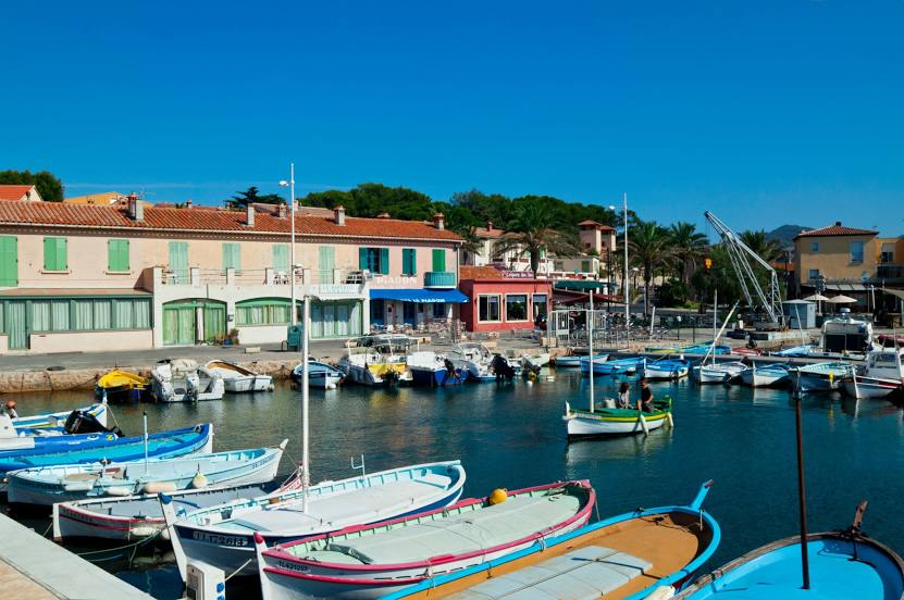
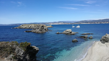
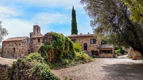
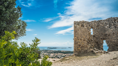
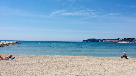
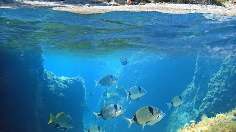
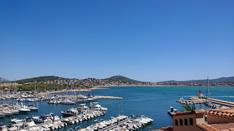
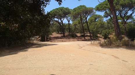
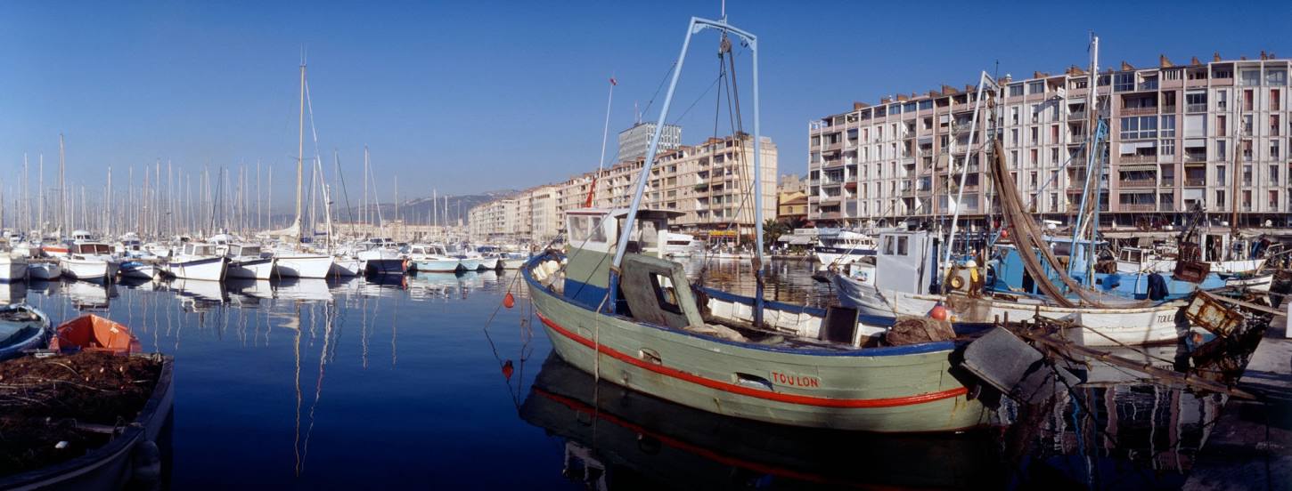
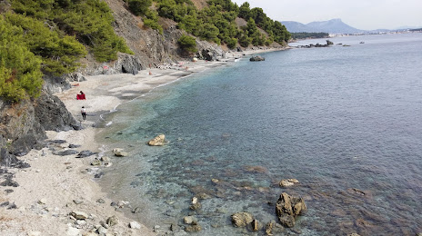
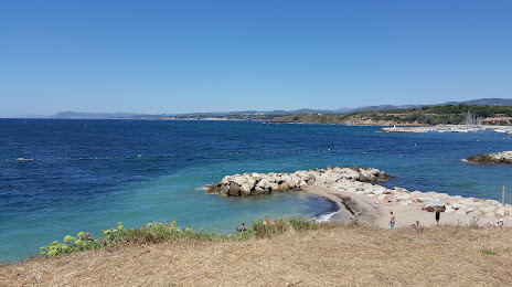
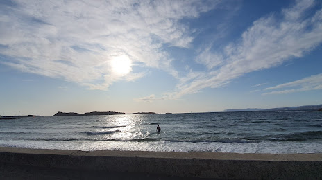
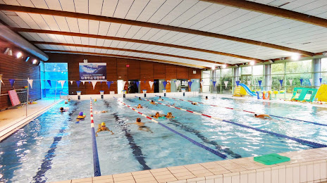
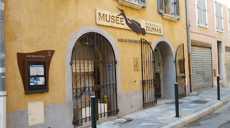
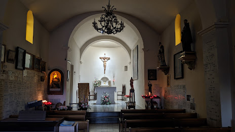
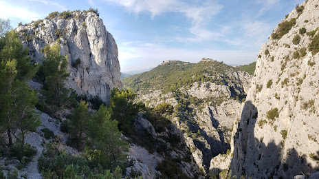
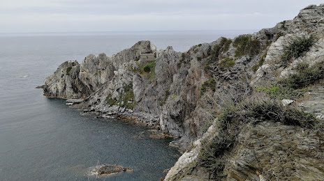
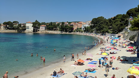
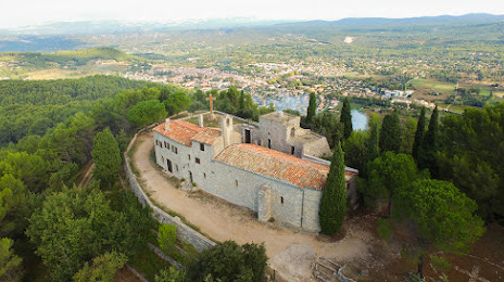
Attractions


Distance to the capital
Distance to the capital (Paris) is about — 695 km.