
 Lignières-Sonneville
Mortagne-sur-Gironde
Bonnac-la-Côte
Île-de-France
Nogent-l'Artaud
Cère
Migennes
Baron
Altkirch
Vosges
Baneuil
France
Schlierbach
Hombourg
Vinantes
Orgères
Neufmaison
Mozac
Seebach
Lignières-Sonneville
Mortagne-sur-Gironde
Bonnac-la-Côte
Île-de-France
Nogent-l'Artaud
Cère
Migennes
Baron
Altkirch
Vosges
Baneuil
France
Schlierbach
Hombourg
Vinantes
Orgères
Neufmaison
Mozac
Seebach
Cherbourg on the map, France
Where is located Cherbourg
Exact location — Cherbourg, Manche, Basse-Normandie, France, marked on the map with a red marker.
Coordinates
Cherbourg, France coordinates in decimal format: latitude — 49.6337308, longitude — -1.622137. When converted to degrees, minutes, seconds Cherbourg has the following coordinates: 49°38′1.43 north latitude and -1°37′19.69 east longitude.
Population
Cherbourg, Manche, Basse-Normandie, France, according to our data the population is — 26,655 residents, which is about 0% of the total population of the country (France).
Comparison of the population on the graph:
Exact time
Time zone for this location Cherbourg — UTC +2 Europe/Paris. Exact time — tuesday, 5 may 2024 year, 14 h. 54 minutes.
Sunrise and sunset
Cherbourg, sunrise and sunset data for a date — tuesday 14.05.2024.
| Sunrise | Sunset | Day (duration) |
|---|---|---|
| 06:26 -1 minute | 21:39 +2 minutes | 15 h. 12 minutes. +3 minutes |
You can control the scale of the map using the auxiliary tools to find out exactly where it is located Cherbourg. When you change the scale of the map, the width of the ruler also changes (in kilometers and miles).
Nearby cities
The largest cities that are located nearby:
- Caen — 103 km
- Bournemouth
 (United Kingdom) — 121 km
 - Le Havre — 125 km
- Portsmouth (United Kingdom) — 136 km
- Southampton (United Kingdom) — 142 km
- Rennes — 168 km
- Exeter (United Kingdom) — 180 km
- Eastbourne (United Kingdom) — 183 km
- Crawley (United Kingdom) — 191 km
- Rouen — 197 km
- Reading (United Kingdom) — 206 km
- Bristol (Great Britain) — 212 km
- Swindon (United Kingdom) — 213 km
- Sutton (United Kingdom) — 215 km
- Slough (United Kingdom) — 219 km
- Le Mans — 225 km
- London (United Kingdom) — 231 km
- Oxford (United Kingdom) — 236 km
- Watford (United Kingdom) — 239 km
Distance to neighboring capitals:
- London (United Kingdom) — 234 km
- Brussels
 (Belgium) — 446 km
 - Amsterdam
 (Netherlands) — 548 km
 - Bern
 (Switzerland) — 734 km
 - Andorra la Vella
 (Andorra) — 829 km
 - Vaduz
 (Liechtenstein) — 868 km
 - Madrid
 (Spain) — 1038 km
 - Berlin
 (Germany) — 1096 km
 - Prague
 (Czech Republic) — 1150 km
 - Copenhagen
 (Denmark) — 1166 km
 - Vienna
 (Austria) — 1322 km
 - Lisbon
 (Portugal) — 1352 km
 - Rome
 (Italy) — 1389 km
 - Warsaw
 (Poland) — 1606 km
 - Nicosia
 — 3252 km
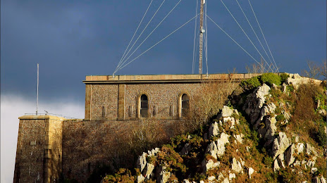
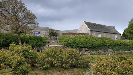
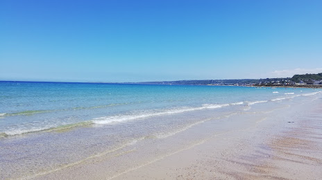
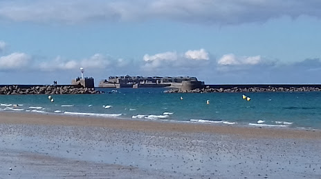
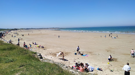
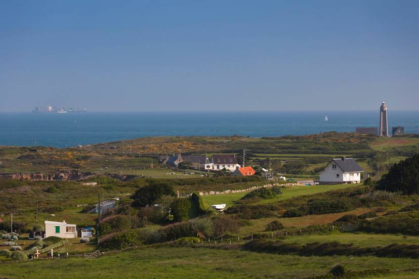
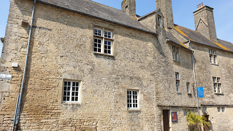
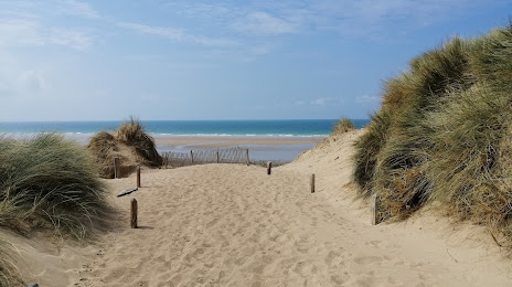
Attractions


Distance to the capital
Distance to the capital (Paris) is about — 301 km.