Manaus — Tamboara
Manaus — Laranjeiras do Sul
Manaus — Porciúncula
Manaus — Maxaranguape
Manaus — Diamante
Manaus — Peabiru
Manaus — Jateí
Manaus — Três de Maio
Manaus — Boa Vista
Manaus — Miguel Pereira
Manaus — Pirizal
Manaus — Sobradinho
Manaus — Laje
Manaus — Araruama
Manaus — Sousa
Manaus — Meleiro
Manaus — State of Maranhão
Manaus — Alto Paraguai
Manaus — Teresópolis
Humaitá
Jacareacanga
Maciel
Itaituba
Km 30
Uruará
Altamira
Km 100
Marabá
Imperatriz
Barra do Corda
Tuntum
Presidente Dutra
Colinas
São João dos Patos
Floriano
Oeiras
Peaks
Vila Nova do Piauí
Araripina
Crato
Juazeiro do Norte
Juazeiro do Norte
Cajazeiras
Sousa
Sousa
Pombal
Caicó
Cruzeta
Acari
Currais Novos
Guanta
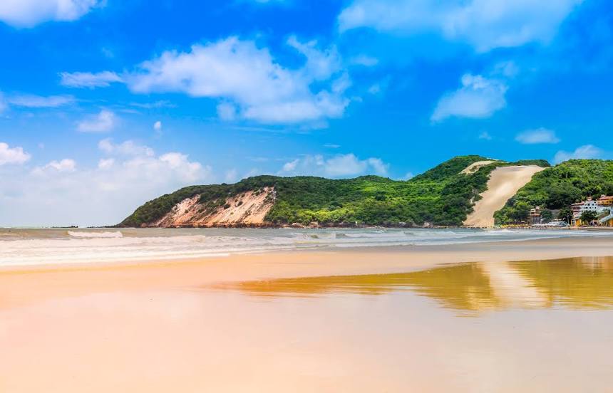
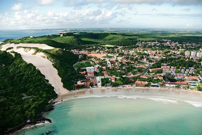
São Gonçalo do Amarante
Parnamirim
Augusto Severo International Airport
Manaus — Tamboara
Manaus — Laranjeiras do Sul
Manaus — Porciúncula
Manaus — Maxaranguape
Manaus — Diamante
Manaus — Peabiru
Manaus — Jateí
Manaus — Três de Maio
Manaus — Boa Vista
Manaus — Miguel Pereira
Manaus — Pirizal
Manaus — Sobradinho
Manaus — Laje
Manaus — Araruama
Manaus — Sousa
Manaus — Meleiro
Manaus — State of Maranhão
Manaus — Alto Paraguai
Manaus — Teresópolis
Humaitá
Jacareacanga
Maciel
Itaituba
Km 30
Uruará
Altamira
Km 100
Marabá
Imperatriz
Barra do Corda
Tuntum
Presidente Dutra
Colinas
São João dos Patos
Floriano
Oeiras
Peaks
Vila Nova do Piauí
Araripina
Crato
Juazeiro do Norte
Juazeiro do Norte
Cajazeiras
Sousa
Sousa
Pombal
Caicó
Cruzeta
Acari
Currais Novos
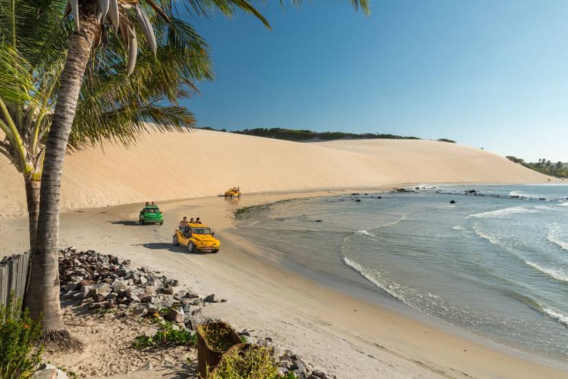
Guanta
São Gonçalo do Amarante
Parnamirim
Augusto Severo International Airport
Manaus — Natal distance, route on the map
Distance by car
Distance between Manaus, Amazonas, Brazil and Natal, Rio Grande do Norte, Brazil by car is — km, or miles. To travel this distance by car, you need minute, or h.
Route on the map, driving directions
Car route Manaus — Natal was created automatically. The road on the map is shown as a blue line. By moving the markers, you can create a new route through the points you need.
Passing cities through which the car route passes: Careiro, Humaitá, Jacareacanga, Maciel, Itaituba, Km 30, Uruará, Altamira, Km 100, Marabá, Imperatriz, Barra do Corda, Tuntum, Presidente Dutra, Colinas, São João dos Patos, Floriano, Oeiras, Peaks, Vila Nova do Piauí, Araripina, Crato, Juazeiro do Norte, Juazeiro do Norte, Cajazeiras, Sousa, Sousa, Pombal, Caicó, Cruzeta, Acari, Currais Novos, Guanta, São Gonçalo do Amarante, Parnamirim, Augusto Severo International Airport.
Distance by plane
If you decide to take a trip Manaus Natal by plane, then you have to fly the distance — 2768 km or 1716 miles. It is marked on the map with a gray line (between two points in a straight line).
Flight time
Estimated flight time Manaus Natal by plane at cruising speed 750 km / h will be — 3 h. and 41 min.
Direction of movement
Brazil, Manaus — right-hand traffic. Brazil, Natal — right-hand traffic.
Difference in time
Manaus and Natal are in different time zones. The time difference is 1 hour (UTC -4 America/Boa_Vista, UTC -3 America/Fortaleza).
Interesting Facts
Information on alternative ways to get to your destination.
The length of this distance is about 6.9% of the total length of the equator.
The percentage of the population is clearly shown in the graph:
Manaus — 1,598,227, Natal — 763,057 residents (less by 835,170).
The cost of travel
Calculate the cost of the trip yourself using the fuel consumption calculator, changing the data in the table.