
 Puertollano
Villabalter
Ciudad Real
Bilbao
Gelida
Mijas
Alpedrete
Manresa
Colunga
Barcelona–El Prat Airport
Valladolid
San Salvador de Hornija
Badalona
Sabadell
Madrid
Puertollano
Villabalter
Ciudad Real
Bilbao
Gelida
Mijas
Alpedrete
Manresa
Colunga
Barcelona–El Prat Airport
Valladolid
San Salvador de Hornija
Badalona
Sabadell
Madrid
Fuenlabrada on the map, Spain
Where is located Fuenlabrada
Exact location — Fuenlabrada, Madrid, Comunidad de Madrid, Spain, marked on the map with a red marker.
Coordinates
Fuenlabrada, Spain coordinates in decimal format: latitude — 40.2902056, longitude — -3.8035477. When converted to degrees, minutes, seconds Fuenlabrada has the following coordinates: 40°17′24.74 north latitude and -3°48′12.77 east longitude.
Population
Fuenlabrada, Madrid, Comunidad de Madrid, Spain, according to our data the population is — 202,088 residents, which is about 0.4% of the total population of the country (Spain).
Comparison of the population on the graph:
Exact time
Time zone for this location Fuenlabrada — UTC +2 Europe/Madrid. Exact time — saturday, 4 april 2024 year, 21 h. 31 minute.
Sunrise and sunset
Fuenlabrada, sunrise and sunset data for a date — saturday 27.04.2024.
| Sunrise | Sunset | Day (duration) |
|---|---|---|
| 07:22 -1 minute | 21:03 +1 minute | 13 h. 42 minutes. +2 minutes |
You can control the scale of the map using the auxiliary tools to find out exactly where it is located Fuenlabrada. When you change the scale of the map, the width of the ruler also changes (in kilometers and miles).
Nearby cities
The largest cities that are located nearby:
- Leganés — 5 km
- Getafe — 6 km
- Móstoles — 7 km
- Alcorcón — 7 km
- Alcobendas — 31 km
- Torrejón de Ardoz — 33 km
- Alcala de Henares — 43 km
- Valladolid — 169 km
- Salamanca — 173 km
- Albacete — 220 km
- Burgos — 227 km
- Logroño — 265 km
- Jaén — 278 km
- Córdoba — 279 km
- Zaragoza — 284 km
- León — 293 km
- Vitoria-Gasteiz — 298 km
- Valencia — 306 km
- Badajoz — 314 km
Distance to neighboring capitals:
- Lisbon
 (Portugal) — 490 km
 - Andorra la Vella
 (Andorra) — 508 km
 - Rabat
 (Morocco) — 753 km
 - Paris
 (France) — 1070 km
 - Paris (France) — 1070 km
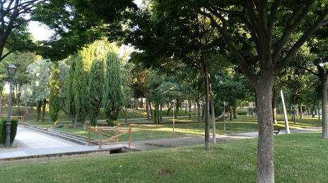
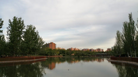
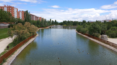
Attractions

Distance to the capital
Distance to the capital (Madrid) is about — 16 km.