Ixtapan de la Sal — Jalpa de Méndez
Ixtapan de la Sal — Impossible
Ixtapan de la Sal — Real del Monte
Ixtapan de la Sal — Esqueda
Ixtapan de la Sal — San Andrés Sinaxtla
Ixtapan de la Sal — Ville de Arriaga
Ixtapan de la Sal — The ports
Ixtapan de la Sal — Tatahuicapan de Juárez
Ixtapan de la Sal — Temósachic Municipality
Ixtapan de la Sal — Mazunte
Ixtapan de la Sal — Marín
Ixtapan de la Sal — Samahil
Ixtapan de la Sal — Ciudad Cuauhtemoc
Ixtapan de la Sal — Oxchuc
Ixtapan de la Sal — Nacajuca
Ixtapan de la Sal — Cuatro Caminos
Ixtapan de la Sal — Tianguismanalco
Ixtapan de la Sal — Aire Libre
Ixtapan de la Sal — Saloya 2da
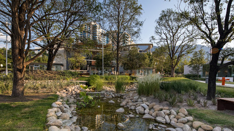
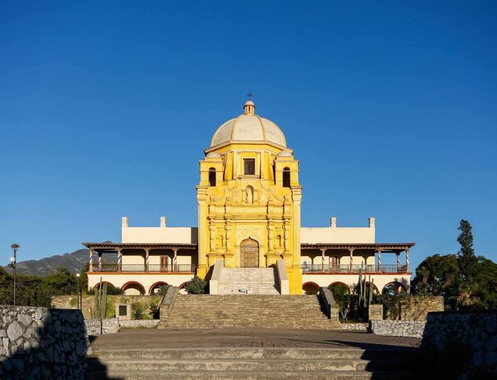
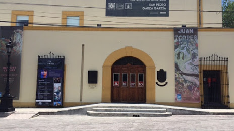
Ixtapan de la Sal — San Pedro Garza García distance, route on the map
Distance by car
Distance between Ixtapan de la Sal, Mexico state, Mexico and San Pedro Garza García, Nuevo León, Mexico by car is — km, or miles. To travel this distance by car, you need minute, or h.
Route on the map, driving directions
Car route Ixtapan de la Sal — San Pedro Garza García was created automatically. The road on the map is shown as a blue line. By moving the markers, you can create a new route through the points you need.
Distance by plane
If you decide to take a trip Ixtapan de la Sal San Pedro Garza García by plane, then you have to fly the distance — 762 km or 472 miles. It is marked on the map with a gray line (between two points in a straight line).
Flight time
Estimated flight time Ixtapan de la Sal San Pedro Garza García by plane at cruising speed 750 km / h will be — 1 h.
Direction of movement
Mexico, Ixtapan de la Sal — right-hand traffic. Mexico, San Pedro Garza García — right-hand traffic.
Difference in time
Ixtapan de la Sal and San Pedro Garza García are in the same time zone. Between them there is no time difference (UTC -6 America/Mexico_City).
Interesting Facts
Information on alternative ways to get to your destination.
The length of this distance is about 1.9% of the total length of the equator.
The percentage of the population is clearly shown in the graph:
Ixtapan de la Sal — 17,648 (less by 104,361), San Pedro Garza García — 122,009 residents.
The cost of travel
Calculate the cost of the trip yourself using the fuel consumption calculator, changing the data in the table.