 Tlaxcala
San Luis Potosi
Colima
Mexico City
Mina
Aguascalientes
Mexico City
San Jerónimo
Tabasco
Tlalnepantla
Ciudad Juarez
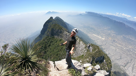
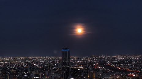
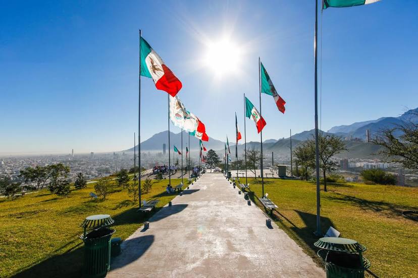
Monterrey
Ensenada
Tijuana
Tlaxcala
San Luis Potosi
Colima
Mexico City
Mina
Aguascalientes
Mexico City
San Jerónimo
Tabasco
Tlalnepantla
Ciudad Juarez
Monterrey
Ensenada
Tijuana
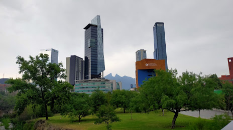
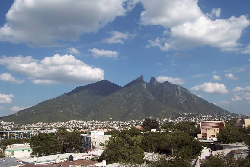
San Pedro Garza García on the map, Mexico
Where is located San Pedro Garza García
Exact location — San Pedro Garza García, San Pedro Garza García, Nuevo León, Mexico, marked on the map with a red marker.
Coordinates
San Pedro Garza García, Mexico coordinates in decimal format: latitude — 25.6573447, longitude — -100.4017501. When converted to degrees, minutes, seconds San Pedro Garza García has the following coordinates: 25°39′26.44 north latitude and -100°24′6.3 east longitude.
Population
San Pedro Garza García, San Pedro Garza García, Nuevo León, Mexico, according to our data the population is — 122,009 residents, which is about 0.1% of the total population of the country (Mexico).
Comparison of the population on the graph:
Exact time
Time zone for this location San Pedro Garza García — UTC -6 America/Mexico_City. Exact time — sunday, 4 april 2024 year, 15 h. 18 minutes.
Sunrise and sunset
San Pedro Garza García, sunrise and sunset data for a date — sunday 28.04.2024.
| Sunrise | Sunset | Day (duration) |
|---|---|---|
| 06:09 -1 minute | 19:08 -0 minutes | 13 h. 0 minutes. +1 minute |
You can control the scale of the map using the auxiliary tools to find out exactly where it is located San Pedro Garza García. When you change the scale of the map, the width of the ruler also changes (in kilometers and miles).
Nearby cities
The largest cities that are located nearby:
- Santa Catarina — 6 km
- Monterrey — 9 km
- Guadalupe — 14 km
- San Nicolas de los Garza — 15 km
- General Escobedo — 16 km
- Apodaca — 25 km
- Saltillo — 65 km
- Monclova — 171 km
- Reynosa — 216 km
- Nuevo Laredo — 218 km
- McAllen
 (United States) — 224 km
 - Laredo (United States) — 226 km
- Ciudad Victoria — 248 km
- Matamoros — 282 km
- Brownsville (United States) — 290 km
- Torreón — 300 km
- Gómez Palacio — 308 km
- Piedras Negras — 337 km
- Fresnillo — 372 km
Distance to neighboring capitals:
- Belmopan
 (Belize) — 1523 km
 - Guatemala City
 (Guatemala) — 1602 km
 - Tegucigalpa
 (Honduras) — 1884 km
 - Washington (United States) — 2633 km
- Ottawa
 (Canada) — 3111 km
 - Saint John
 (Puerto Rico) — 3614 km
 - Belgrade
 (Serbia) — 10157 km
 - Podgorica
 (Montenegro) — 10246 km
 - Hagåtña
 (Guam) — 11736 km
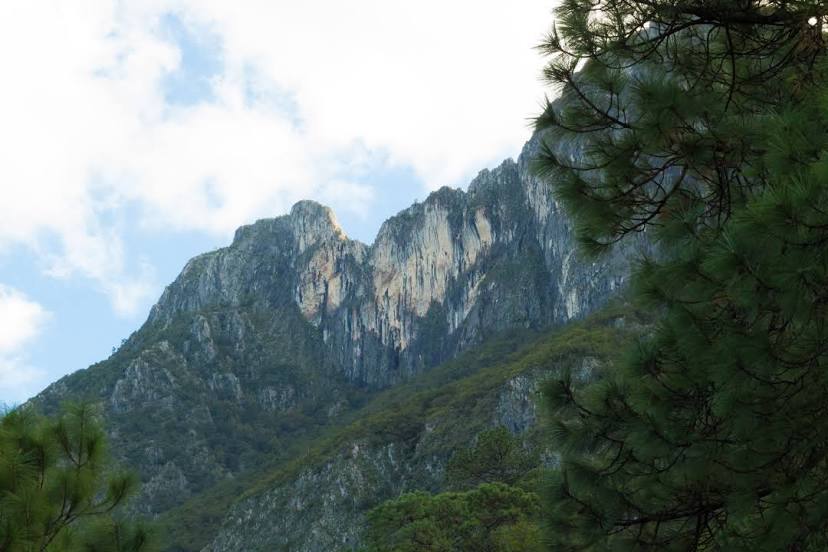
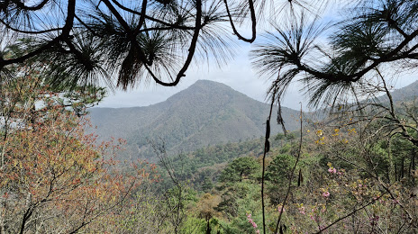
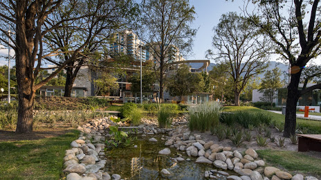
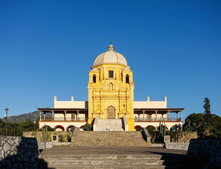
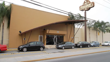
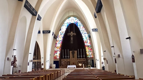
Attractions

Distance to the capital
Distance to the capital (Mexico City) is about — 704 km.