 Bel-Ha
San Jose El Alto
El Porvenir
Nueva Palestina
Santa Lucía
Chemax
La Morita
Temoac
Zacualpan
Bel-Ha
San Jose El Alto
El Porvenir
Nueva Palestina
Santa Lucía
Chemax
La Morita
Temoac
Zacualpan
Cerro de la Loma Larga on the map, San Pedro Garza García, Mexico
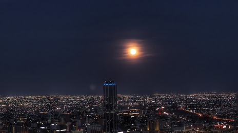
Photo
Where is located Cerro de la Loma Larga
Cerro de la Loma Larga — local attraction, which is located at Long Hill Mountain and belongs to the category — -. Average visitor rating for this place — 4.6 (according to 11 ratings, information from open sources and relevant for 2022).
Exact location — Cerro de la Loma Larga, marked on the map with a red marker.
You can get directions to Cerro de la Loma Larga on the map from your location.
What else is interesting in San Pedro Garza García? You can see all the sights if you go to the city page.
Coordinates
Cerro de la Loma Larga, Mexico coordinates in decimal format: latitude — 25.655012922230792, longitude — -100.33479227788712. When converted to degrees, minutes, seconds Cerro de la Loma Larga has the following coordinates: 25°39′18.05 north latitude and -100°20′5.25 east longitude.
Nearby cities
The largest cities that are located nearby:
- Santa Catarina — 6 km
- Monterrey — 9 km
- Guadalupe — 14 km
- San Nicolas de los Garza — 15 km
- General Escobedo — 16 km
- Apodaca — 25 km
- Saltillo — 65 km
- Monclova — 171 km
- Reynosa — 216 km
- Nuevo Laredo — 218 km
- McAllen
 (United States) — 224 km
 - Laredo (United States) — 226 km
- Ciudad Victoria — 248 km
- Matamoros — 282 km
- Brownsville (United States) — 290 km
- Torreón — 300 km
- Gómez Palacio — 308 km
- Piedras Negras — 337 km
- Fresnillo — 372 km
Distance to the capital
Distance to the capital (Mexico City) is about — 703 km.