
 Alcaraz
Torrejón de Ardoz
Huete
Orcoyen
Durango
Huerta
Sant Cugat del Vallès
Narón
Villarejo de Salvanés
Salcedo
Premià de Mar
Granja de Torrehermosa
Armenteros
Bañón
Bellver
Torrent
Huesca
Motril
Franco
Alcaraz
Torrejón de Ardoz
Huete
Orcoyen
Durango
Huerta
Sant Cugat del Vallès
Narón
Villarejo de Salvanés
Salcedo
Premià de Mar
Granja de Torrehermosa
Armenteros
Bañón
Bellver
Torrent
Huesca
Motril
Franco
El Vendrell on the map, Spain
Where is located El Vendrell
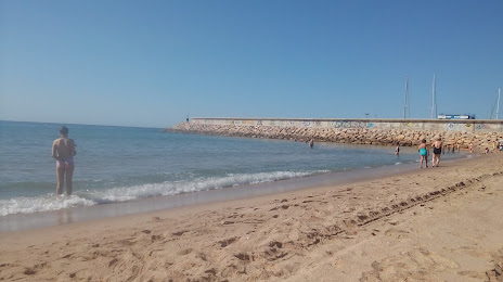
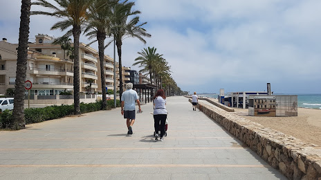
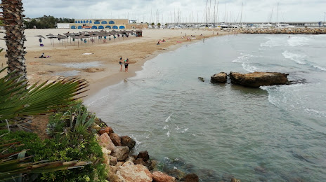
Exact location — El Vendrell, Tarragona, Catalunya, Spain, marked on the map with a red marker.
Coordinates
El Vendrell, Spain coordinates in decimal format: latitude — 41.2196699, longitude — 1.534307. When converted to degrees, minutes, seconds El Vendrell has the following coordinates: 41°13′10.81 north latitude and 1°32′3.51 east longitude.
Population
El Vendrell, Tarragona, Catalunya, Spain, according to our data the population is — 26,947 residents, which is about 0.1% of the total population of the country (Spain).
Comparison of the population on the graph:
Exact time
Time zone for this location El Vendrell — UTC +2 Europe/Madrid. Exact time — thursday, 5 may 2024 year, 08 h. 40 minutes.
Sunrise and sunset
El Vendrell, sunrise and sunset data for a date — thursday 9.05.2024.
| Sunrise | Sunset | Day (duration) |
|---|---|---|
| 06:44 -1 minute | 20:56 +1 minute | 14 h. 12 minutes. +2 minutes |
You can control the scale of the map using the auxiliary tools to find out exactly where it is located El Vendrell. When you change the scale of the map, the width of the ruler also changes (in kilometers and miles).
Nearby cities
The largest cities that are located nearby:
- Tarragona — 27 km
- L'Hospitalet de Llobregat — 51 km
- Terrassa — 55 km
- Sabadell — 60 km
- Santa Coloma de Gramenet — 61 km
- Badalona — 64 km
- Mataró — 83 km
- Lleida — 87 km
- Perpignan
 (France) — 196 km
 - Palma — 206 km
- Zaragoza — 206 km
- Valencia — 253 km
- Toulouse (France) — 264 km
- Pamplona — 312 km
- Montpellier (France) — 324 km
- Logroño — 352 km
- San Sebastián — 366 km
- Nimes (France) — 367 km
- Albacete — 381 km
Distance to neighboring capitals:
- Andorra la Vella
 (Andorra) — 143 km
 - Paris (France) — 852 km
- Paris (France) — 852 km
- Lisbon
 (Portugal) — 951 km
 - Rabat
 (Morocco) — 1092 km
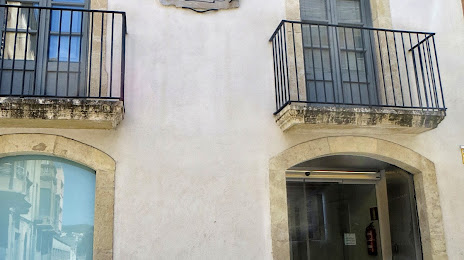
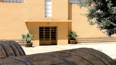
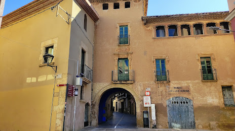
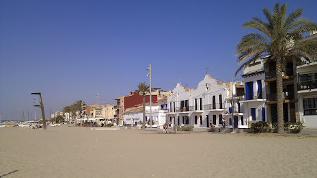
Attractions


Distance to the capital
Distance to the capital (Madrid) is about — 450 km.