
 Mancha Real
Bergara
Arcos
San Isidro
Labiano
Getaria
El Vendrell
Carriches
Berango
Cervantes
Agullent
Sant Antoni de Benaixeve
Puerto Real
Mondoñedo
Bergondo
Culleredo
Colloto
Montferrer
Tarrés
Mancha Real
Bergara
Arcos
San Isidro
Labiano
Getaria
El Vendrell
Carriches
Berango
Cervantes
Agullent
Sant Antoni de Benaixeve
Puerto Real
Mondoñedo
Bergondo
Culleredo
Colloto
Montferrer
Tarrés
Huesca on the map, Spain
Where is located Huesca
Exact location — Huesca, Huesca, Aragon, Spain, marked on the map with a red marker.
Coordinates
Huesca, Spain coordinates in decimal format: latitude — 42.131845, longitude — -0.4078058. When converted to degrees, minutes, seconds Huesca has the following coordinates: 42°7′54.64 north latitude and -0°24′28.1 east longitude.
Population
Huesca, Huesca, Aragon, Spain, according to our data the population is — 47,919 residents, which is about 0.1% of the total population of the country (Spain).
Comparison of the population on the graph:
Exact time
Time zone for this location Huesca — UTC +2 Europe/Madrid. Exact time — thursday, 5 may 2024 year, 21 h. 46 minutes.
Sunrise and sunset
Huesca, sunrise and sunset data for a date — thursday 16.05.2024.
| Sunrise | Sunset | Day (duration) |
|---|---|---|
| 06:42 -1 minute | 21:13 +1 minute | 14 h. 30 minutes. +2 minutes |
You can control the scale of the map using the auxiliary tools to find out exactly where it is located Huesca. When you change the scale of the map, the width of the ruler also changes (in kilometers and miles).
Nearby cities
The largest cities that are located nearby:
- Zaragoza — 67 km
- Lleida — 102 km
- Pamplona — 125 km
- Logroño — 170 km
- Tarragona — 177 km
- San Sebastián — 182 km
- Vitoria-Gasteiz — 201 km
- Terrassa — 210 km
- Sabadell — 218 km
- Toulouse
 (France) — 220 km
 - L'Hospitalet de Llobregat — 226 km
- Santa Coloma de Gramenet — 230 km
- Badalona — 233 km
- Bilbao — 239 km
- Mataró — 245 km
- Burgos — 270 km
- Perpignan (France) — 275 km
- Valencia — 294 km
- Bordeaux (France) — 299 km
Distance to neighboring capitals:
- Andorra la Vella
 (Andorra) — 164 km
 - Paris (France) — 778 km
- Paris (France) — 778 km
- Lisbon
 (Portugal) — 830 km
 - Rabat
 (Morocco) — 1068 km
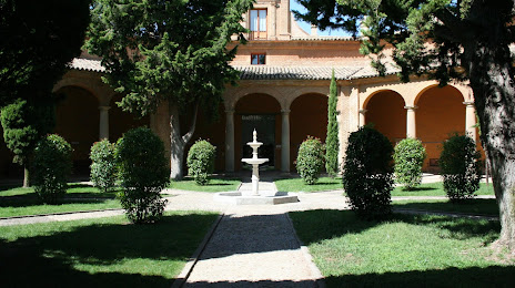
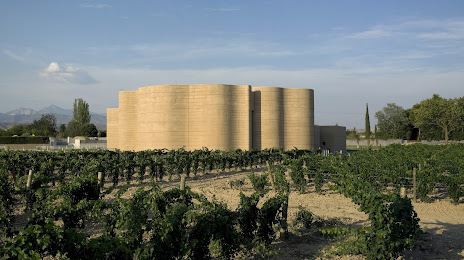
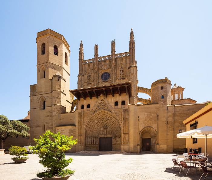
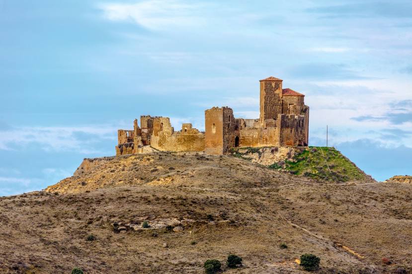
Attractions


Distance to the capital
Distance to the capital (Madrid) is about — 335 km.