
 Franco
Motril
Huesca
Torrent
Bellver
Bañón
Armenteros
Granja de Torrehermosa
Premià de Mar
Yecla DO
Azpeitia
Guadiana
Mutilva Alta
Basauri
Alhambra
El Prat de Llobregat
Rueda
Salceda de Caselas
Tudela
Franco
Motril
Huesca
Torrent
Bellver
Bañón
Armenteros
Granja de Torrehermosa
Premià de Mar
Yecla DO
Azpeitia
Guadiana
Mutilva Alta
Basauri
Alhambra
El Prat de Llobregat
Rueda
Salceda de Caselas
Tudela
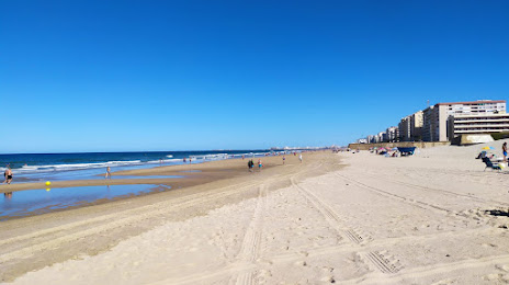
Puerto Real on the map, Spain
Where is located Puerto Real
Exact location — Puerto Real, Cádiz, Andalucía, Spain, marked on the map with a red marker.
Coordinates
Puerto Real, Spain coordinates in decimal format: latitude — 36.5316485, longitude — -6.1831947. When converted to degrees, minutes, seconds Puerto Real has the following coordinates: 36°31′53.93 north latitude and -6°10′59.5 east longitude.
Population
Puerto Real, Cádiz, Andalucía, Spain, according to our data the population is — 36,946 residents, which is about 0.1% of the total population of the country (Spain).
Comparison of the population on the graph:
Exact time
Time zone for this location Puerto Real — UTC +2 Europe/Madrid. Exact time — wednesday, 5 may 2024 year, 05 h. 53 minutes.
Sunrise and sunset
Puerto Real, sunrise and sunset data for a date — wednesday 15.05.2024.
| Sunrise | Sunset | Day (duration) |
|---|---|---|
| 07:20 -1 minute | 21:21 -0 minutes | 14 h. 0 minutes. +1 minute |
You can control the scale of the map using the auxiliary tools to find out exactly where it is located Puerto Real. When you change the scale of the map, the width of the ruler also changes (in kilometers and miles).
Nearby cities
The largest cities that are located nearby:
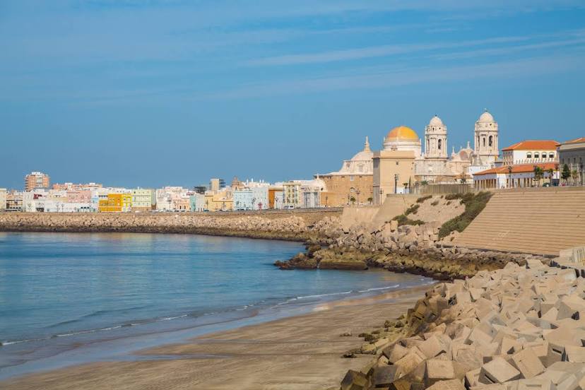
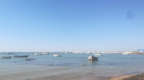
- Cádiz — 9 km
- Jerez — 18 km
- Algeciras — 78 km
- Dos Hermanas — 87 km
- Tangier
 (Morocco) — 91 km
 - Huelva — 105 km
- Marbella — 116 km
- Tetouan (Morocco) — 130 km
- Málaga — 152 km
- Córdoba — 194 km
- Granada — 239 km
- Jaén — 251 km
- Kenitra (Morocco) — 255 km
- Taounate (Morocco) — 262 km
- Badajoz — 268 km
- Sale (Morocco) — 281 km
- Temara (Morocco) — 295 km
- Meknes (Morocco) — 297 km
- Khemisset (Morocco) — 300 km
Distance to neighboring capitals:
- Rabat (Morocco) — 291 km
- Lisbon
 (Portugal) — 357 km
 - Andorra la Vella
 (Andorra) — 937 km
 - Paris
 (France) — 1536 km
 - Paris (France) — 1536 km
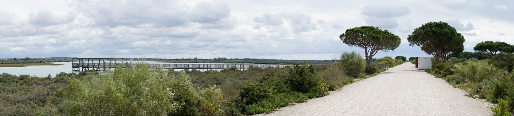
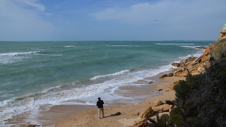
Attractions


Distance to the capital
Distance to the capital (Madrid) is about — 483 km.