
 Puerto Real
Sant Antoni de Benaixeve
Agullent
Cervantes
San José del Valle
Icod de los Vinos
Garai
Muriedas
Santillana del Mar
Torrevieja
Dos Hermanas
Pilar de la Horadada
Barrio de Muñó
Matas
Eibar
Carrión
Velasco
Constantí
Santa Lucía de Tirajana
Puerto Real
Sant Antoni de Benaixeve
Agullent
Cervantes
San José del Valle
Icod de los Vinos
Garai
Muriedas
Santillana del Mar
Torrevieja
Dos Hermanas
Pilar de la Horadada
Barrio de Muñó
Matas
Eibar
Carrión
Velasco
Constantí
Santa Lucía de Tirajana
Azpeitia on the map, Spain
Where is located Azpeitia
Exact location — Azpeitia, Gipuzkoa, Euskadi, Spain, marked on the map with a red marker.
Coordinates
Azpeitia, Spain coordinates in decimal format: latitude — 43.1825979, longitude — -2.2667322. When converted to degrees, minutes, seconds Azpeitia has the following coordinates: 43°10′57.35 north latitude and -2°16′0.24 east longitude.
Population
Azpeitia, Gipuzkoa, Euskadi, Spain, according to our data the population is — 13,854 residents, which is about 0% of the total population of the country (Spain).
Comparison of the population on the graph:
Exact time
Time zone for this location Azpeitia — UTC +2 Europe/Madrid. Exact time — sunday, 5 may 2024 year, 16 h. 34 minutes.
Sunrise and sunset
Azpeitia, sunrise and sunset data for a date — sunday 12.05.2024.
| Sunrise | Sunset | Day (duration) |
|---|---|---|
| 06:51 -1 minute | 21:19 +1 minute | 14 h. 30 minutes. +2 minutes |
You can control the scale of the map using the auxiliary tools to find out exactly where it is located Azpeitia. When you change the scale of the map, the width of the ruler also changes (in kilometers and miles).
Nearby cities
The largest cities that are located nearby:
- San Sebastián — 27 km
- Vitoria-Gasteiz — 49 km
- Bilbao — 55 km
- Pamplona — 65 km
- Logroño — 81 km
- Santander — 128 km
- Burgos — 149 km
- Zaragoza — 204 km
- Bordeaux
 (France) — 226 km
 - Valladolid — 264 km
- Gijón — 275 km
- León — 276 km
- Oviedo — 289 km
- Lleida — 295 km
- Toulouse (France) — 301 km
- Alcala de Henares — 313 km
- Alcobendas — 314 km
- Torrejón de Ardoz — 318 km
- Leganés — 340 km
Distance to neighboring capitals:
- Andorra la Vella
 (Andorra) — 318 km
 - Paris (France) — 725 km
- Paris (France) — 725 km
- Lisbon
 (Portugal) — 761 km
 - Rabat
 (Morocco) — 1099 km
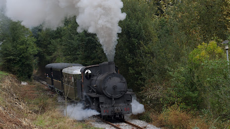
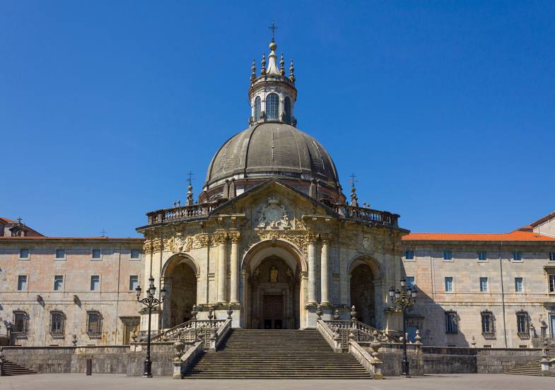
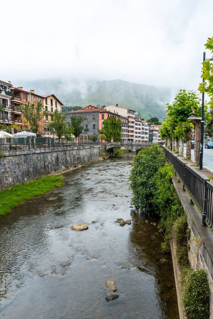
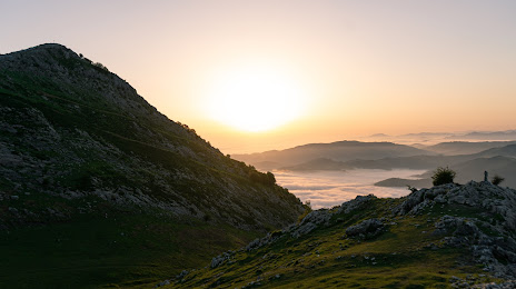
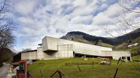
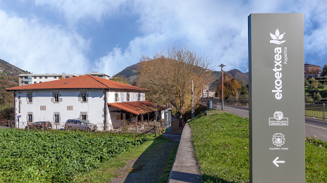
Attractions
Distance to the capital
Distance to the capital (Madrid) is about — 330 km.