
 Alhambra
Basauri
Mutilva Alta
Guadiana
Azpeitia
Yecla DO
Isla Cristina
Miranda de Ebro
Puertas
Adeje
Moratalla
Ripollet
Llamas
Torres
Arbúcies
Alboraia
Alcázar de San Juan
Erandio
Arrecife
Alhambra
Basauri
Mutilva Alta
Guadiana
Azpeitia
Yecla DO
Isla Cristina
Miranda de Ebro
Puertas
Adeje
Moratalla
Ripollet
Llamas
Torres
Arbúcies
Alboraia
Alcázar de San Juan
Erandio
Arrecife
Eibar on the map, Spain
Where is located Eibar
Exact location — Eibar, Gipuzkoa, Euskadi, Spain, marked on the map with a red marker.
Coordinates
Eibar, Spain coordinates in decimal format: latitude — 43.1832096, longitude — -2.4715422. When converted to degrees, minutes, seconds Eibar has the following coordinates: 43°10′59.55 north latitude and -2°28′17.55 east longitude.
Population
Eibar, Gipuzkoa, Euskadi, Spain, according to our data the population is — 28,520 residents, which is about 0.1% of the total population of the country (Spain).
Comparison of the population on the graph:
Exact time
Time zone for this location Eibar — UTC +2 Europe/Madrid. Exact time — thursday, 5 may 2024 year, 07 h. 46 minutes.
Sunrise and sunset
Eibar, sunrise and sunset data for a date — thursday 9.05.2024.
| Sunrise | Sunset | Day (duration) |
|---|---|---|
| 06:55 -1 minute | 21:17 +2 minutes | 14 h. 24 minutes. +3 minutes |
You can control the scale of the map using the auxiliary tools to find out exactly where it is located Eibar. When you change the scale of the map, the width of the ruler also changes (in kilometers and miles).
Nearby cities
The largest cities that are located nearby:
- Bilbao — 38 km
- Vitoria-Gasteiz — 40 km
- San Sebastián — 42 km
- Pamplona — 79 km
- Logroño — 80 km
- Santander — 112 km
- Burgos — 137 km
- Zaragoza — 214 km
- Bordeaux
 (France) — 236 km
 - Valladolid — 252 km
- Gijón — 259 km
- León — 260 km
- Oviedo — 272 km
- Alcala de Henares — 308 km
- Alcobendas — 308 km
- Lleida — 309 km
- Torrejón de Ardoz — 313 km
- Toulouse (France) — 317 km
- Leganés — 334 km
Distance to neighboring capitals:
- Andorra la Vella
 (Andorra) — 334 km
 - Paris (France) — 732 km
- Paris (France) — 732 km
- Lisbon
 (Portugal) — 748 km
 - Rabat
 (Morocco) — 1093 km
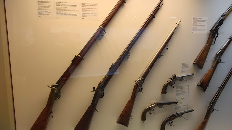
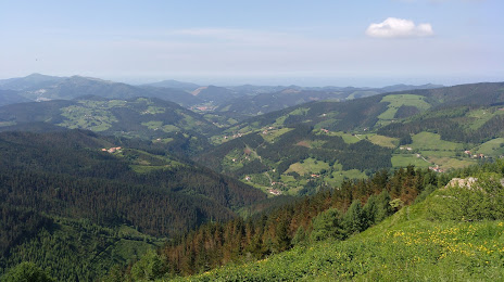
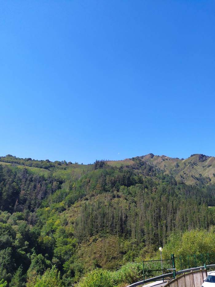
Attractions
Distance to the capital
Distance to the capital (Madrid) is about — 324 km.