
 Carrión
Eibar
Matas
Barrio de Muñó
Pilar de la Horadada
Dos Hermanas
Torrevieja
Lugo
Villanueva
Buñol
Tineo
Pinillos
Santa Bàrbara
Pontevedra
Laguna de Duero
San Telmo
Mutilva Baja
Lasarte-Oria
Pinos Puente
Carrión
Eibar
Matas
Barrio de Muñó
Pilar de la Horadada
Dos Hermanas
Torrevieja
Lugo
Villanueva
Buñol
Tineo
Pinillos
Santa Bàrbara
Pontevedra
Laguna de Duero
San Telmo
Mutilva Baja
Lasarte-Oria
Pinos Puente
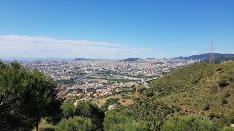
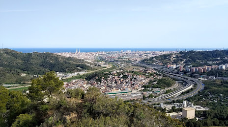
Ripollet on the map, Spain
Where is located Ripollet
Exact location — Ripollet, Barcelona, Catalunya, Spain, marked on the map with a red marker.
Coordinates
Ripollet, Spain coordinates in decimal format: latitude — 41.49845, longitude — 2.1569325. When converted to degrees, minutes, seconds Ripollet has the following coordinates: 41°29′54.42 north latitude and 2°9′24.96 east longitude.
Population
Ripollet, Barcelona, Catalunya, Spain, according to our data the population is — 32,670 residents, which is about 0.1% of the total population of the country (Spain).
Comparison of the population on the graph:
Exact time
Time zone for this location Ripollet — UTC +2 Europe/Madrid. Exact time — monday, 4 april 2024 year, 16 h. 02 minutes.
Sunrise and sunset
Ripollet, sunrise and sunset data for a date — monday 29.04.2024.
| Sunrise | Sunset | Day (duration) |
|---|---|---|
| 06:53 -1 minute | 20:43 +1 minute | 13 h. 48 minutes. +2 minutes |
You can control the scale of the map using the auxiliary tools to find out exactly where it is located Ripollet. When you change the scale of the map, the width of the ruler also changes (in kilometers and miles).
Nearby cities
The largest cities that are located nearby:
- Sabadell — 7 km
- Santa Coloma de Gramenet — 7 km
- Badalona — 9 km
- Terrassa — 14 km
- L'Hospitalet de Llobregat — 15 km
- Mataró — 24 km
- Tarragona — 87 km
- Lleida — 128 km
- Perpignan
 (France) — 145 km
 - Palma — 217 km
- Toulouse (France) — 240 km
- Zaragoza — 252 km
- Montpellier (France) — 271 km
- Valencia — 312 km
- Nimes (France) — 313 km
- Marseille (France) — 326 km
- Pamplona — 341 km
- Aix-en-Provence (France) — 346 km
- Toulon (France) — 353 km
Distance to neighboring capitals:
- Andorra la Vella
 (Andorra) — 124 km
 - Paris (France) — 819 km
- Paris (France) — 819 km
- Lisbon
 (Portugal) — 1008 km
 - Rabat
 (Morocco) — 1151 km
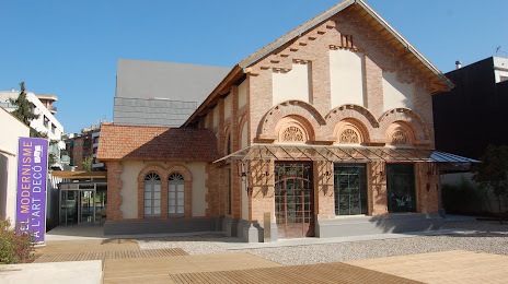
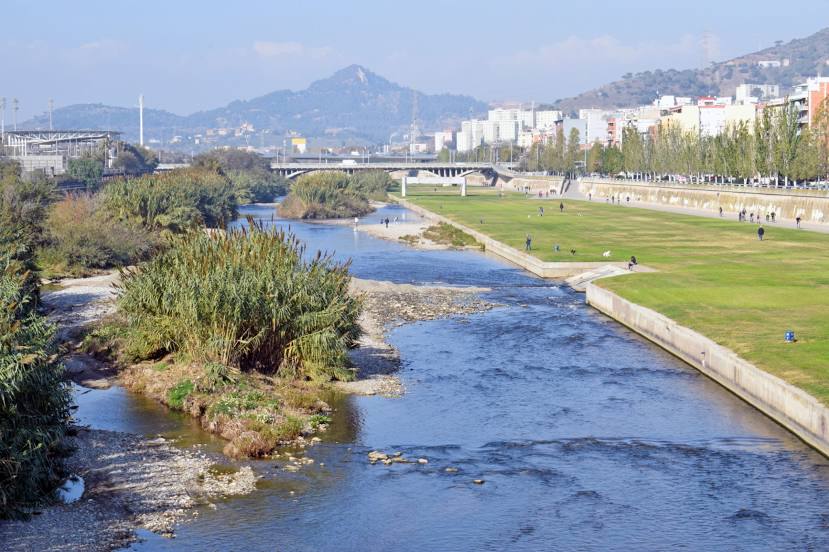
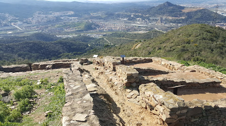
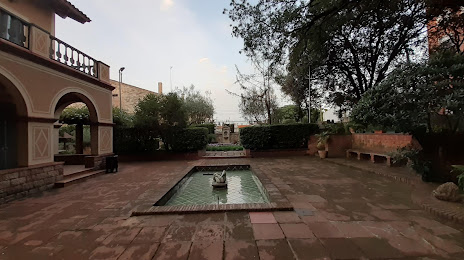
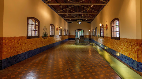
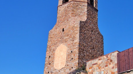
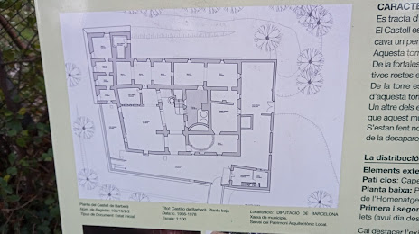
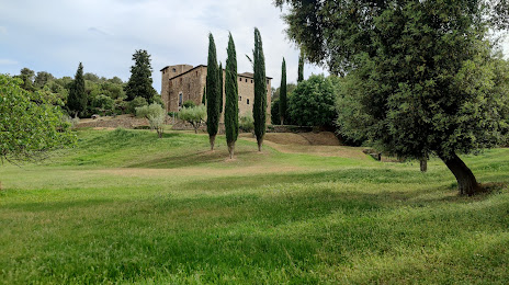
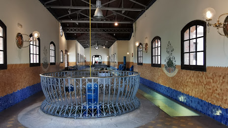
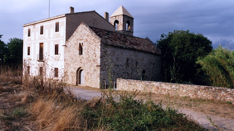
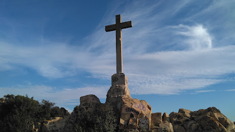
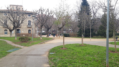
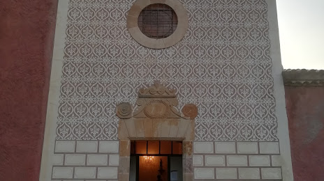
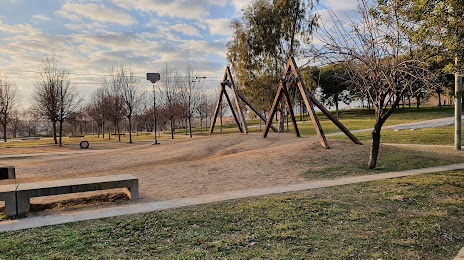
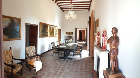
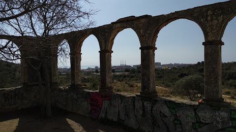
Attractions


Distance to the capital
Distance to the capital (Madrid) is about — 507 km.