
 Arbúcies
Torres
Llamas
Ripollet
Moratalla
Adeje
Huarte
Agolada
Benidorm
Calles
Castro del Río
Trujillo
Aviles
Cortes de Pallás
Florida de Liébana
Ourense
Valdecilla
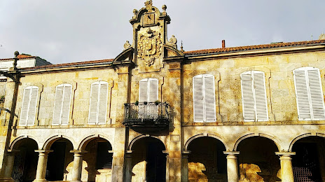
Palacio
Martorell
Arbúcies
Torres
Llamas
Ripollet
Moratalla
Adeje
Huarte
Agolada
Benidorm
Calles
Castro del Río
Trujillo
Aviles
Cortes de Pallás
Florida de Liébana
Ourense
Valdecilla
Palacio
Martorell
Pontevedra on the map, Spain
Where is located Pontevedra
Exact location — Pontevedra, Pontevedra, Galicia, Spain, marked on the map with a red marker.
Coordinates
Pontevedra, Spain coordinates in decimal format: latitude — 42.4298846, longitude — -8.6446202. When converted to degrees, minutes, seconds Pontevedra has the following coordinates: 42°25′47.58 north latitude and -8°38′40.63 east longitude.
Population
Pontevedra, Pontevedra, Galicia, Spain, according to our data the population is — 77,595 residents, which is about 0.2% of the total population of the country (Spain).
Comparison of the population on the graph:
Exact time
Time zone for this location Pontevedra — UTC +2 Europe/Madrid. Exact time — saturday, 5 may 2024 year, 13 h. 11 minutes.
Sunrise and sunset
Pontevedra, sunrise and sunset data for a date — saturday 4.05.2024.
| Sunrise | Sunset | Day (duration) |
|---|---|---|
| 07:28 -1 minute | 21:34 +1 minute | 14 h. 6 minutes. +2 minutes |
You can control the scale of the map using the auxiliary tools to find out exactly where it is located Pontevedra. When you change the scale of the map, the width of the ruler also changes (in kilometers and miles).
Nearby cities
The largest cities that are located nearby:
- Vigo — 22 km
- Ourense — 65 km
- Braga
 (Portugal) — 99 km
 - A Coruña — 105 km
- Porto (Portugal) — 141 km
- Coimbra (Portugal) — 247 km
- Oviedo — 247 km
- León — 251 km
- Gijón — 268 km
- Salamanca — 297 km
- Valladolid — 335 km
- Santander — 404 km
- Burgos — 404 km
- Amadora (Portugal) — 409 km
- Queluz (Portugal) — 409 km
- Lisbon (Portugal) — 412 km
- Badajoz — 418 km
- Móstoles — 465 km
- Alcorcón — 467 km
Distance to neighboring capitals:
- Lisbon (Portugal) — 414 km
- Andorra la Vella
 (Andorra) — 834 km
 - Rabat
 (Morocco) — 954 km
 - Paris
 (France) — 1113 km
 - Paris (France) — 1113 km
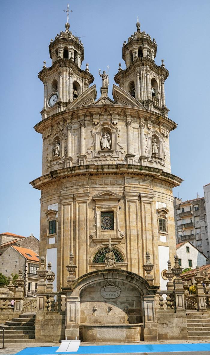
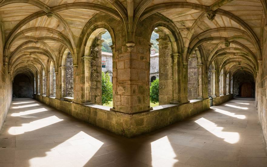
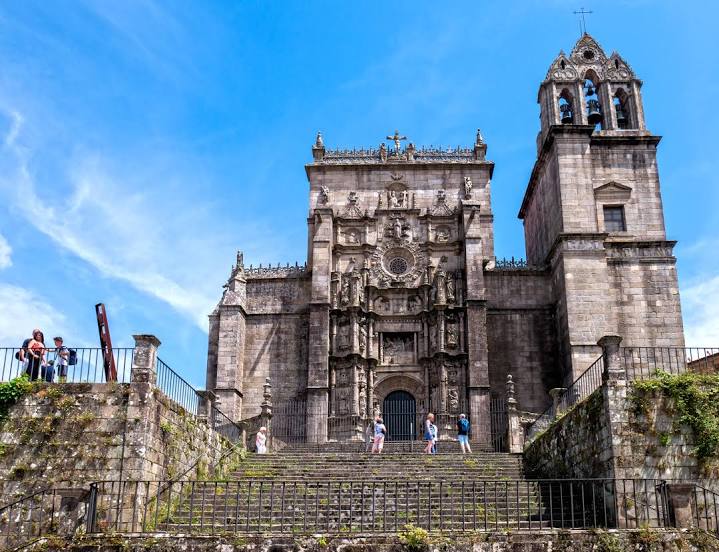
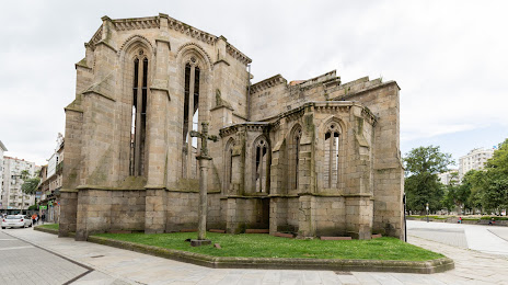
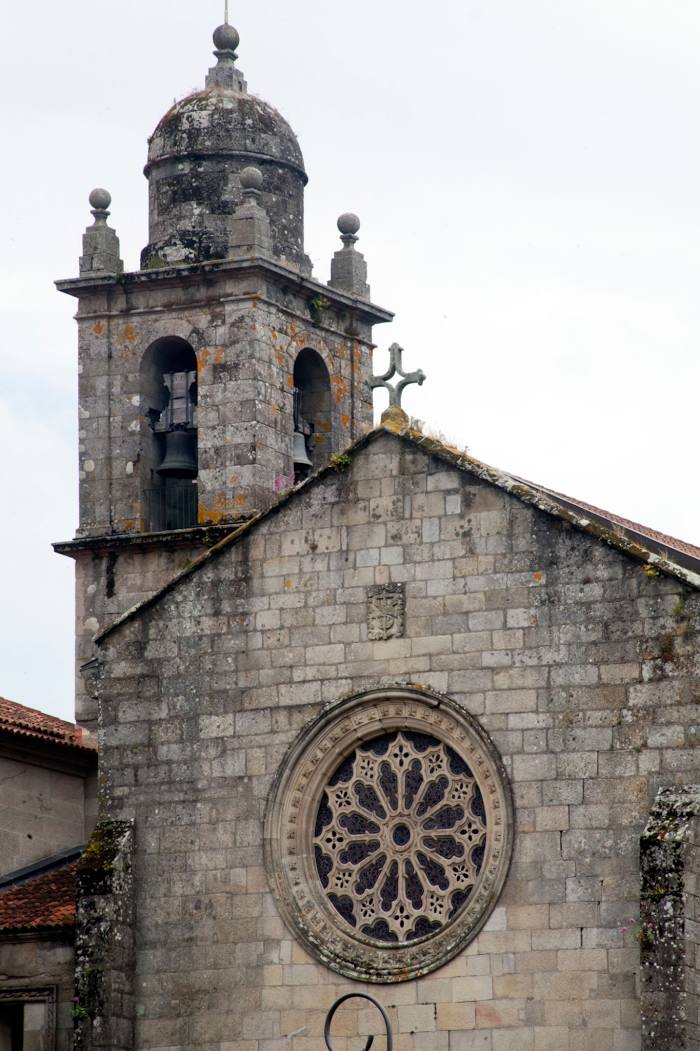
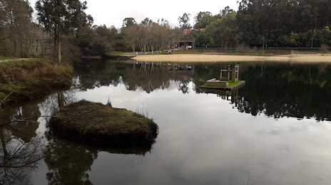
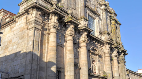
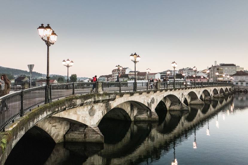
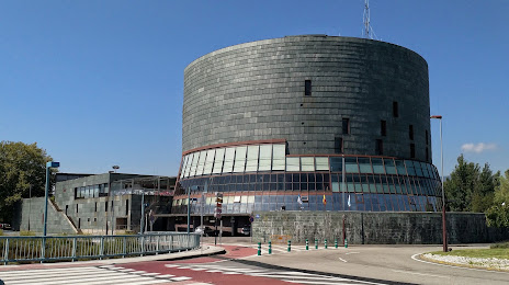
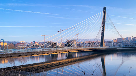
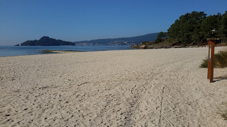
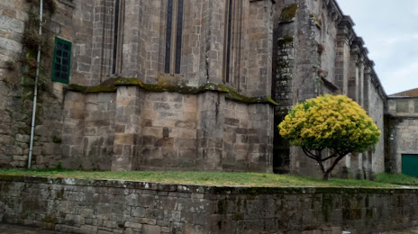
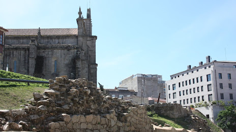
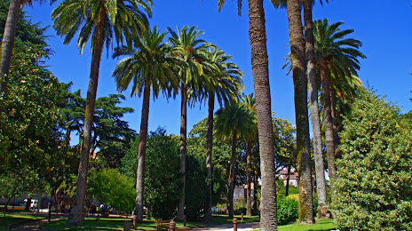
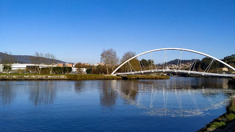
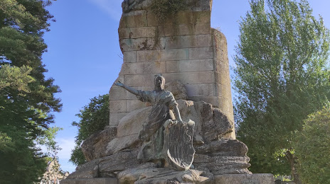
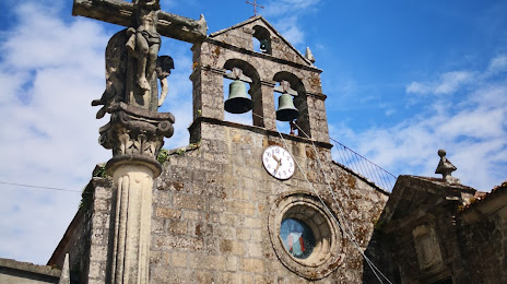
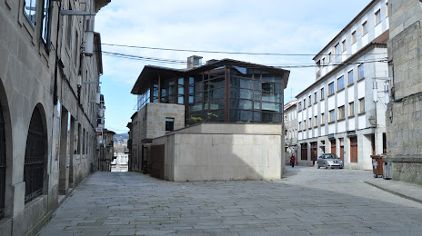
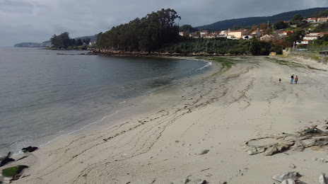
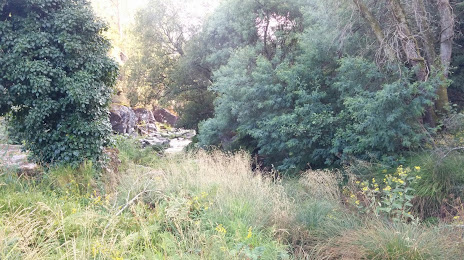
Attractions


Distance to the capital
Distance to the capital (Madrid) is about — 469 km.