
 San Telmo
Laguna de Duero
Pontevedra
Santa Bàrbara
Pinillos
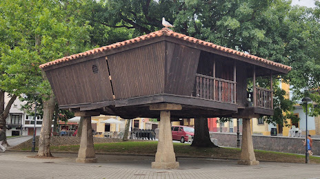
Tineo
Buñol
Torre del Campo
Sallent de Gállego
Miera
Elorrio
Campillo de Arenas
Onda
Olaz
Villabona
Roque
Tejada
Salvador de Zapardiel
Los Corrales de Buelna
San Telmo
Laguna de Duero
Pontevedra
Santa Bàrbara
Pinillos
Tineo
Buñol
Torre del Campo
Sallent de Gállego
Miera
Elorrio
Campillo de Arenas
Onda
Olaz
Villabona
Roque
Tejada
Salvador de Zapardiel
Los Corrales de Buelna
Aviles on the map, Spain
Where is located Aviles
Exact location — Aviles, Asturias, Asturias, Spain, marked on the map with a red marker.
Coordinates
Aviles, Spain coordinates in decimal format: latitude — 43.5579523, longitude — -5.9246653. When converted to degrees, minutes, seconds Aviles has the following coordinates: 43°33′28.63 north latitude and -5°55′28.8 east longitude.
Population
Aviles, Asturias, Asturias, Spain, according to our data the population is — 81,984 residents, which is about 0.2% of the total population of the country (Spain).
Comparison of the population on the graph:
Exact time
Time zone for this location Aviles — UTC +2 Europe/Madrid. Exact time — monday, 4 april 2024 year, 10 h. 36 minutes.
Sunrise and sunset
Aviles, sunrise and sunset data for a date — monday 29.04.2024.
| Sunrise | Sunset | Day (duration) |
|---|---|---|
| 07:21 -2 minutes | 21:20 +1 minute | 14 h. 0 minutes. +3 minutes |
You can control the scale of the map using the auxiliary tools to find out exactly where it is located Aviles. When you change the scale of the map, the width of the ruler also changes (in kilometers and miles).
Nearby cities
The largest cities that are located nearby:
- Gijón — 21 km
- Oviedo — 23 km
- León — 110 km
- Santander — 170 km
- A Coruña — 201 km
- Ourense — 208 km
- Burgos — 226 km
- Valladolid — 233 km
- Bilbao — 243 km
- Vigo — 271 km
- Vitoria-Gasteiz — 274 km
- Salamanca — 287 km
- Braga
 (Portugal) — 304 km
 - Logroño — 309 km
- San Sebastián — 318 km
- Porto (Portugal) — 348 km
- Pamplona — 357 km
- Alcobendas — 385 km
- Alcorcón — 397 km
Distance to neighboring capitals:
- Lisbon (Portugal) — 601 km
- Andorra la Vella
 (Andorra) — 616 km
 - Paris
 (France) — 867 km
 - Paris (France) — 867 km
- Rabat
 (Morocco) — 1069 km
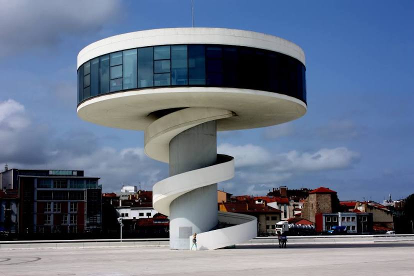
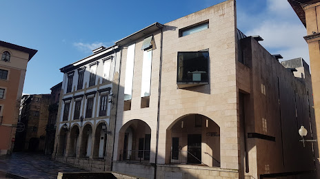
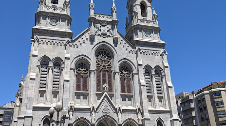
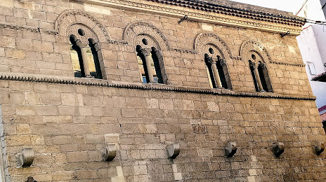
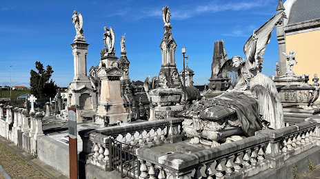
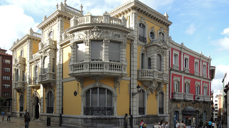
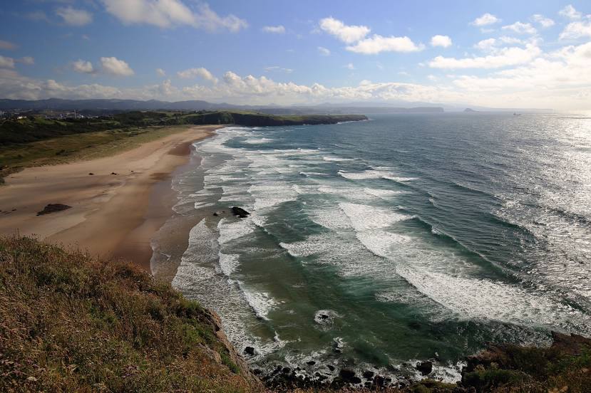
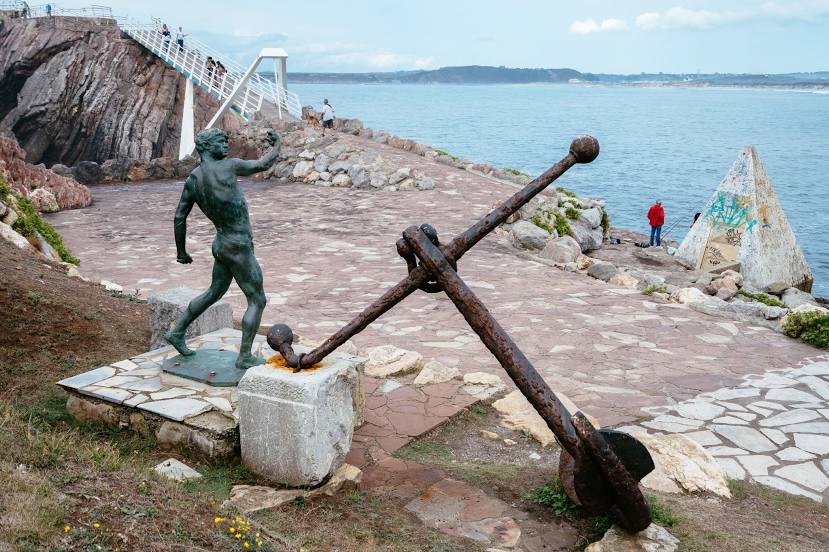
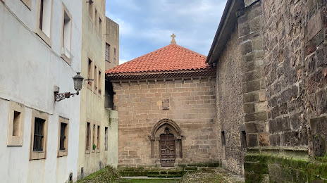
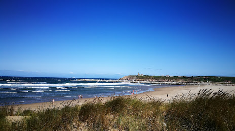
Attractions

Distance to the capital
Distance to the capital (Madrid) is about — 395 km.