
 Alboraia
Arbúcies
Torres
Llamas
Ripollet
Moratalla
Adeje
Huarte
Agolada
Castro del Río
Trujillo
Aviles
Cortes de Pallás
Florida de Liébana
Ourense
Valdecilla
Palacio
Martorell
Alcántara
Alboraia
Arbúcies
Torres
Llamas
Ripollet
Moratalla
Adeje
Huarte
Agolada
Castro del Río
Trujillo
Aviles
Cortes de Pallás
Florida de Liébana
Ourense
Valdecilla
Palacio
Martorell
Alcántara
Laguna de Duero on the map, Spain
Where is located Laguna de Duero
Exact location — Laguna de Duero, Valladolid, Castilla y León, Spain, marked on the map with a red marker.
Coordinates
Laguna de Duero, Spain coordinates in decimal format: latitude — 41.5823975, longitude — -4.7215266. When converted to degrees, minutes, seconds Laguna de Duero has the following coordinates: 41°34′56.63 north latitude and -4°43′17.5 east longitude.
Population
Laguna de Duero, Valladolid, Castilla y León, Spain, according to our data the population is — 19,362 residents, which is about 0% of the total population of the country (Spain).
Comparison of the population on the graph:
Exact time
Time zone for this location Laguna de Duero — UTC +2 Europe/Madrid. Exact time — sunday, 4 april 2024 year, 14 h. 01 minute.
Sunrise and sunset
Laguna de Duero, sunrise and sunset data for a date — sunday 28.04.2024.
| Sunrise | Sunset | Day (duration) |
|---|---|---|
| 07:22 -1 minute | 21:10 +1 minute | 13 h. 48 minutes. +2 minutes |
You can control the scale of the map using the auxiliary tools to find out exactly where it is located Laguna de Duero. When you change the scale of the map, the width of the ruler also changes (in kilometers and miles).
Nearby cities
The largest cities that are located nearby:
- Valladolid — 8 km
- Salamanca — 104 km
- Burgos — 119 km
- León — 132 km
- Alcobendas — 147 km
- Alcorcón — 156 km
- Móstoles — 157 km
- Leganés — 160 km
- Fuenlabrada — 162 km
- Torrejón de Ardoz — 163 km
- Getafe — 164 km
- Alcala de Henares — 167 km
- Logroño — 210 km
- Oviedo — 217 km
- Vitoria-Gasteiz — 217 km
- Santander — 220 km
- Gijón — 228 km
- Bilbao — 235 km
- Ourense — 270 km
Distance to neighboring capitals:
- Lisbon
 (Portugal) — 492 km
 - Andorra la Vella
 (Andorra) — 526 km
 - Rabat
 (Morocco) — 867 km
 - Paris
 (France) — 980 km
 - Paris (France) — 980 km
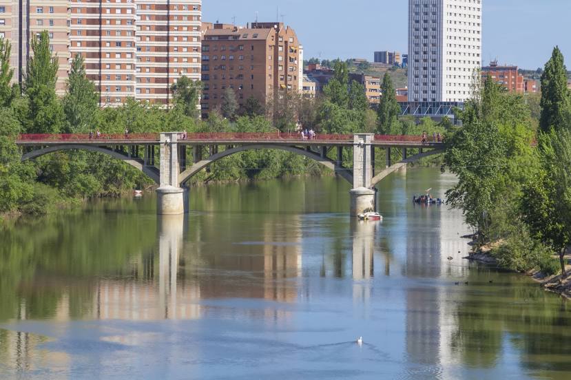
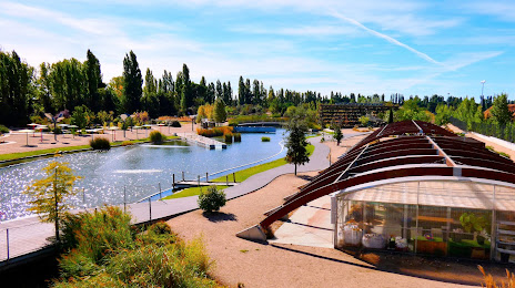
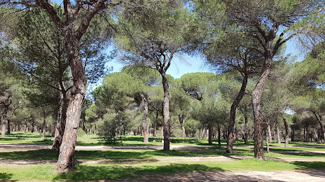
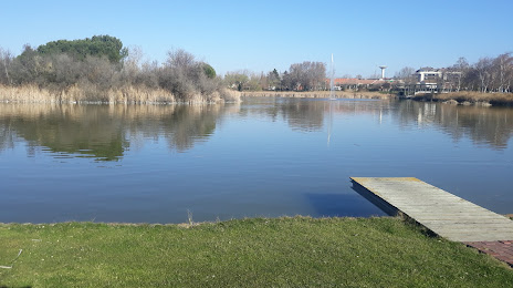
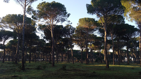
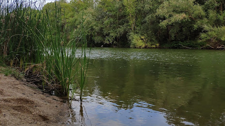
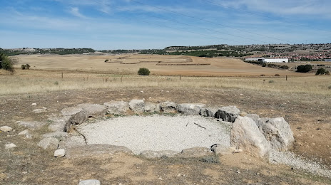
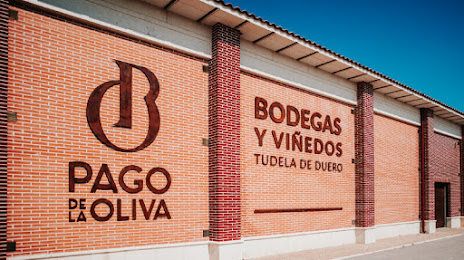
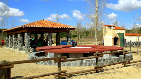
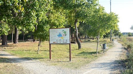
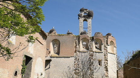
Attractions
Distance to the capital
Distance to the capital (Madrid) is about — 155 km.