
 Pinos Puente
Lasarte-Oria
Mutilva Baja
San Telmo
Laguna de Duero
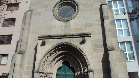
Pontevedra
Santa Bàrbara
Pinillos
Tineo
Onda
Olaz
Villabona
Roque
Tejada
Salvador de Zapardiel
Los Corrales de Buelna
Pedreguer
Baena
Cartagena
Pinos Puente
Lasarte-Oria
Mutilva Baja
San Telmo
Laguna de Duero
Pontevedra
Santa Bàrbara
Pinillos
Tineo
Onda
Olaz
Villabona
Roque
Tejada
Salvador de Zapardiel
Los Corrales de Buelna
Pedreguer
Baena
Cartagena
Ourense on the map, Spain
Where is located Ourense
Exact location — Ourense, Province of Ourense, Galicia, Spain, marked on the map with a red marker.
Coordinates
Ourense, Spain coordinates in decimal format: latitude — 42.3357893, longitude — -7.863881. When converted to degrees, minutes, seconds Ourense has the following coordinates: 42°20′8.84 north latitude and -7°51′49.97 east longitude.
Population
Ourense, Province of Ourense, Galicia, Spain, according to our data the population is — 107,742 residents, which is about 0.2% of the total population of the country (Spain).
Comparison of the population on the graph:
Exact time
Time zone for this location Ourense — UTC +2 Europe/Madrid. Exact time — sunday, 4 april 2024 year, 20 h. 45 minutes.
Sunrise and sunset
Ourense, sunrise and sunset data for a date — sunday 28.04.2024.
| Sunrise | Sunset | Day (duration) |
|---|---|---|
| 07:33 -1 minute | 21:24 +1 minute | 13 h. 54 minutes. +2 minutes |
You can control the scale of the map using the auxiliary tools to find out exactly where it is located Ourense. When you change the scale of the map, the width of the ruler also changes (in kilometers and miles).
Nearby cities
The largest cities that are located nearby:
- Vigo — 71 km
- Braga
 (Portugal) — 99 km
 - A Coruña — 122 km
- Porto (Portugal) — 145 km
- León — 189 km
- Oviedo — 198 km
- Gijón — 221 km
- Salamanca — 238 km
- Coimbra (Portugal) — 240 km
- Valladolid — 270 km
- Burgos — 341 km
- Santander — 348 km
- Badajoz — 390 km
- Móstoles — 404 km
- Alcorcón — 405 km
- Alcobendas — 407 km
- Bilbao — 410 km
- Leganés — 410 km
- Fuenlabrada — 410 km
Distance to neighboring capitals:
- Lisbon (Portugal) — 416 km
- Andorra la Vella
 (Andorra) — 770 km
 - Rabat
 (Morocco) — 935 km
 - Paris
 (France) — 1074 km
 - Paris (France) — 1074 km
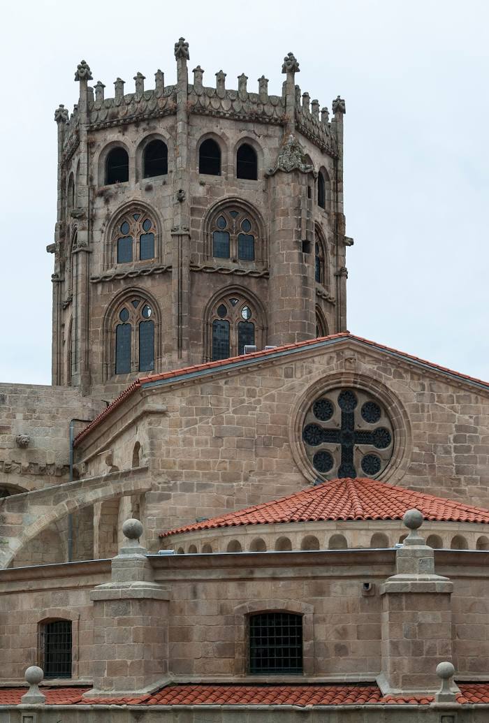
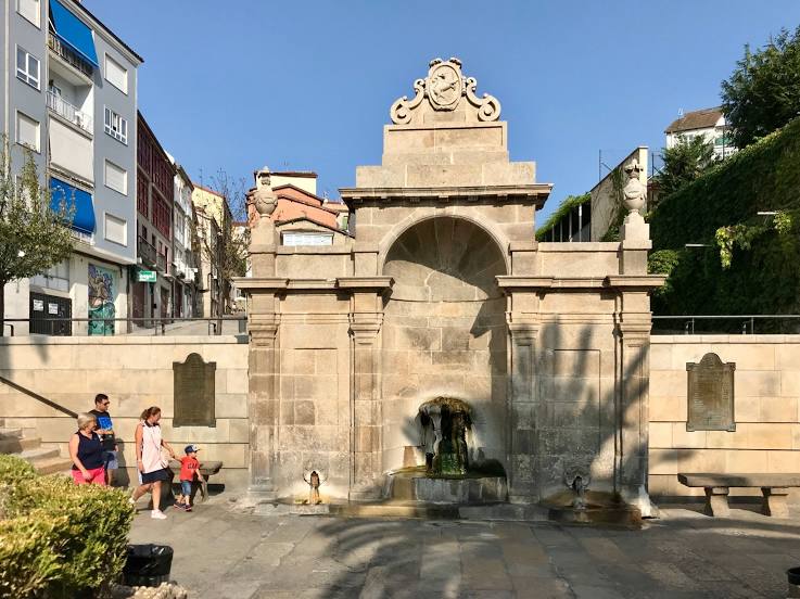
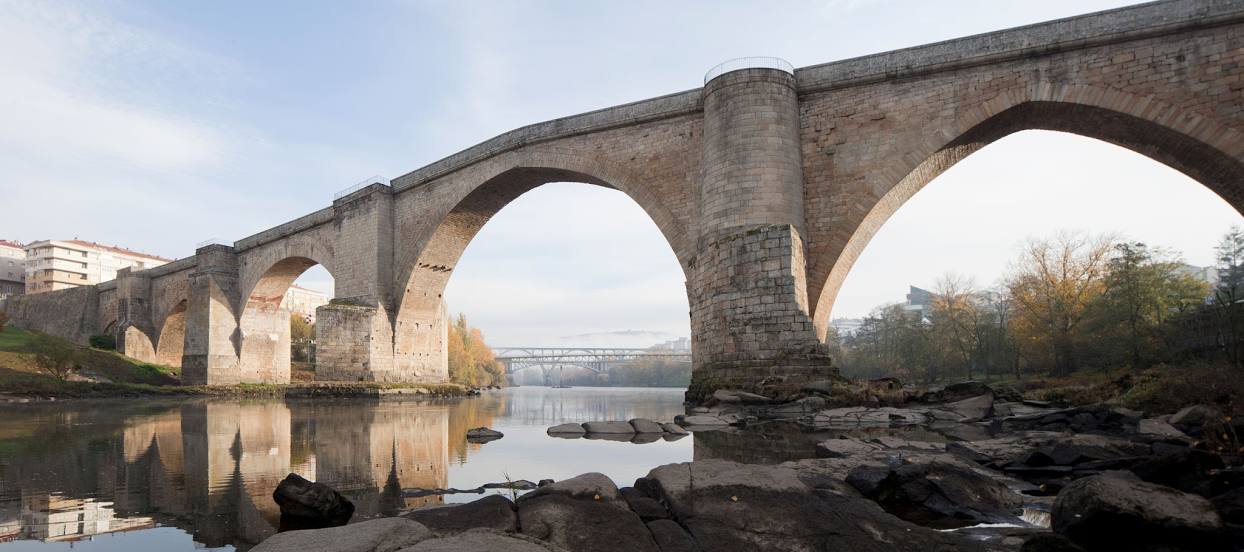
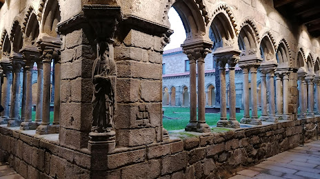
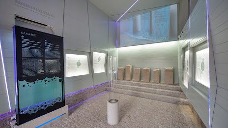
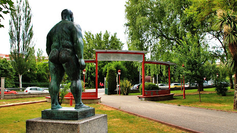
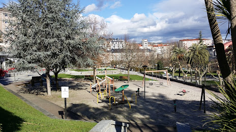
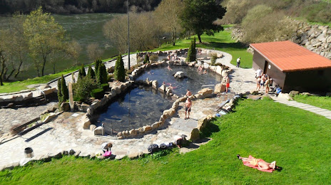
Attractions


Distance to the capital
Distance to the capital (Madrid) is about — 407 km.