
 Florida de Liébana
Cortes de Pallás
Aviles
Trujillo
Castro del Río
Calles
A Guarda
Manacor
Aranjuez
Oñati
Guadalaviar
A Pobra do Caramiñal
Cabrera de Mar
Brenes
La Orotava
Mollet del Vallès
Leganés
Lucainena de las Torres
Palacios del Sil
Florida de Liébana
Cortes de Pallás
Aviles
Trujillo
Castro del Río
Calles
A Guarda
Manacor
Aranjuez
Oñati
Guadalaviar
A Pobra do Caramiñal
Cabrera de Mar
Brenes
La Orotava
Mollet del Vallès
Leganés
Lucainena de las Torres
Palacios del Sil
Onda on the map, Spain
Where is located Onda
Exact location — Onda, Castellón, Comunidad Valenciana, Spain, marked on the map with a red marker.
Coordinates
Onda, Spain coordinates in decimal format: latitude — 39.96513, longitude — -0.2625949. When converted to degrees, minutes, seconds Onda has the following coordinates: 39°57′54.47 north latitude and -0°15′45.34 east longitude.
Population
Onda, Castellón, Comunidad Valenciana, Spain, according to our data the population is — 22,289 residents, which is about 0% of the total population of the country (Spain).
Comparison of the population on the graph:
Exact time
Time zone for this location Onda — UTC +2 Europe/Madrid. Exact time — sunday, 4 april 2024 year, 11 h. 05 minutes.
Sunrise and sunset
Onda, sunrise and sunset data for a date — sunday 28.04.2024.
| Sunrise | Sunset | Day (duration) |
|---|---|---|
| 07:07 -1 minute | 20:49 +1 minute | 13 h. 42 minutes. +2 minutes |
You can control the scale of the map using the auxiliary tools to find out exactly where it is located Onda. When you change the scale of the map, the width of the ruler also changes (in kilometers and miles).
Nearby cities
The largest cities that are located nearby:
- Valencia — 56 km
- Albacete — 174 km
- Tarragona — 179 km
- Zaragoza — 193 km
- Lleida — 197 km
- Murcia — 231 km
- L'Hospitalet de Llobregat — 251 km
- Palma — 252 km
- Terrassa — 258 km
- Santa Coloma de Gramenet — 262 km
- Sabadell — 263 km
- Badalona — 265 km
- Cartagena — 267 km
- Alcala de Henares — 267 km
- Torrejón de Ardoz — 276 km
- Mataró — 284 km
- Alcobendas — 291 km
- Getafe — 295 km
- Leganés — 298 km
Distance to neighboring capitals:
- Andorra la Vella
 (Andorra) — 320 km
 - Lisbon
 (Portugal) — 776 km
 - Rabat
 (Morocco) — 887 km
 - Paris
 (France) — 1010 km
 - Paris (France) — 1010 km
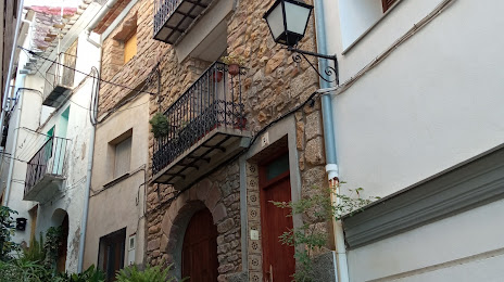
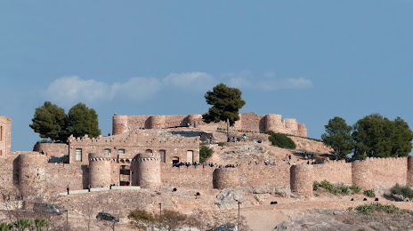
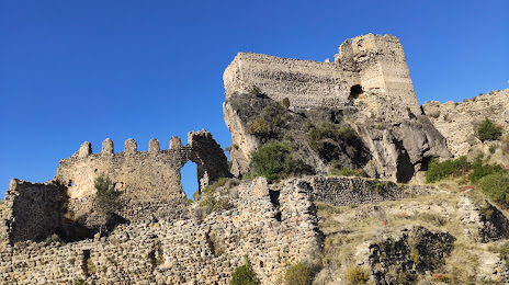
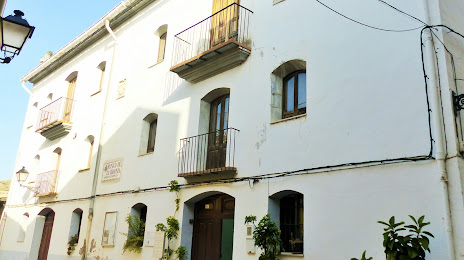
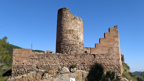
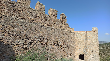
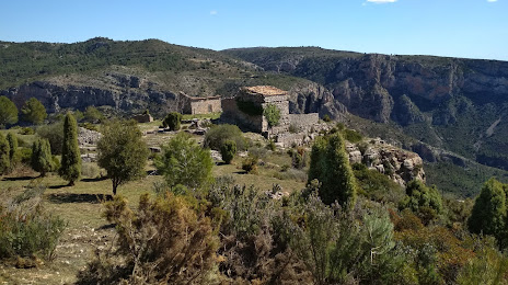
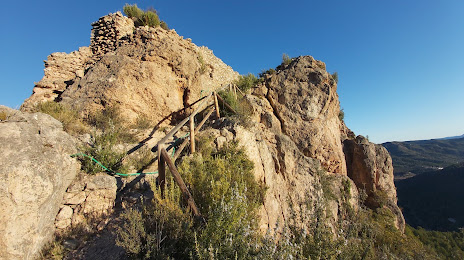
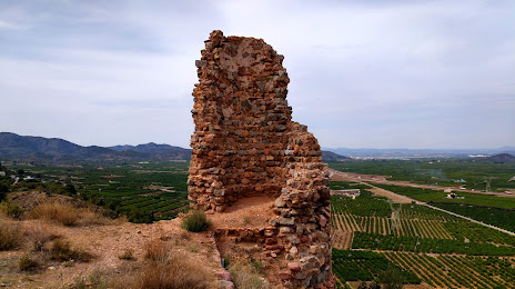
Attractions


Distance to the capital
Distance to the capital (Madrid) is about — 297 km.