
 Los Corrales de Buelna
Salvador de Zapardiel
Tejada
Roque
Villabona
Olaz
Onda
Campillo de Arenas
Elorrio
Villagarcía del Llano
Ibiza
Prades
Ribes de Freser
Cuevas del Almanzora
Jaén
Nueva
Bustillo del Páramo
Utrera
Roquetas de Mar
Los Corrales de Buelna
Salvador de Zapardiel
Tejada
Roque
Villabona
Olaz
Onda
Campillo de Arenas
Elorrio
Villagarcía del Llano
Ibiza
Prades
Ribes de Freser
Cuevas del Almanzora
Jaén
Nueva
Bustillo del Páramo
Utrera
Roquetas de Mar
Leganés on the map, Spain
Where is located Leganés
Exact location — Leganés, Madrid, Comunidad de Madrid, Spain, marked on the map with a red marker.
Coordinates
Leganés, Spain coordinates in decimal format: latitude — 40.3319506, longitude — -3.7686545. When converted to degrees, minutes, seconds Leganés has the following coordinates: 40°19′55.02 north latitude and -3°46′7.16 east longitude.
Population
Leganés, Madrid, Comunidad de Madrid, Spain, according to our data the population is — 192,000 residents, which is about 0.4% of the total population of the country (Spain).
Comparison of the population on the graph:
Exact time
Time zone for this location Leganés — UTC +2 Europe/Madrid. Exact time — monday, 5 may 2024 year, 03 h. 37 minutes.
Sunrise and sunset
Leganés, sunrise and sunset data for a date — monday 6.05.2024.
| Sunrise | Sunset | Day (duration) |
|---|---|---|
| 07:10 -2 minutes | 21:12 +1 minute | 14 h. 0 minutes. +3 minutes |
You can control the scale of the map using the auxiliary tools to find out exactly where it is located Leganés. When you change the scale of the map, the width of the ruler also changes (in kilometers and miles).
Nearby cities
The largest cities that are located nearby:
- Getafe — 4 km
- Alcorcón — 5 km
- Fuenlabrada — 5 km
- Móstoles — 8 km
- Alcobendas — 25 km
- Torrejón de Ardoz — 28 km
- Alcala de Henares — 38 km
- Valladolid — 166 km
- Salamanca — 173 km
- Albacete — 221 km
- Burgos — 223 km
- Logroño — 259 km
- Zaragoza — 279 km
- Jaén — 282 km
- Córdoba — 284 km
- León — 290 km
- Vitoria-Gasteiz — 293 km
- Valencia — 305 km
- Badajoz — 319 km
Distance to neighboring capitals:
- Lisbon
 (Portugal) — 494 km
 - Andorra la Vella
 (Andorra) — 503 km
 - Rabat
 (Morocco) — 758 km
 - Paris
 (France) — 1064 km
 - Paris (France) — 1064 km
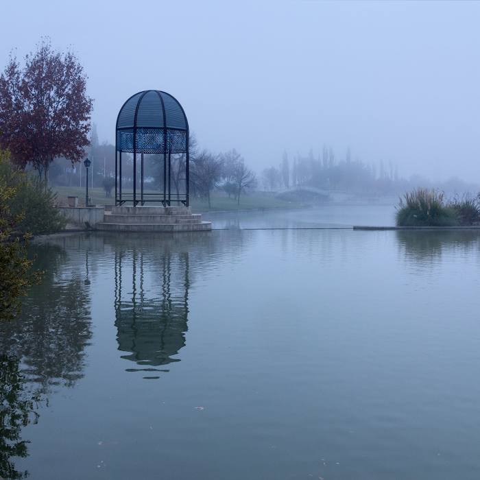
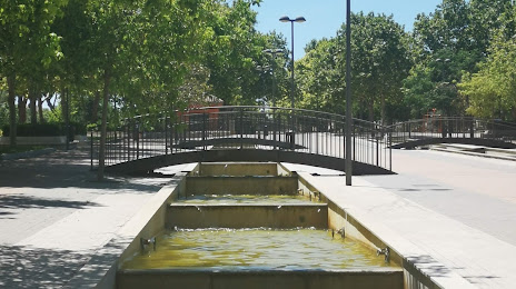
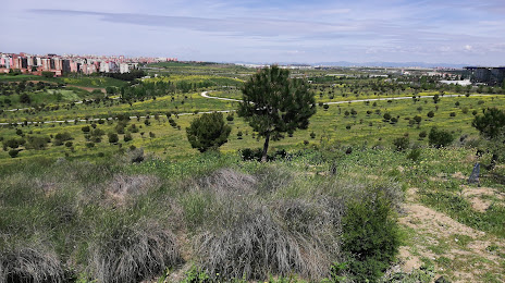
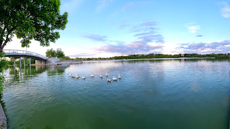
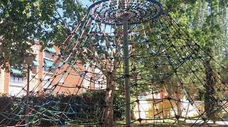
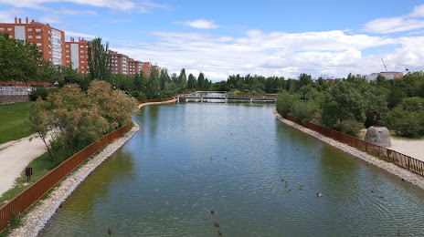
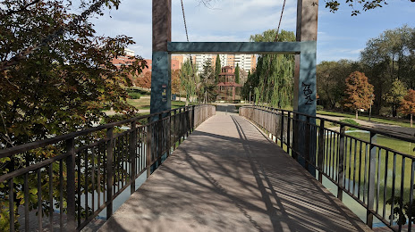
Attractions


Distance to the capital
Distance to the capital (Madrid) is about — 11 km.