
 Martínez
Palacios del Sil
Lucainena de las Torres
Leganés
Mollet del Vallès
La Orotava
Brenes
Cabrera de Mar
A Pobra do Caramiñal
Algeciras
Casares
Marratxí
Cuenca
Albacete
Guadalajara
Isla Mayor
Tajonar
Linares
Palafrugell
Martínez
Palacios del Sil
Lucainena de las Torres
Leganés
Mollet del Vallès
La Orotava
Brenes
Cabrera de Mar
A Pobra do Caramiñal
Algeciras
Casares
Marratxí
Cuenca
Albacete
Guadalajara
Isla Mayor
Tajonar
Linares
Palafrugell
Cuevas del Almanzora on the map, Spain
Where is located Cuevas del Almanzora
Exact location — Cuevas del Almanzora, Almería, Andalucía, Spain, marked on the map with a red marker.
Coordinates
Cuevas del Almanzora, Spain coordinates in decimal format: latitude — 37.2922445, longitude — -1.876084. When converted to degrees, minutes, seconds Cuevas del Almanzora has the following coordinates: 37°17′32.08 north latitude and -1°52′33.9 east longitude.
Population
Cuevas del Almanzora, Almería, Andalucía, Spain, according to our data the population is — 11,257 residents, which is about 0% of the total population of the country (Spain).
Comparison of the population on the graph:
Exact time
Time zone for this location Cuevas del Almanzora — UTC +2 Europe/Madrid. Exact time — monday, 4 april 2024 year, 16 h. 23 minutes.
Sunrise and sunset
Cuevas del Almanzora, sunrise and sunset data for a date — monday 29.04.2024.
| Sunrise | Sunset | Day (duration) |
|---|---|---|
| 07:17 -1 minute | 20:52 +1 minute | 13 h. 36 minutes. +2 minutes |
You can control the scale of the map using the auxiliary tools to find out exactly where it is located Cuevas del Almanzora. When you change the scale of the map, the width of the ruler also changes (in kilometers and miles).
Nearby cities
The largest cities that are located nearby:
- Almería — 73 km
- Cartagena — 85 km
- Murcia — 101 km
- Granada — 152 km
- Jaén — 175 km
- Albacete — 188 km
- Oran
 (Algeria) — 209 km
 - Málaga — 234 km
- Nador
 (Morocco) — 254 km
 - Sidi Bel Abbes (Algeria) — 257 km
- Córdoba — 262 km
- Tlemcen (Algeria) — 271 km
- Valencia — 273 km
- Relizane (Algeria) — 278 km
- Marbella — 281 km
- Oujda (Morocco) — 288 km
- Chlef (Algeria) — 312 km
- Saida (Algeria) — 327 km
- Algeciras — 344 km
Distance to neighboring capitals:
- Rabat (Morocco) — 582 km
- Andorra la Vella
 (Andorra) — 648 km
 - Lisbon
 (Portugal) — 656 km
 - Paris
 (France) — 1331 km
 - Paris (France) — 1331 km
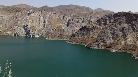
Attractions


Distance to the capital
Distance to the capital (Madrid) is about — 382 km.