
 Ribes de Freser
Prades
Ibiza
Villagarcía del Llano
A Estrada
Vilanova i la Geltrú
Calafell
Albesa
Llanes
Algemesí
Lorca
Al-Andalus
Cáceres
Aranda de Duero
Burlada
Jumilla DO
Quinto
Granadilla
Huelva
Ribes de Freser
Prades
Ibiza
Villagarcía del Llano
A Estrada
Vilanova i la Geltrú
Calafell
Albesa
Llanes
Algemesí
Lorca
Al-Andalus
Cáceres
Aranda de Duero
Burlada
Jumilla DO
Quinto
Granadilla
Huelva
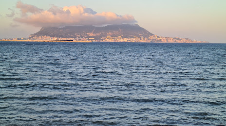
Algeciras on the map, Spain
Where is located Algeciras
Exact location — Algeciras, Cádiz, Andalusia, Spain, marked on the map with a red marker.
Coordinates
Algeciras, Spain coordinates in decimal format: latitude — 36.1407591, longitude — -5.456233. When converted to degrees, minutes, seconds Algeciras has the following coordinates: 36°8′26.73 north latitude and -5°27′22.44 east longitude.
Population
Algeciras, Cádiz, Andalusia, Spain, according to our data the population is — 104,766 residents, which is about 0.2% of the total population of the country (Spain).
Comparison of the population on the graph:
Exact time
Time zone for this location Algeciras — UTC +2 Europe/Madrid. Exact time — sunday, 4 april 2024 year, 16 h. 18 minutes.
Sunrise and sunset
Algeciras, sunrise and sunset data for a date — sunday 28.04.2024.
| Sunrise | Sunset | Day (duration) |
|---|---|---|
| 07:34 -1 minute | 21:03 -0 minutes | 13 h. 30 minutes. +1 minute |
You can control the scale of the map using the auxiliary tools to find out exactly where it is located Algeciras. When you change the scale of the map, the width of the ruler also changes (in kilometers and miles).
Nearby cities
The largest cities that are located nearby:
- Tangier
 (Morocco) — 54 km
 - Tetouan (Morocco) — 64 km
- Marbella — 65 km
- Jerez — 85 km
- Cádiz — 85 km
- Málaga — 104 km
- Dos Hermanas — 133 km
- Huelva — 180 km
- Taounate (Morocco) — 192 km
- Granada — 200 km
- Córdoba — 202 km
- Jaén — 233 km
- Kenitra (Morocco) — 233 km
- Meknes (Morocco) — 248 km
- Taza (Morocco) — 250 km
- Nador (Morocco) — 252 km
- Sale (Morocco) — 262 km
- Khemisset (Morocco) — 263 km
- Almería — 276 km
Distance to neighboring capitals:
- Rabat (Morocco) — 273 km
- Lisbon
 (Portugal) — 434 km
 - Andorra la Vella
 (Andorra) — 928 km
 - Paris
 (France) — 1551 km
 - Paris (France) — 1551 km
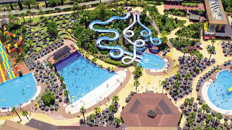
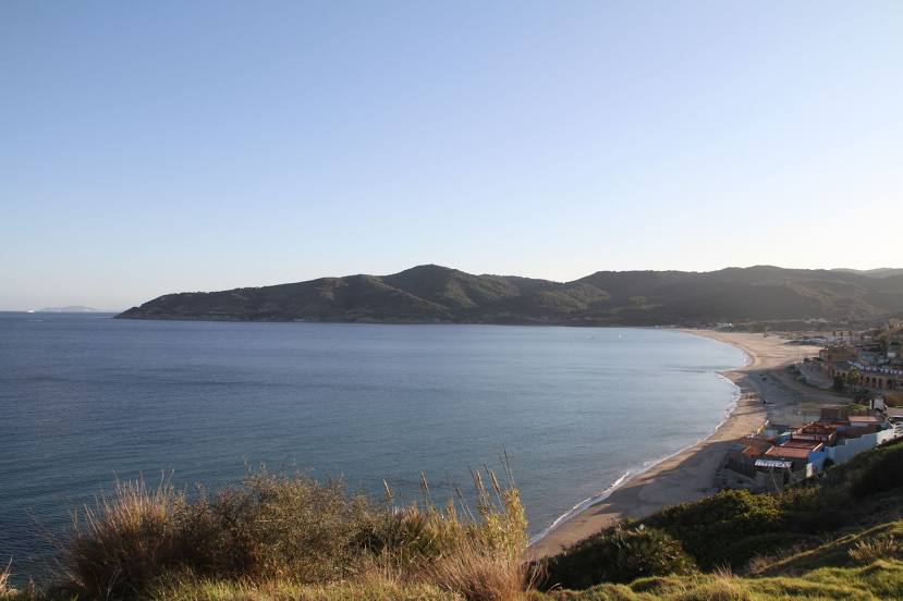
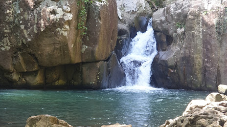
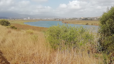
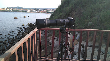
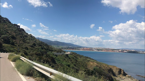
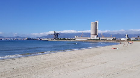
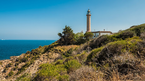
Attractions


Distance to the capital
Distance to the capital (Madrid) is about — 500 km.