
 Guadalaviar
Oñati
Fisterra
Cartagena
Baena
Pedreguer
Los Corrales de Buelna
Salvador de Zapardiel
Tejada
Nueva
Bustillo del Páramo
Utrera
Roquetas de Mar
San Vicente
Ceuta
Melilla
Jerez
Osuna
Algeciras
Guadalaviar
Oñati
Fisterra
Cartagena
Baena
Pedreguer
Los Corrales de Buelna
Salvador de Zapardiel
Tejada
Nueva
Bustillo del Páramo
Utrera
Roquetas de Mar
San Vicente
Ceuta
Melilla
Jerez
Osuna
Algeciras
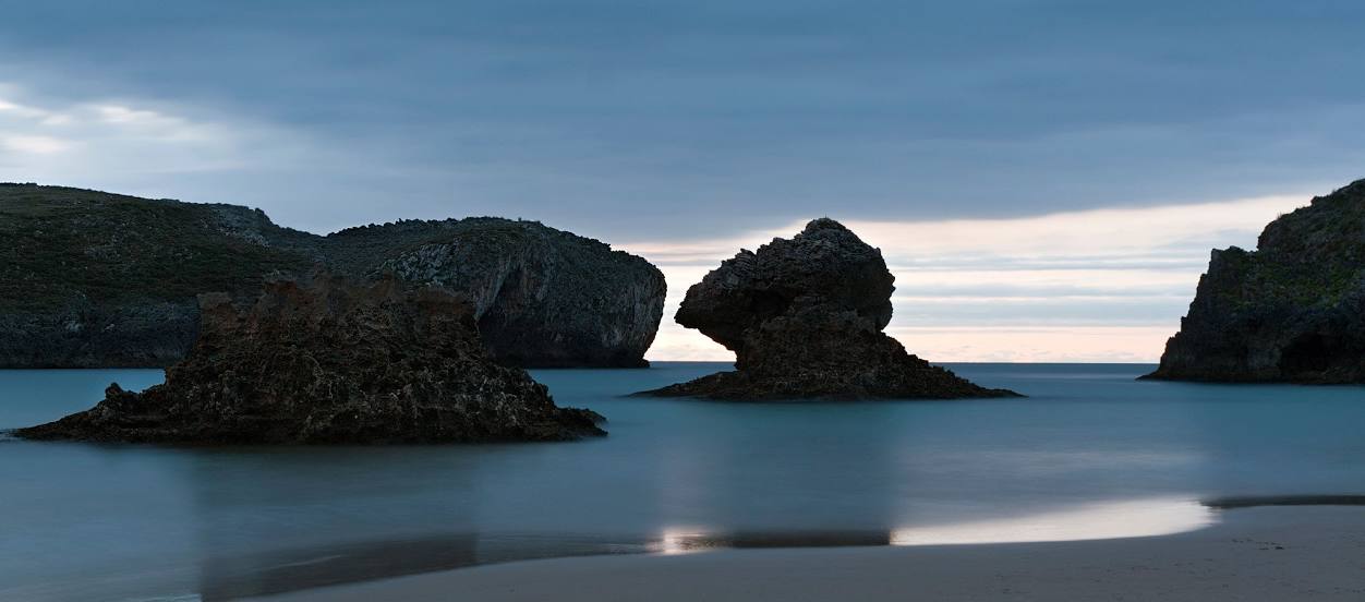
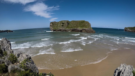
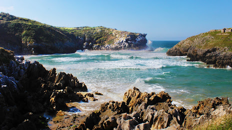
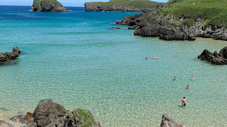
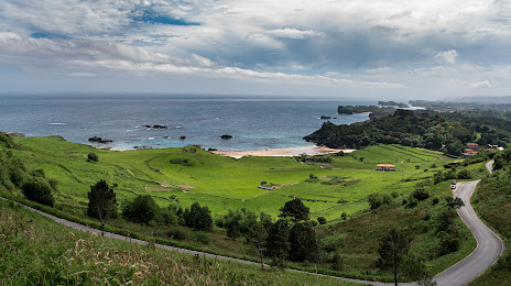
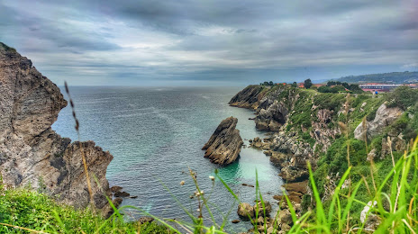
Llanes on the map, Spain
Where is located Llanes
Exact location — Llanes, Asturias, Principado de Asturias, Spain, marked on the map with a red marker.
Coordinates
Llanes, Spain coordinates in decimal format: latitude — 43.4211483, longitude — -4.7562159. When converted to degrees, minutes, seconds Llanes has the following coordinates: 43°25′16.13 north latitude and -4°45′22.38 east longitude.
Population
Llanes, Asturias, Principado de Asturias, Spain, according to our data the population is — 13,084 residents, which is about 0% of the total population of the country (Spain).
Comparison of the population on the graph:
Exact time
Time zone for this location Llanes — UTC +2 Europe/Madrid. Exact time — sunday, 4 april 2024 year, 07 h. 37 minutes.
Sunrise and sunset
Llanes, sunrise and sunset data for a date — sunday 28.04.2024.
| Sunrise | Sunset | Day (duration) |
|---|---|---|
| 07:18 -2 minutes | 21:14 +1 minute | 13 h. 54 minutes. +3 minutes |
You can control the scale of the map using the auxiliary tools to find out exactly where it is located Llanes. When you change the scale of the map, the width of the ruler also changes (in kilometers and miles).
Nearby cities
The largest cities that are located nearby:
- Gijón — 74 km
- Santander — 76 km
- Oviedo — 88 km
- León — 112 km
- Burgos — 147 km
- Bilbao — 148 km
- Vitoria-Gasteiz — 179 km
- Valladolid — 196 km
- Logroño — 216 km
- San Sebastián — 224 km
- Pamplona — 261 km
- Ourense — 281 km
- Salamanca — 281 km
- A Coruña — 294 km
- Alcobendas — 332 km
- Torrejón de Ardoz — 345 km
- Alcala de Henares — 345 km
- Alcorcón — 349 km
- Vigo — 350 km
Distance to neighboring capitals:
- Andorra la Vella
 (Andorra) — 521 km
 - Lisbon
 (Portugal) — 639 km
 - Paris
 (France) — 815 km
 - Paris (France) — 815 km
- Rabat
 (Morocco) — 1067 km
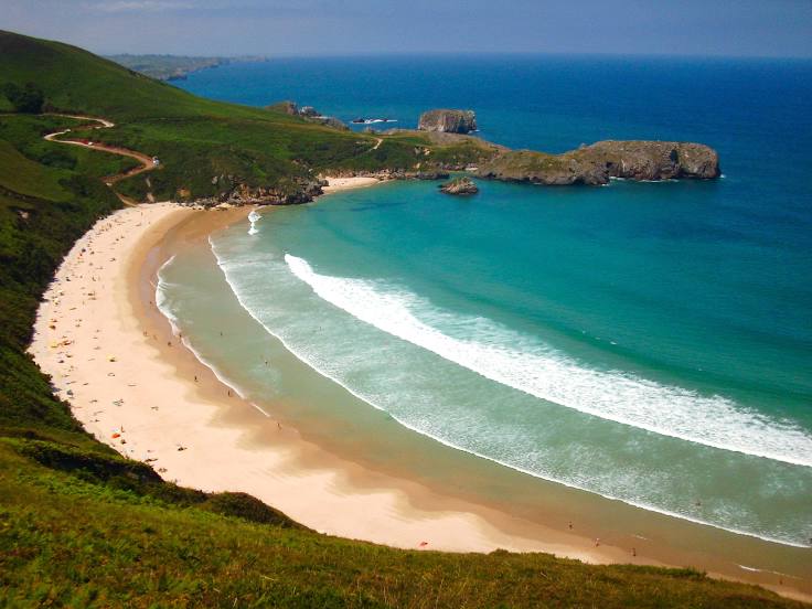
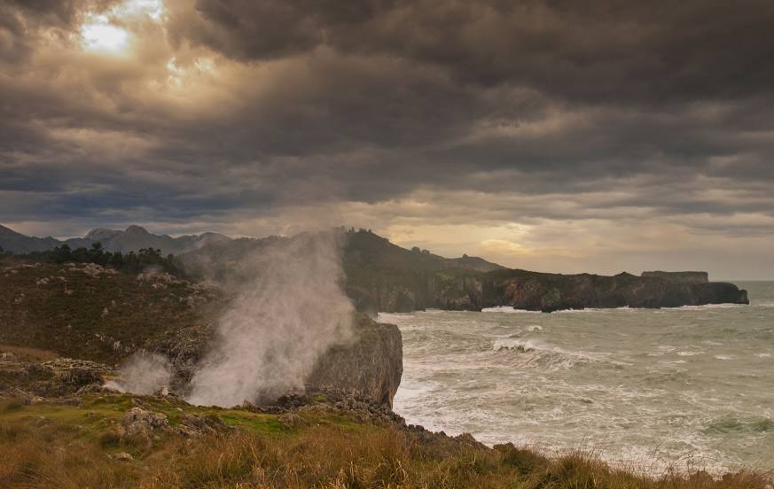
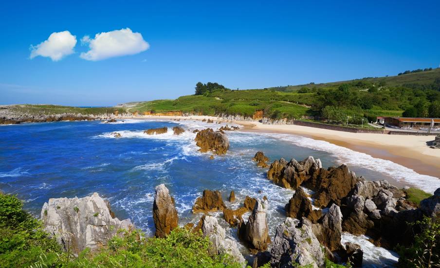
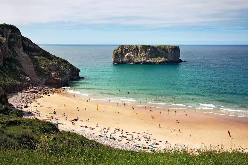
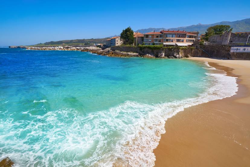
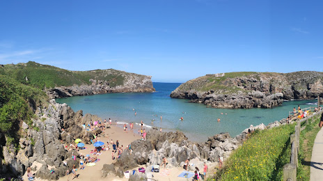
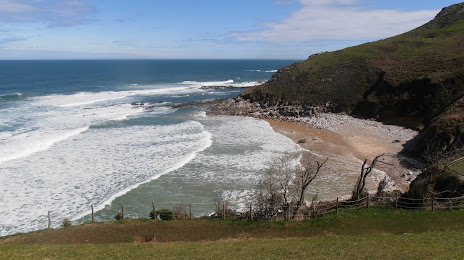
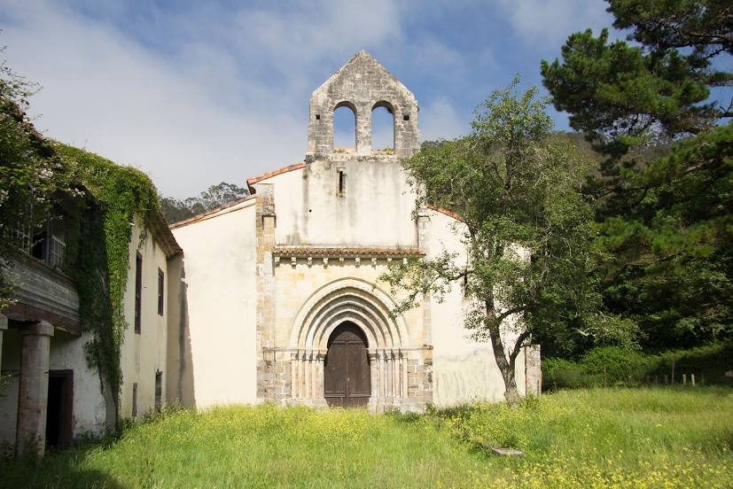
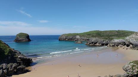
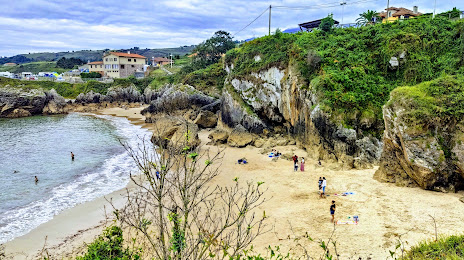
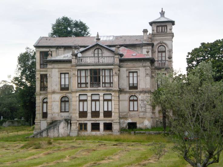
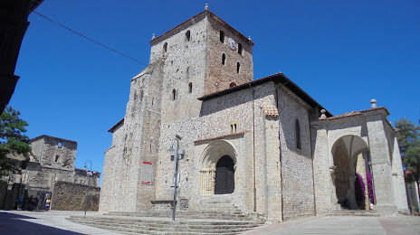
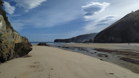
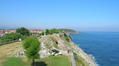
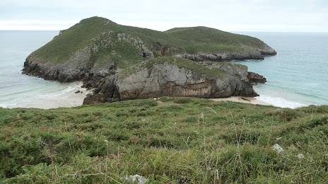
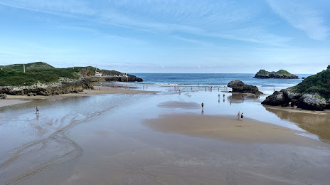
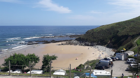
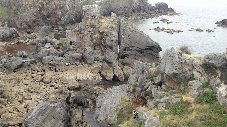
Attractions


Distance to the capital
Distance to the capital (Madrid) is about — 345 km.