
 Calafell
Albesa
Llanes
Cartes
Garcia
Martínez
Palacios del Sil
Lucainena de las Torres
Leganés
Guadalajara
Isla Mayor
Tajonar
Linares
Palafrugell
Palamós
Algemesí
Lorca
Al-Andalus
Cáceres
Calafell
Albesa
Llanes
Cartes
Garcia
Martínez
Palacios del Sil
Lucainena de las Torres
Leganés
Guadalajara
Isla Mayor
Tajonar
Linares
Palafrugell
Palamós
Algemesí
Lorca
Al-Andalus
Cáceres
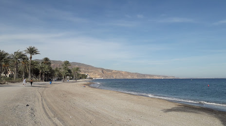
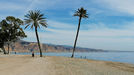
Roquetas de Mar on the map, Spain
Where is located Roquetas de Mar
Exact location — Roquetas de Mar, Almería, Andalucía, Spain, marked on the map with a red marker.
Coordinates
Roquetas de Mar, Spain coordinates in decimal format: latitude — 36.7636819, longitude — -2.6154266. When converted to degrees, minutes, seconds Roquetas de Mar has the following coordinates: 36°45′49.25 north latitude and -2°36′55.54 east longitude.
Population
Roquetas de Mar, Almería, Andalucía, Spain, according to our data the population is — 54,665 residents, which is about 0.1% of the total population of the country (Spain).
Comparison of the population on the graph:
Exact time
Time zone for this location Roquetas de Mar — UTC +2 Europe/Madrid. Exact time — saturday, 4 april 2024 year, 16 h. 10 minutes.
Sunrise and sunset
Roquetas de Mar, sunrise and sunset data for a date — saturday 27.04.2024.
| Sunrise | Sunset | Day (duration) |
|---|---|---|
| 07:23 -1 minute | 20:52 +1 minute | 13 h. 30 minutes. +2 minutes |
You can control the scale of the map using the auxiliary tools to find out exactly where it is located Roquetas de Mar. When you change the scale of the map, the width of the ruler also changes (in kilometers and miles).
Nearby cities
The largest cities that are located nearby:
- Almería — 16 km
- Granada — 98 km
- Jaén — 152 km
- Málaga — 160 km
- Cartagena — 171 km
- Nador
 (Morocco) — 179 km
 - Murcia — 188 km
- Marbella — 203 km
- Oran
 (Algeria) — 213 km
 - Córdoba — 226 km
- Oujda (Morocco) — 238 km
- Tlemcen (Algeria) — 239 km
- Sidi Bel Abbes (Algeria) — 248 km
- Albacete — 255 km
- Algeciras — 263 km
- Tetouan (Morocco) — 281 km
- Dos Hermanas — 297 km
- Relizane (Algeria) — 306 km
- Taounate (Morocco) — 308 km
Distance to neighboring capitals:
- Rabat (Morocco) — 494 km
- Lisbon
 (Portugal) — 614 km
 - Andorra la Vella
 (Andorra) — 730 km
 - Paris
 (France) — 1404 km
 - Paris (France) — 1404 km
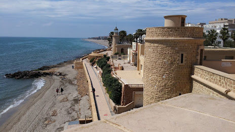
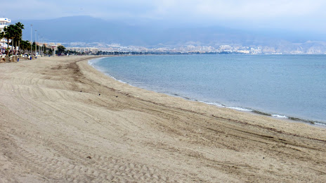
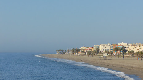
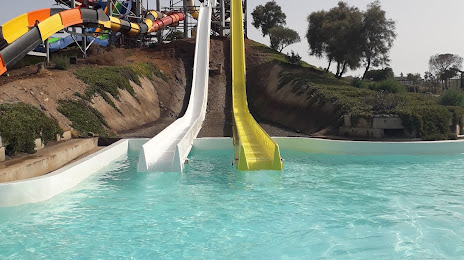
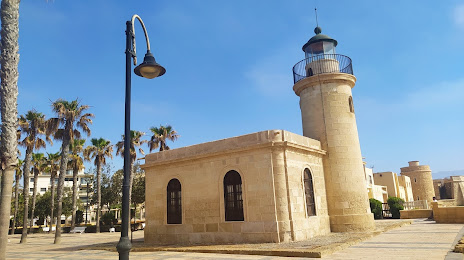
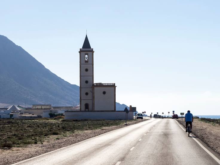
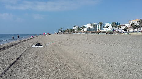
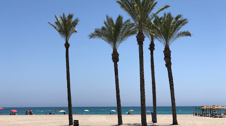
Attractions


Distance to the capital
Distance to the capital (Madrid) is about — 417 km.