
 Brenes
Cabrera de Mar
A Pobra do Caramiñal
Guadalaviar
Oñati
Fisterra
Cartagena
Baena
Pedreguer
Roquetas de Mar
San Vicente
Ceuta
Melilla
Jerez
Osuna
Algeciras
Casares
Marratxí
Cuenca
Brenes
Cabrera de Mar
A Pobra do Caramiñal
Guadalaviar
Oñati
Fisterra
Cartagena
Baena
Pedreguer
Roquetas de Mar
San Vicente
Ceuta
Melilla
Jerez
Osuna
Algeciras
Casares
Marratxí
Cuenca
Vilanova i la Geltrú on the map, Spain
Where is located Vilanova i la Geltrú
Exact location — Vilanova i la Geltrú, Barcelona, Catalunya, Spain, marked on the map with a red marker.
Coordinates
Vilanova i la Geltrú, Spain coordinates in decimal format: latitude — 41.2151504, longitude — 1.727446. When converted to degrees, minutes, seconds Vilanova i la Geltrú has the following coordinates: 41°12′54.54 north latitude and 1°43′38.81 east longitude.
Population
Vilanova i la Geltrú, Barcelona, Catalunya, Spain, according to our data the population is — 61,390 residents, which is about 0.1% of the total population of the country (Spain).
Comparison of the population on the graph:
Exact time
Time zone for this location Vilanova i la Geltrú — UTC +2 Europe/Madrid. Exact time — saturday, 4 april 2024 year, 23 h. 29 minutes.
Sunrise and sunset
Vilanova i la Geltrú, sunrise and sunset data for a date — saturday 27.04.2024.
| Sunrise | Sunset | Day (duration) |
|---|---|---|
| 06:58 -1 minute | 20:42 +1 minute | 13 h. 42 minutes. +2 minutes |
You can control the scale of the map using the auxiliary tools to find out exactly where it is located Vilanova i la Geltrú. When you change the scale of the map, the width of the ruler also changes (in kilometers and miles).
Nearby cities
The largest cities that are located nearby:
- L'Hospitalet de Llobregat — 36 km
- Tarragona — 42 km
- Terrassa — 45 km
- Santa Coloma de Gramenet — 47 km
- Sabadell — 48 km
- Badalona — 50 km
- Mataró — 69 km
- Lleida — 102 km
- Perpignan
 (France) — 189 km
 - Palma — 198 km
- Zaragoza — 221 km
- Valencia — 264 km
- Toulouse (France) — 265 km
- Montpellier (France) — 316 km
- Pamplona — 326 km
- Nimes (France) — 358 km
- Logroño — 367 km
- Marseille (France) — 373 km
- San Sebastián — 378 km
Distance to neighboring capitals:
- Andorra la Vella
 (Andorra) — 145 km
 - Paris (France) — 851 km
- Paris (France) — 851 km
- Lisbon
 (Portugal) — 966 km
 - Rabat
 (Morocco) — 1104 km
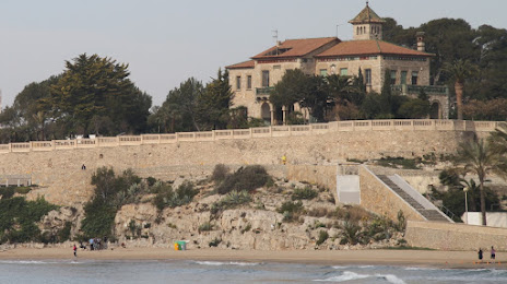
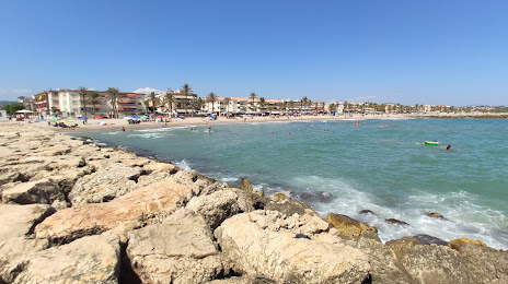
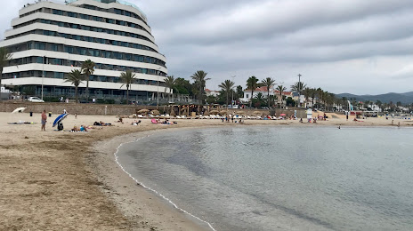
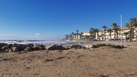
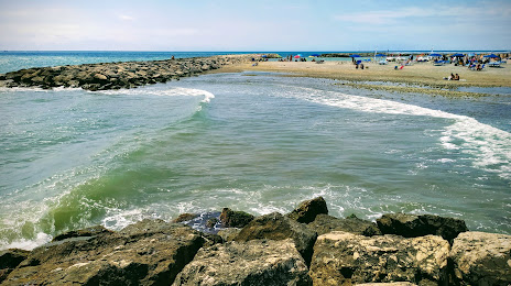
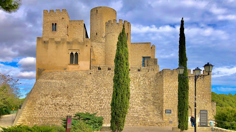
Attractions


Distance to the capital
Distance to the capital (Madrid) is about — 466 km.