
 Cabrera de Mar
A Pobra do Caramiñal
Guadalaviar
Oñati
Fisterra
Cartagena
Baena
Pedreguer
Los Corrales de Buelna
Utrera
Roquetas de Mar
San Vicente
Ceuta
Melilla
Jerez
Osuna
Algeciras
Casares
Marratxí
Cabrera de Mar
A Pobra do Caramiñal
Guadalaviar
Oñati
Fisterra
Cartagena
Baena
Pedreguer
Los Corrales de Buelna
Utrera
Roquetas de Mar
San Vicente
Ceuta
Melilla
Jerez
Osuna
Algeciras
Casares
Marratxí
Calafell on the map, Spain
Where is located Calafell
Exact location — Calafell, Tarragona, Catalunya, Spain, marked on the map with a red marker.
Coordinates
Calafell, Spain coordinates in decimal format: latitude — 41.1938386, longitude — 1.5664556. When converted to degrees, minutes, seconds Calafell has the following coordinates: 41°11′37.82 north latitude and 1°33′59.24 east longitude.
Population
Calafell, Tarragona, Catalunya, Spain, according to our data the population is — 15,325 residents, which is about 0% of the total population of the country (Spain).
Comparison of the population on the graph:
Exact time
Time zone for this location Calafell — UTC +2 Europe/Madrid. Exact time — sunday, 4 april 2024 year, 12 h. 17 minutes.
Sunrise and sunset
Calafell, sunrise and sunset data for a date — sunday 28.04.2024.
| Sunrise | Sunset | Day (duration) |
|---|---|---|
| 06:57 -2 minutes | 20:44 +1 minute | 13 h. 48 minutes. +3 minutes |
You can control the scale of the map using the auxiliary tools to find out exactly where it is located Calafell. When you change the scale of the map, the width of the ruler also changes (in kilometers and miles).
Nearby cities
The largest cities that are located nearby:
- Tarragona — 28 km
- L'Hospitalet de Llobregat — 49 km
- Terrassa — 55 km
- Sabadell — 59 km
- Santa Coloma de Gramenet — 60 km
- Badalona — 63 km
- Mataró — 82 km
- Lleida — 91 km
- Perpignan
 (France) — 197 km
 - Palma — 202 km
- Zaragoza — 209 km
- Valencia — 253 km
- Toulouse (France) — 267 km
- Pamplona — 316 km
- Montpellier (France) — 325 km
- Logroño — 356 km
- Nimes (France) — 367 km
- San Sebastián — 370 km
- Albacete — 382 km
Distance to neighboring capitals:
- Andorra la Vella
 (Andorra) — 146 km
 - Paris (France) — 855 km
- Paris (France) — 855 km
- Lisbon
 (Portugal) — 953 km
 - Rabat
 (Morocco) — 1092 km
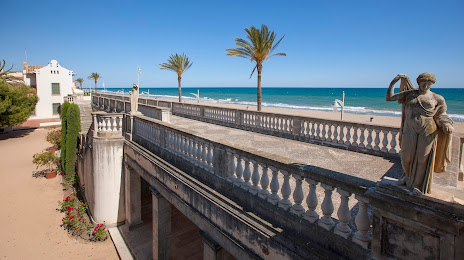
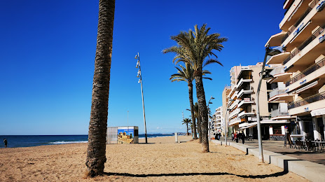
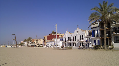
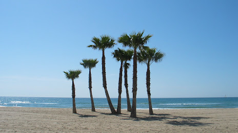
Attractions


Distance to the capital
Distance to the capital (Madrid) is about — 452 km.