
 Elgoibar
Alcántara
Martorell
Palacio
Valdecilla
Ourense
Florida de Liébana
Cortes de Pallás
Aviles
Mollet del Vallès
Leganés
Lucainena de las Torres
Palacios del Sil
Martínez
Garcia
Cartes
Llanes
Albesa
Calafell
Elgoibar
Alcántara
Martorell
Palacio
Valdecilla
Ourense
Florida de Liébana
Cortes de Pallás
Aviles
Mollet del Vallès
Leganés
Lucainena de las Torres
Palacios del Sil
Martínez
Garcia
Cartes
Llanes
Albesa
Calafell
Los Corrales de Buelna on the map, Spain
Where is located Los Corrales de Buelna
Exact location — Los Corrales de Buelna, Cantabria, Cantabria, Spain, marked on the map with a red marker.
Coordinates
Los Corrales de Buelna, Spain coordinates in decimal format: latitude — 43.2597761, longitude — -4.0669902. When converted to degrees, minutes, seconds Los Corrales de Buelna has the following coordinates: 43°15′35.19 north latitude and -4°4′1.16 east longitude.
Population
Los Corrales de Buelna, Cantabria, Cantabria, Spain, according to our data the population is — 11,066 residents, which is about 0% of the total population of the country (Spain).
Comparison of the population on the graph:
Exact time
Time zone for this location Los Corrales de Buelna — UTC +2 Europe/Madrid. Exact time — saturday, 4 april 2024 year, 00 h. 33 minutes.
Sunrise and sunset
Los Corrales de Buelna, sunrise and sunset data for a date — saturday 27.04.2024.
| Sunrise | Sunset | Day (duration) |
|---|---|---|
| 07:17 -2 minutes | 21:10 +2 minutes | 13 h. 54 minutes. +4 minutes |
You can control the scale of the map using the auxiliary tools to find out exactly where it is located Los Corrales de Buelna. When you change the scale of the map, the width of the ruler also changes (in kilometers and miles).
Nearby cities
The largest cities that are located nearby:
- Santander — 30 km
- Bilbao — 91 km
- Burgos — 106 km
- Vitoria-Gasteiz — 121 km
- Gijón — 131 km
- León — 142 km
- Oviedo — 144 km
- Logroño — 159 km
- San Sebastián — 168 km
- Valladolid — 186 km
- Pamplona — 203 km
- Salamanca — 286 km
- Alcobendas — 303 km
- Alcala de Henares — 313 km
- Torrejón de Ardoz — 314 km
- Zaragoza — 317 km
- Alcorcón — 323 km
- Bordeaux
 (France) — 324 km
 - Leganés — 325 km
Distance to neighboring capitals:
- Andorra la Vella
 (Andorra) — 463 km
 - Lisbon
 (Portugal) — 660 km
 - Paris (France) — 795 km
- Paris (France) — 795 km
- Rabat
 (Morocco) — 1061 km
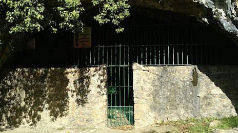
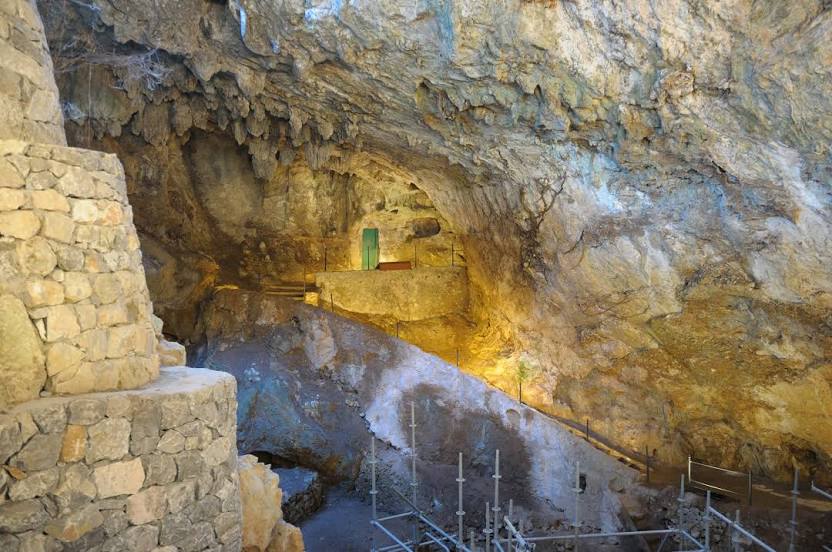
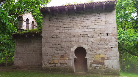
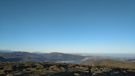
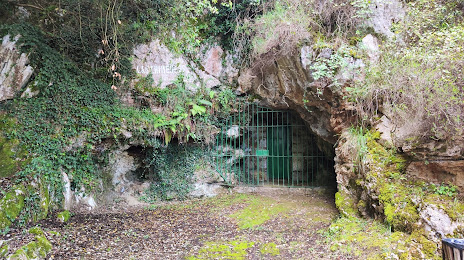
Attractions


Distance to the capital
Distance to the capital (Madrid) is about — 318 km.