
 La Orotava
Brenes
Cabrera de Mar
A Pobra do Caramiñal
Guadalaviar
Oñati
Fisterra
Cartagena
Baena
San Vicente
Ceuta
Melilla
Jerez
Osuna
Algeciras
Casares
Marratxí
Cuenca
Albacete
La Orotava
Brenes
Cabrera de Mar
A Pobra do Caramiñal
Guadalaviar
Oñati
Fisterra
Cartagena
Baena
San Vicente
Ceuta
Melilla
Jerez
Osuna
Algeciras
Casares
Marratxí
Cuenca
Albacete
A Estrada on the map, Spain
Where is located A Estrada
Exact location — A Estrada, Pontevedra, Galicia, Spain, marked on the map with a red marker.
Coordinates
A Estrada, Spain coordinates in decimal format: latitude — 42.6898968, longitude — -8.4909406. When converted to degrees, minutes, seconds A Estrada has the following coordinates: 42°41′23.63 north latitude and -8°29′27.39 east longitude.
Population
A Estrada, Pontevedra, Galicia, Spain, according to our data the population is — 21,880 residents, which is about 0% of the total population of the country (Spain).
Comparison of the population on the graph:
Exact time
Time zone for this location A Estrada — UTC +2 Europe/Madrid. Exact time — sunday, 4 april 2024 year, 03 h. 11 minutes.
Sunrise and sunset
A Estrada, sunrise and sunset data for a date — sunday 28.04.2024.
| Sunrise | Sunset | Day (duration) |
|---|---|---|
| 07:35 -1 minute | 21:27 +1 minute | 13 h. 54 minutes. +2 minutes |
You can control the scale of the map using the auxiliary tools to find out exactly where it is located A Estrada. When you change the scale of the map, the width of the ruler also changes (in kilometers and miles).
Nearby cities
The largest cities that are located nearby:
- Vigo — 53 km
- Ourense — 64 km
- A Coruña — 75 km
- Braga
 (Portugal) — 127 km
 - Porto (Portugal) — 170 km
- Oviedo — 225 km
- León — 238 km
- Gijón — 245 km
- Coimbra (Portugal) — 275 km
- Salamanca — 303 km
- Valladolid — 332 km
- Santander — 385 km
- Burgos — 394 km
- Amadora (Portugal) — 439 km
- Queluz (Portugal) — 440 km
- Badajoz — 441 km
- Lisbon (Portugal) — 442 km
- Bilbao — 452 km
- Móstoles — 469 km
Distance to neighboring capitals:
- Lisbon (Portugal) — 445 km
- Andorra la Vella
 (Andorra) — 820 km
 - Rabat
 (Morocco) — 980 km
 - Paris
 (France) — 1084 km
 - Paris (France) — 1084 km
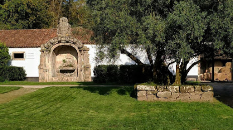
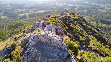
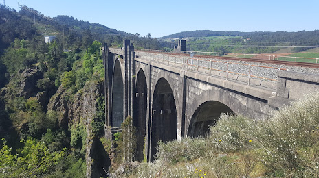
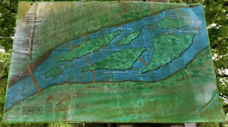
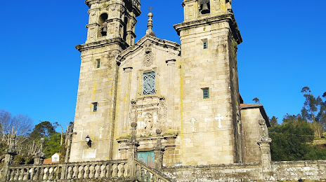
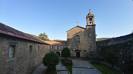
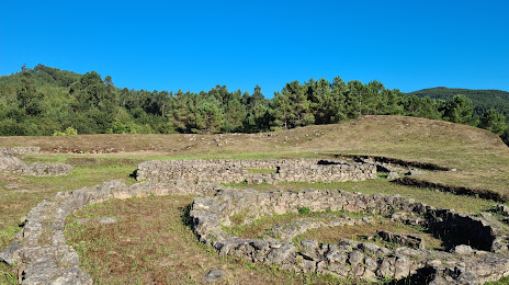
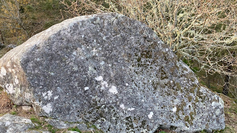
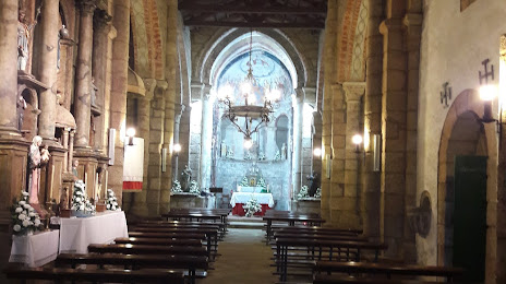
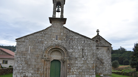
Attractions


Distance to the capital
Distance to the capital (Madrid) is about — 472 km.