
 Garcia
Martínez
Palacios del Sil
Lucainena de las Torres
Leganés
Mollet del Vallès
La Orotava
Brenes
Cabrera de Mar
Casares
Marratxí
Cuenca
Albacete
Guadalajara
Isla Mayor
Tajonar
Linares
Palafrugell
Palamós
Garcia
Martínez
Palacios del Sil
Lucainena de las Torres
Leganés
Mollet del Vallès
La Orotava
Brenes
Cabrera de Mar
Casares
Marratxí
Cuenca
Albacete
Guadalajara
Isla Mayor
Tajonar
Linares
Palafrugell
Palamós
Jaén on the map, Spain
Where is located Jaén
Exact location — Jaén, Jaén, Andalusia, Spain, marked on the map with a red marker.
Coordinates
Jaén, Spain coordinates in decimal format: latitude — 37.7795941, longitude — -3.7849057. When converted to degrees, minutes, seconds Jaén has the following coordinates: 37°46′46.54 north latitude and -3°47′5.66 east longitude.
Population
Jaén, Jaén, Andalusia, Spain, according to our data the population is — 116,291 residents, which is about 0.2% of the total population of the country (Spain).
Comparison of the population on the graph:
Exact time
Time zone for this location Jaén — UTC +2 Europe/Madrid. Exact time — saturday, 5 may 2024 year, 05 h. 21 minute.
Sunrise and sunset
Jaén, sunrise and sunset data for a date — saturday 4.05.2024.
| Sunrise | Sunset | Day (duration) |
|---|---|---|
| 07:18 -1 minute | 21:05 +1 minute | 13 h. 48 minutes. +2 minutes |
You can control the scale of the map using the auxiliary tools to find out exactly where it is located Jaén. When you change the scale of the map, the width of the ruler also changes (in kilometers and miles).
Nearby cities
The largest cities that are located nearby:
- Granada — 69 km
- Córdoba — 88 km
- Málaga — 130 km
- Almería — 157 km
- Marbella — 171 km
- Dos Hermanas — 196 km
- Albacete — 213 km
- Murcia — 232 km
- Algeciras — 235 km
- Jerez — 240 km
- Cartagena — 245 km
- Cádiz — 262 km
- Fuenlabrada — 278 km
- Getafe — 280 km
- Móstoles — 281 km
- Leganés — 282 km
- Tetouan
 (Morocco) — 283 km
 - Alcorcón — 284 km
- Huelva — 284 km
Distance to neighboring capitals:
- Lisbon
 (Portugal) — 479 km
 - Rabat (Morocco) — 506 km
- Andorra la Vella
 (Andorra) — 693 km
 - Paris
 (France) — 1327 km
 - Paris (France) — 1327 km
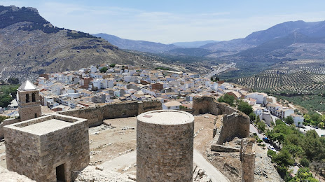
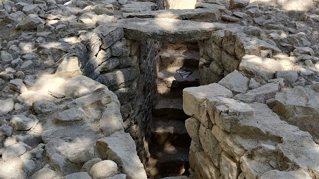
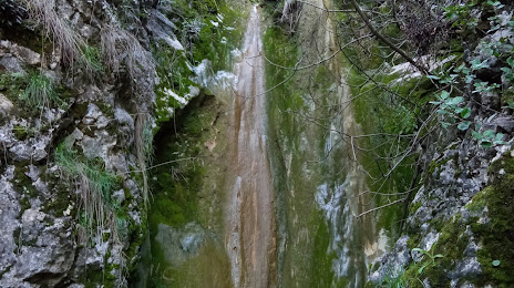
Attractions


Distance to the capital
Distance to the capital (Madrid) is about — 293 km.