
 Buñol
Torre del Campo
Sallent de Gállego
La Nucia
Arrecife
Erandio
Alcázar de San Juan
Alboraia
Arbúcies
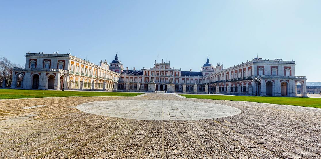
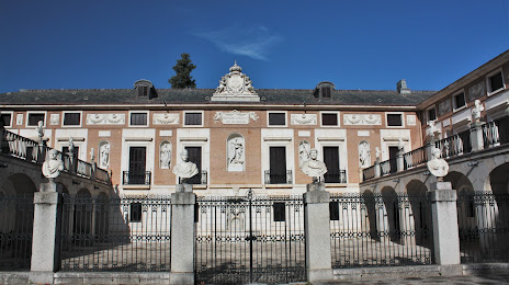
Palacio
Martorell
Alcántara
Elgoibar
Pravia
Chiclana de la Frontera
Miera
Elorrio
Campillo de Arenas
Onda
Buñol
Torre del Campo
Sallent de Gállego
La Nucia
Arrecife
Erandio
Alcázar de San Juan
Alboraia
Arbúcies
Palacio
Martorell
Alcántara
Elgoibar
Pravia
Chiclana de la Frontera
Miera
Elorrio
Campillo de Arenas
Onda
Aranjuez on the map, Spain
Where is located Aranjuez
Exact location — Aranjuez, Madrid, Comunidad de Madrid, Spain, marked on the map with a red marker.
Coordinates
Aranjuez, Spain coordinates in decimal format: latitude — 40.0305018, longitude — -3.6040527. When converted to degrees, minutes, seconds Aranjuez has the following coordinates: 40°1′49.81 north latitude and -3°36′14.59 east longitude.
Population
Aranjuez, Madrid, Comunidad de Madrid, Spain, according to our data the population is — 45,125 residents, which is about 0.1% of the total population of the country (Spain).
Comparison of the population on the graph:
Exact time
Time zone for this location Aranjuez — UTC +2 Europe/Madrid. Exact time — saturday, 4 april 2024 year, 00 h. 57 minutes.
Sunrise and sunset
Aranjuez, sunrise and sunset data for a date — saturday 27.04.2024.
| Sunrise | Sunset | Day (duration) |
|---|---|---|
| 07:21 -2 minutes | 21:02 +1 minute | 13 h. 42 minutes. +3 minutes |
You can control the scale of the map using the auxiliary tools to find out exactly where it is located Aranjuez. When you change the scale of the map, the width of the ruler also changes (in kilometers and miles).
Nearby cities
The largest cities that are located nearby:
- Getafe — 33 km
- Fuenlabrada — 33 km
- Leganés — 36 km
- Móstoles — 39 km
- Alcorcón — 40 km
- Torrejón de Ardoz — 48 km
- Alcala de Henares — 54 km
- Alcobendas — 56 km
- Albacete — 189 km
- Salamanca — 201 km
- Valladolid — 202 km
- Jaén — 249 km
- Burgos — 256 km
- Córdoba — 258 km
- Valencia — 282 km
- Logroño — 285 km
- Zaragoza — 287 km
- Murcia — 312 km
- Granada — 315 km
Distance to neighboring capitals:
- Lisbon
 (Portugal) — 498 km
 - Andorra la Vella
 (Andorra) — 509 km
 - Rabat
 (Morocco) — 733 km
 - Paris
 (France) — 1089 km
 - Paris (France) — 1089 km
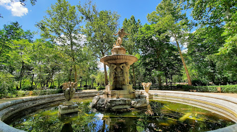
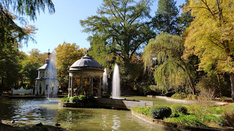
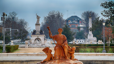
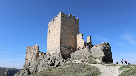
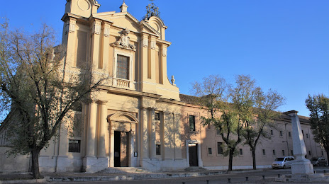
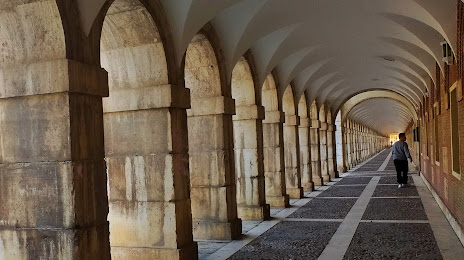
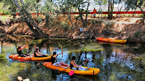
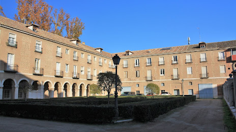
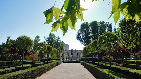
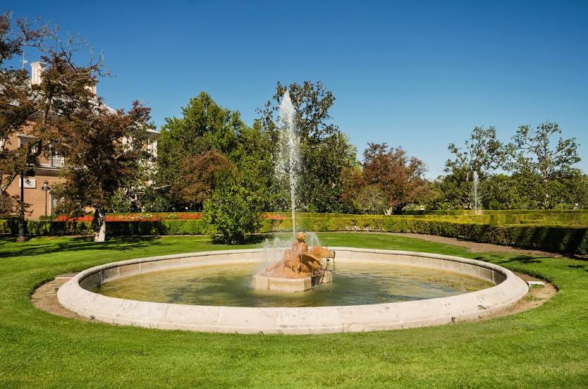
Attractions


Distance to the capital
Distance to the capital (Madrid) is about — 44 km.