
 Agolada
Benidorm
Pont de Molins
Palau-solità i Plegamans
Beniparrell
Santa Lucía de Tirajana
Constantí
Velasco
Carrión
Lasarte-Oria
Pinos Puente
Xaló
Segura
Aranjuez
Manacor
A Guarda
Calles
Castro del Río
Trujillo
Agolada
Benidorm
Pont de Molins
Palau-solità i Plegamans
Beniparrell
Santa Lucía de Tirajana
Constantí
Velasco
Carrión
Lasarte-Oria
Pinos Puente
Xaló
Segura
Aranjuez
Manacor
A Guarda
Calles
Castro del Río
Trujillo
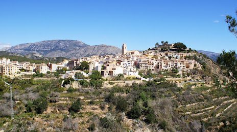
La Nucia on the map, Spain
Where is located La Nucia
Exact location — La Nucia, Alicante, Valencian Community, Spain, marked on the map with a red marker.
Coordinates
La Nucia, Spain coordinates in decimal format: latitude — 38.612269, longitude — -0.1272708. When converted to degrees, minutes, seconds La Nucia has the following coordinates: 38°36′44.17 north latitude and -0°7′38.17 east longitude.
Population
La Nucia, Alicante, Valencian Community, Spain, according to our data the population is — 17,874 residents, which is about 0% of the total population of the country (Spain).
Comparison of the population on the graph:
Exact time
Time zone for this location La Nucia — UTC +2 Europe/Madrid. Exact time — sunday, 4 april 2024 year, 05 h. 51 minute.
Sunrise and sunset
La Nucia, sunrise and sunset data for a date — sunday 28.04.2024.
| Sunrise | Sunset | Day (duration) |
|---|---|---|
| 07:09 -1 minute | 20:46 +1 minute | 13 h. 36 minutes. +2 minutes |
You can control the scale of the map using the auxiliary tools to find out exactly where it is located La Nucia. When you change the scale of the map, the width of the ruler also changes (in kilometers and miles).
Nearby cities
The largest cities that are located nearby:
- Valencia — 97 km
- Murcia — 111 km
- Cartagena — 133 km
- Albacete — 155 km
- Palma — 259 km
- Almería — 285 km
- Tarragona — 300 km
- Chlef
 (Algeria) — 300 km
 - Relizane (Algeria) — 324 km
- Oran (Algeria) — 325 km
- Jaén — 333 km
- Lleida — 338 km
- Zaragoza — 342 km
- Alcala de Henares — 342 km
- Granada — 345 km
- Torrejón de Ardoz — 348 km
- Algiers (Algeria) — 348 km
- L'Hospitalet de Llobregat — 357 km
- Getafe — 357 km
Distance to neighboring capitals:
- Andorra la Vella
 (Andorra) — 455 km
 - Lisbon
 (Portugal) — 782 km
 - Rabat
 (Morocco) — 793 km
 - Paris
 (France) — 1157 km
 - Paris (France) — 1157 km
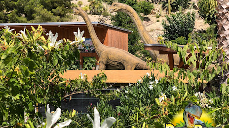
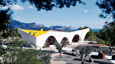
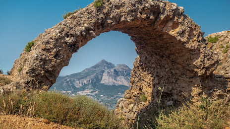
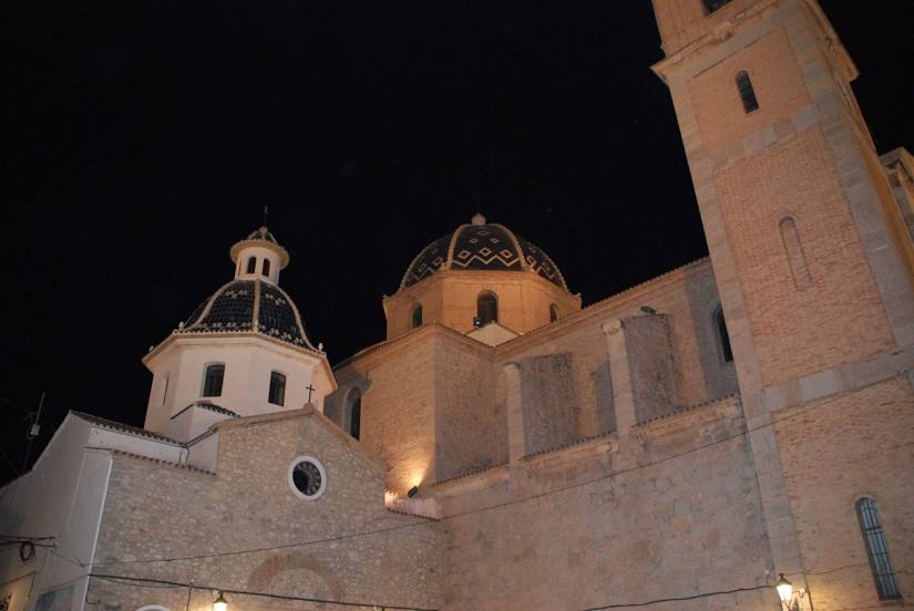
Attractions


Distance to the capital
Distance to the capital (Madrid) is about — 367 km.