
 Dos Hermanas
Torrevieja
Lugo
Villanueva
Tudela
Salceda de Caselas
Rueda
El Prat de Llobregat
Alhambra
Erandio
Arrecife
La Nucia
Sallent de Gállego
Torre del Campo
Buñol
Tineo
Pinillos
Santa Bàrbara
Pontevedra
Dos Hermanas
Torrevieja
Lugo
Villanueva
Tudela
Salceda de Caselas
Rueda
El Prat de Llobregat
Alhambra
Erandio
Arrecife
La Nucia
Sallent de Gállego
Torre del Campo
Buñol
Tineo
Pinillos
Santa Bàrbara
Pontevedra
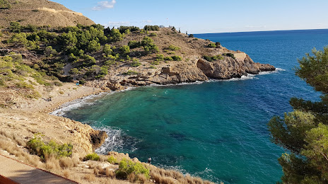
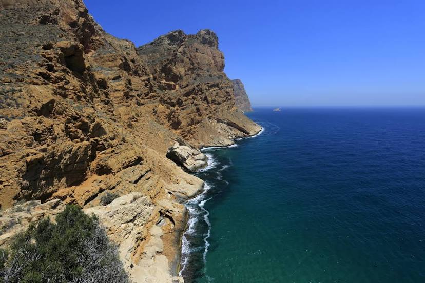
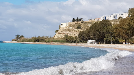
Benidorm on the map, Spain
Where is located Benidorm
Exact location — Benidorm, Alicante, Valencian Community, Spain, marked on the map with a red marker.
Coordinates
Benidorm, Spain coordinates in decimal format: latitude — 38.5410566, longitude — -0.1224937. When converted to degrees, minutes, seconds Benidorm has the following coordinates: 38°32′27.8 north latitude and -0°7′20.98 east longitude.
Population
Benidorm, Alicante, Valencian Community, Spain, according to our data the population is — 60,603 residents, which is about 0.1% of the total population of the country (Spain).
Comparison of the population on the graph:
Exact time
Time zone for this location Benidorm — UTC +2 Europe/Madrid. Exact time — friday, 5 may 2024 year, 05 h. 07 minutes.
Sunrise and sunset
Benidorm, sunrise and sunset data for a date — friday 10.05.2024.
| Sunrise | Sunset | Day (duration) |
|---|---|---|
| 06:56 -1 minute | 20:57 +1 minute | 14 h. 0 minutes. +2 minutes |
You can control the scale of the map using the auxiliary tools to find out exactly where it is located Benidorm. When you change the scale of the map, the width of the ruler also changes (in kilometers and miles).
Nearby cities
The largest cities that are located nearby:
- Valencia — 105 km
- Murcia — 107 km
- Cartagena — 127 km
- Albacete — 157 km
- Palma — 262 km
- Almería — 280 km
- Chlef
 (Algeria) — 293 km
 - Tarragona — 307 km
- Relizane (Algeria) — 316 km
- Oran (Algeria) — 318 km
- Jaén — 331 km
- Granada — 341 km
- Algiers (Algeria) — 343 km
- Lleida — 346 km
- Alcala de Henares — 347 km
- Zaragoza — 349 km
- Torrejón de Ardoz — 353 km
- Médéa (Algeria) — 359 km
- Getafe — 362 km
Distance to neighboring capitals:
- Andorra la Vella
 (Andorra) — 462 km
 - Lisbon
 (Portugal) — 783 km
 - Rabat
 (Morocco) — 788 km
 - Paris
 (France) — 1164 km
 - Paris (France) — 1164 km
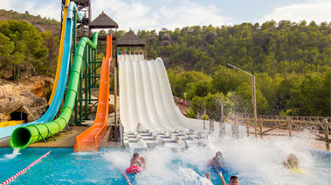
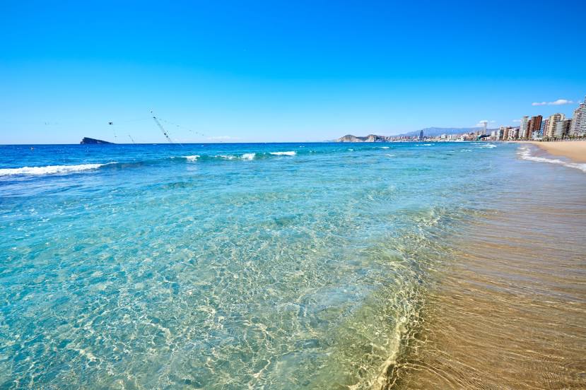
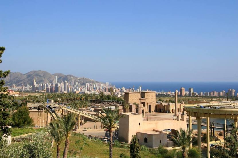
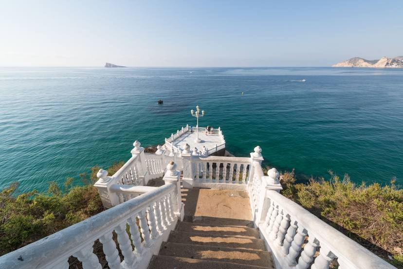
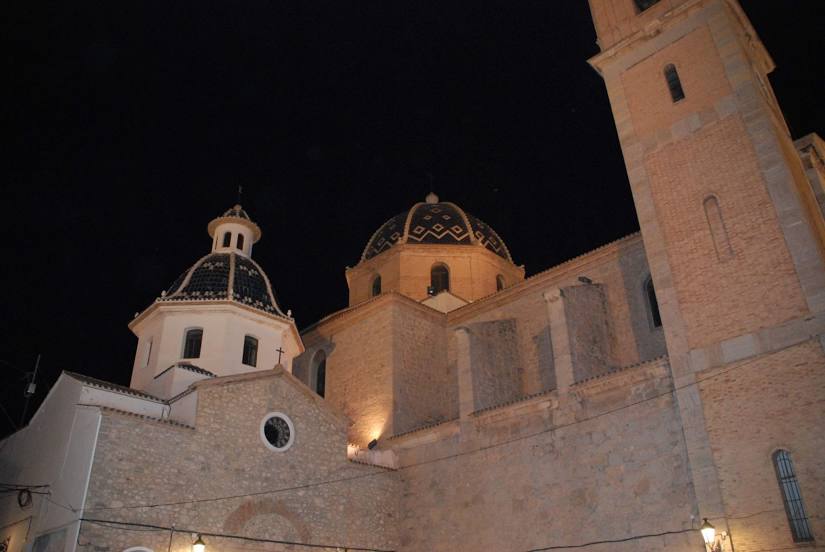
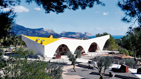
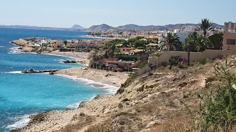
Attractions


Distance to the capital
Distance to the capital (Madrid) is about — 372 km.