
 Puertas
Mairena del Aljarafe
Tarrés
Montferrer
Colloto
Culleredo
Bergondo
Mondoñedo
Puerto Real
Constantí
Santa Lucía de Tirajana
Beniparrell
Palau-solità i Plegamans
Pont de Molins
Benidorm
Agolada
Huarte
Adeje
Moratalla
Puertas
Mairena del Aljarafe
Tarrés
Montferrer
Colloto
Culleredo
Bergondo
Mondoñedo
Puerto Real
Constantí
Santa Lucía de Tirajana
Beniparrell
Palau-solità i Plegamans
Pont de Molins
Benidorm
Agolada
Huarte
Adeje
Moratalla
Tudela on the map, Spain
Where is located Tudela
Exact location — Tudela, Navarra, Navarra, Spain, marked on the map with a red marker.
Coordinates
Tudela, Spain coordinates in decimal format: latitude — 42.0613816, longitude — -1.6063169. When converted to degrees, minutes, seconds Tudela has the following coordinates: 42°3′40.97 north latitude and -1°36′22.74 east longitude.
Population
Tudela, Navarra, Navarra, Spain, according to our data the population is — 31,687 residents, which is about 0.1% of the total population of the country (Spain).
Comparison of the population on the graph:
Exact time
Time zone for this location Tudela — UTC +2 Europe/Madrid. Exact time — wednesday, 5 may 2024 year, 08 h. 40 minutes.
Sunrise and sunset
Tudela, sunrise and sunset data for a date — wednesday 8.05.2024.
| Sunrise | Sunset | Day (duration) |
|---|---|---|
| 06:56 -1 minute | 21:09 +1 minute | 14 h. 12 minutes. +2 minutes |
You can control the scale of the map using the auxiliary tools to find out exactly where it is located Tudela. When you change the scale of the map, the width of the ruler also changes (in kilometers and miles).
Nearby cities
The largest cities that are located nearby:
- Zaragoza — 75 km
- Logroño — 82 km
- Pamplona — 83 km
- Vitoria-Gasteiz — 124 km
- San Sebastián — 142 km
- Bilbao — 171 km
- Burgos — 174 km
- Lleida — 190 km
- Alcala de Henares — 229 km
- Santander — 235 km
- Torrejón de Ardoz — 237 km
- Alcobendas — 240 km
- Tarragona — 259 km
- Valladolid — 262 km
- Getafe — 264 km
- Leganés — 264 km
- Alcorcón — 266 km
- Fuenlabrada — 270 km
- Móstoles — 271 km
Distance to neighboring capitals:
- Andorra la Vella
 (Andorra) — 262 km
 - Lisbon
 (Portugal) — 738 km
 - Paris
 (France) — 816 km
 - Paris (France) — 816 km
- Rabat
 (Morocco) — 1010 km
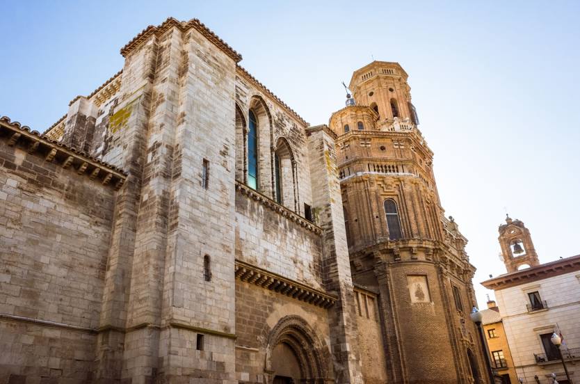
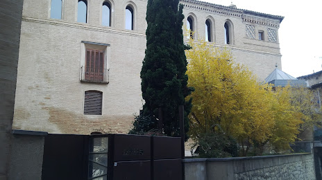
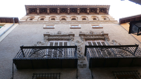
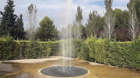
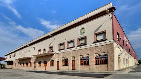
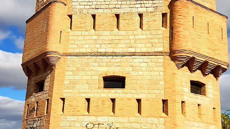
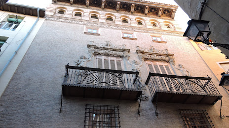
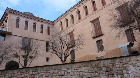
Attractions


Distance to the capital
Distance to the capital (Madrid) is about — 253 km.