
 Pont de Molins
Palau-solità i Plegamans
Beniparrell
Santa Lucía de Tirajana
Constantí
Velasco
Carrión
Eibar
Matas
San Telmo
Mutilva Baja
Lasarte-Oria
Pinos Puente
Xaló
Segura
Aranjuez
Manacor
A Guarda
Calles
Pont de Molins
Palau-solità i Plegamans
Beniparrell
Santa Lucía de Tirajana
Constantí
Velasco
Carrión
Eibar
Matas
San Telmo
Mutilva Baja
Lasarte-Oria
Pinos Puente
Xaló
Segura
Aranjuez
Manacor
A Guarda
Calles
Erandio on the map, Spain
Where is located Erandio
Exact location — Erandio, Biscay, País Vasco, Spain, marked on the map with a red marker.
Coordinates
Erandio, Spain coordinates in decimal format: latitude — 43.3028593, longitude — -2.9756534. When converted to degrees, minutes, seconds Erandio has the following coordinates: 43°18′10.29 north latitude and -2°58′32.35 east longitude.
Population
Erandio, Biscay, País Vasco, Spain, according to our data the population is — 22,377 residents, which is about 0% of the total population of the country (Spain).
Comparison of the population on the graph:
Exact time
Time zone for this location Erandio — UTC +2 Europe/Madrid. Exact time — saturday, 4 april 2024 year, 22 h. 40 minutes.
Sunrise and sunset
Erandio, sunrise and sunset data for a date — saturday 27.04.2024.
| Sunrise | Sunset | Day (duration) |
|---|---|---|
| 07:13 -1 minute | 21:05 +1 minute | 13 h. 54 minutes. +2 minutes |
You can control the scale of the map using the auxiliary tools to find out exactly where it is located Erandio. When you change the scale of the map, the width of the ruler also changes (in kilometers and miles).
Nearby cities
The largest cities that are located nearby:
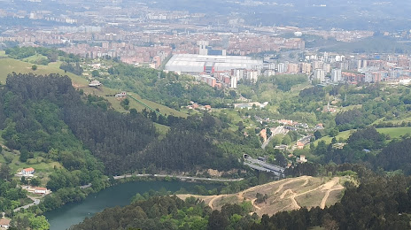
- Bilbao — 5 km
- Vitoria-Gasteiz — 55 km
- Santander — 69 km
- San Sebastián — 80 km
- Logroño — 102 km
- Pamplona — 121 km
- Burgos — 121 km
- Gijón — 217 km
- León — 225 km
- Oviedo — 231 km
- Valladolid — 233 km
- Zaragoza — 251 km
- Bordeaux
 (France) — 253 km
 - Alcobendas — 311 km
- Alcala de Henares — 314 km
- Torrejón de Ardoz — 317 km
- Alcorcón — 335 km
- Leganés — 335 km
- Getafe — 337 km
Distance to neighboring capitals:
- Andorra la Vella
 (Andorra) — 377 km
 - Lisbon
 (Portugal) — 726 km
 - Paris (France) — 742 km
- Paris (France) — 742 km
- Rabat
 (Morocco) — 1091 km
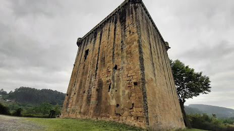
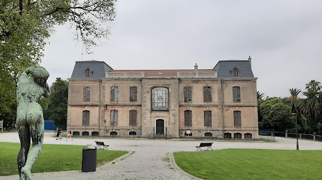
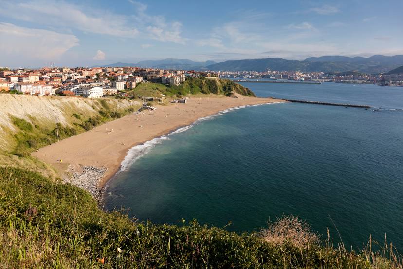
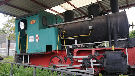
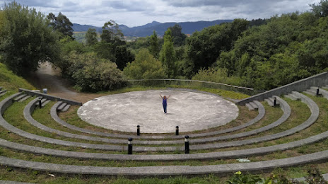
Attractions


Distance to the capital
Distance to the capital (Madrid) is about — 327 km.