
 Castro del Río
Calles
A Guarda
Manacor
Aranjuez
Segura
Xaló
Pinos Puente
Lasarte-Oria
Pedreguer
Baena
Cartagena
Fisterra
Oñati
Guadalaviar
A Pobra do Caramiñal
Cabrera de Mar
Brenes
La Orotava
Castro del Río
Calles
A Guarda
Manacor
Aranjuez
Segura
Xaló
Pinos Puente
Lasarte-Oria
Pedreguer
Baena
Cartagena
Fisterra
Oñati
Guadalaviar
A Pobra do Caramiñal
Cabrera de Mar
Brenes
La Orotava
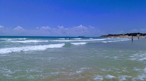
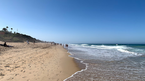
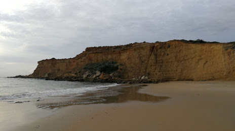
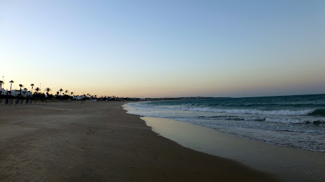
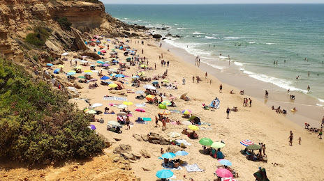
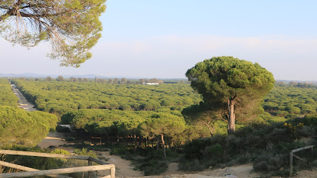
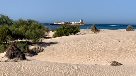
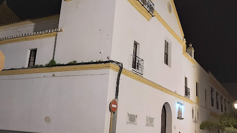
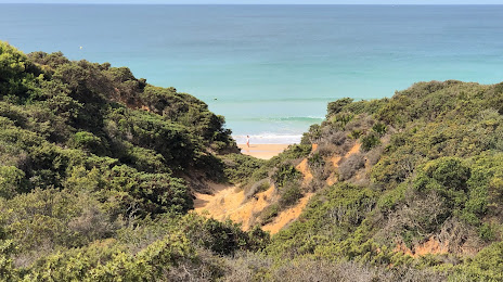
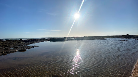
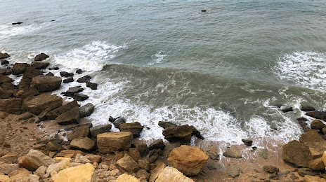
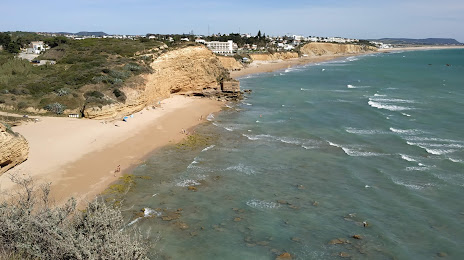
Chiclana de la Frontera on the map, Spain
Where is located Chiclana de la Frontera
Exact location — Chiclana de la Frontera, Cádiz, Andalucía, Spain, marked on the map with a red marker.
Coordinates
Chiclana de la Frontera, Spain coordinates in decimal format: latitude — 36.4165052, longitude — -6.1461102. When converted to degrees, minutes, seconds Chiclana de la Frontera has the following coordinates: 36°24′59.42 north latitude and -6°8′46 east longitude.
Population
Chiclana de la Frontera, Cádiz, Andalucía, Spain, according to our data the population is — 70,615 residents, which is about 0.2% of the total population of the country (Spain).
Comparison of the population on the graph:
Exact time
Time zone for this location Chiclana de la Frontera — UTC +2 Europe/Madrid. Exact time — sunday, 4 april 2024 year, 09 h. 59 minutes.
Sunrise and sunset
Chiclana de la Frontera, sunrise and sunset data for a date — sunday 28.04.2024.
| Sunrise | Sunset | Day (duration) |
|---|---|---|
| 07:36 -2 minutes | 21:07 +1 minute | 13 h. 30 minutes. +3 minutes |
You can control the scale of the map using the auxiliary tools to find out exactly where it is located Chiclana de la Frontera. When you change the scale of the map, the width of the ruler also changes (in kilometers and miles).
Nearby cities
The largest cities that are located nearby:
- Cádiz — 18 km
- Jerez — 30 km
- Algeciras — 69 km
- Tangier
 (Morocco) — 78 km
 - Dos Hermanas — 98 km
- Marbella — 113 km
- Huelva — 117 km
- Tetouan (Morocco) — 117 km
- Málaga — 150 km
- Córdoba — 202 km
- Granada — 240 km
- Kenitra (Morocco) — 243 km
- Taounate (Morocco) — 249 km
- Jaén — 256 km
- Sale (Morocco) — 270 km
- Badajoz — 281 km
- Temara (Morocco) — 284 km
- Meknes (Morocco) — 284 km
- Khemisset (Morocco) — 288 km
Distance to neighboring capitals:
- Rabat (Morocco) — 279 km
- Lisbon
 (Portugal) — 368 km
 - Andorra la Vella
 (Andorra) — 944 km
 - Paris
 (France) — 1546 km
 - Paris (France) — 1546 km
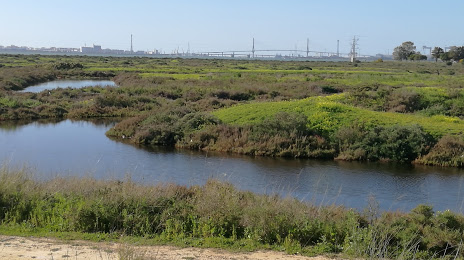
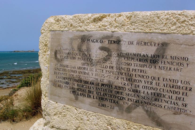
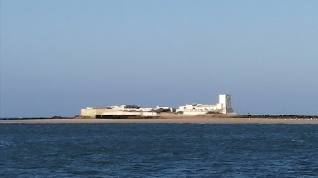
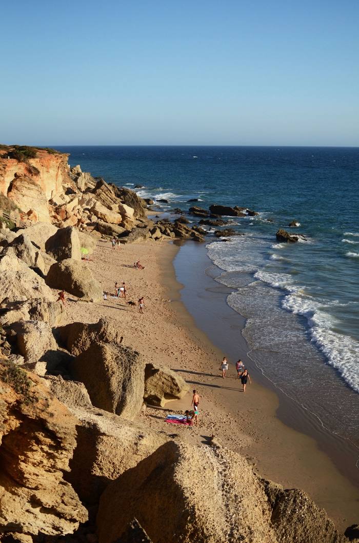
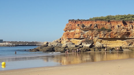
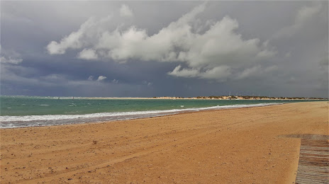
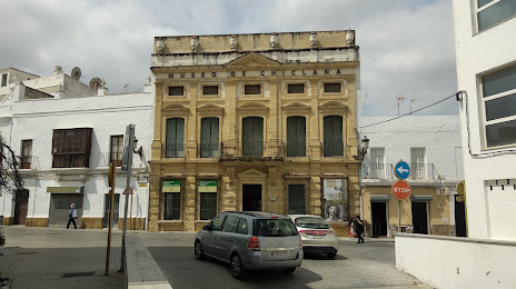
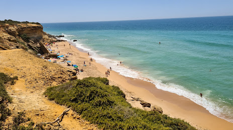
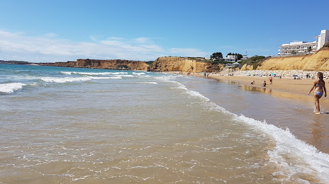
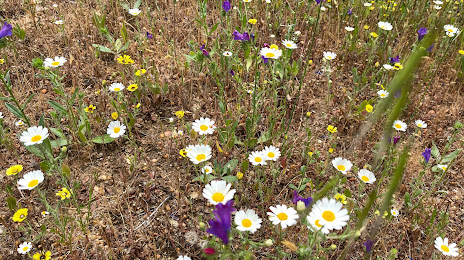
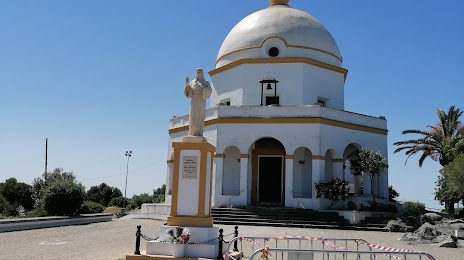
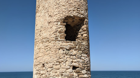
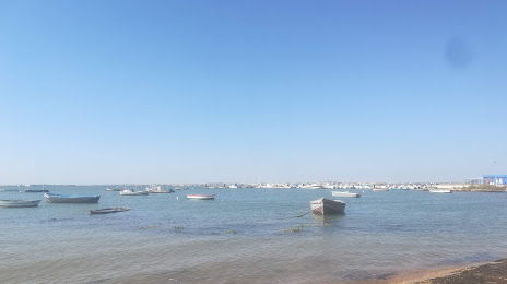
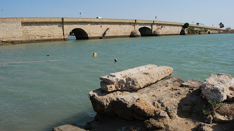
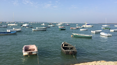
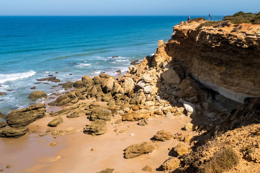
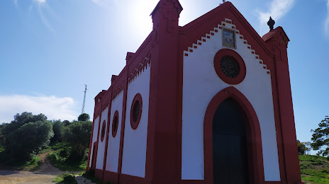
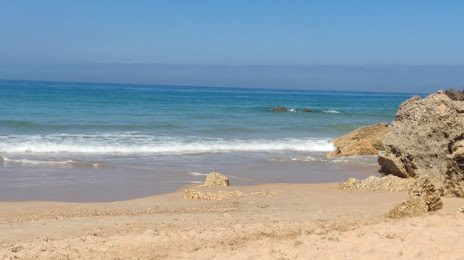
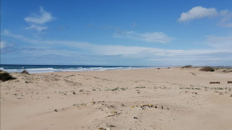
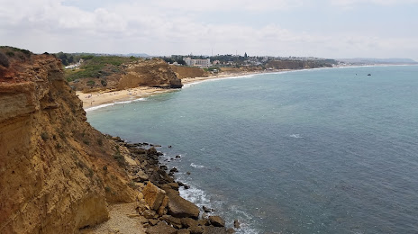
Attractions


Distance to the capital
Distance to the capital (Madrid) is about — 493 km.