
 Palau-solità i Plegamans
Beniparrell
Santa Lucía de Tirajana
Constantí
Velasco
Carrión
Eibar
Matas
Barrio de Muñó
Laguna de Duero
San Telmo
Mutilva Baja
Lasarte-Oria
Pinos Puente
Xaló
Segura
Aranjuez
Manacor
A Guarda
Palau-solità i Plegamans
Beniparrell
Santa Lucía de Tirajana
Constantí
Velasco
Carrión
Eibar
Matas
Barrio de Muñó
Laguna de Duero
San Telmo
Mutilva Baja
Lasarte-Oria
Pinos Puente
Xaló
Segura
Aranjuez
Manacor
A Guarda
Alcázar de San Juan on the map, Spain
Where is located Alcázar de San Juan
Exact location — Alcázar de San Juan, Ciudad Real, Castilla-La Mancha, Spain, marked on the map with a red marker.
Coordinates
Alcázar de San Juan, Spain coordinates in decimal format: latitude — 39.3900748, longitude — -3.2100984. When converted to degrees, minutes, seconds Alcázar de San Juan has the following coordinates: 39°23′24.27 north latitude and -3°12′36.35 east longitude.
Population
Alcázar de San Juan, Ciudad Real, Castilla-La Mancha, Spain, according to our data the population is — 26,976 residents, which is about 0.1% of the total population of the country (Spain).
Comparison of the population on the graph:
Exact time
Time zone for this location Alcázar de San Juan — UTC +2 Europe/Madrid. Exact time — sunday, 4 april 2024 year, 06 h. 35 minutes.
Sunrise and sunset
Alcázar de San Juan, sunrise and sunset data for a date — sunday 28.04.2024.
| Sunrise | Sunset | Day (duration) |
|---|---|---|
| 07:20 -1 minute | 21:00 +1 minute | 13 h. 42 minutes. +2 minutes |
You can control the scale of the map using the auxiliary tools to find out exactly where it is located Alcázar de San Juan. When you change the scale of the map, the width of the ruler also changes (in kilometers and miles).
Nearby cities
The largest cities that are located nearby:
- Getafe — 111 km
- Fuenlabrada — 111 km
- Leganés — 114 km
- Móstoles — 117 km
- Alcorcón — 118 km
- Torrejón de Ardoz — 120 km
- Alcala de Henares — 121 km
- Albacete — 124 km
- Alcobendas — 132 km
- Jaén — 185 km
- Córdoba — 215 km
- Murcia — 238 km
- Valencia — 242 km
- Granada — 247 km
- Salamanca — 269 km
- Cartagena — 275 km
- Valladolid — 280 km
- Almería — 290 km
- Málaga — 314 km
Distance to neighboring capitals:
- Lisbon
 (Portugal) — 517 km
 - Andorra la Vella
 (Andorra) — 527 km
 - Rabat
 (Morocco) — 684 km
 - Paris
 (France) — 1142 km
 - Paris (France) — 1142 km
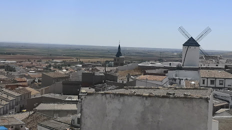
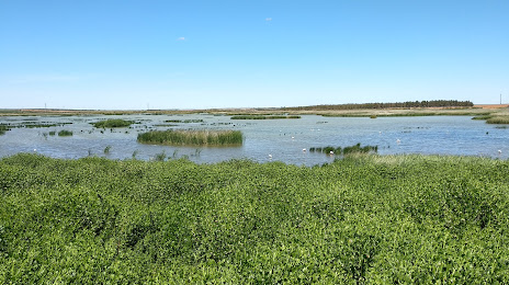
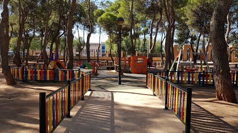
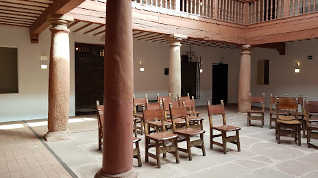
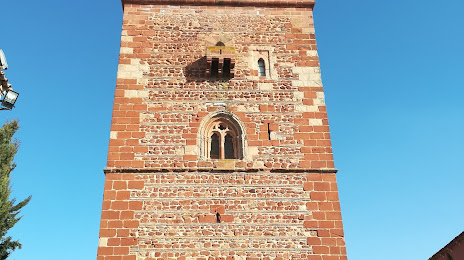
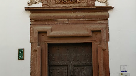
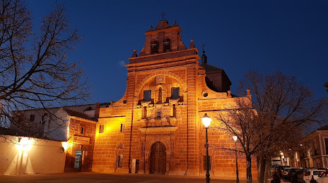
Attractions


Distance to the capital
Distance to the capital (Madrid) is about — 122 km.