Puerto Escondido — Ciudad Juarez
Puerto Escondido — Chicontepec
Puerto Escondido — Santa María Jalapa del Marqués
Puerto Escondido — Tulum
Puerto Escondido — Álamo Temapache
Puerto Escondido — Center
Puerto Escondido — Santa María del Río
Puerto Escondido — Reyes Etla
Puerto Escondido — Opopeo
Puerto Escondido — Basaseachi
Puerto Escondido — Agua Prieta
Puerto Escondido — Villachuato
Puerto Escondido — Colonia Enríquez
Puerto Escondido — Gabriel Zamora
Puerto Escondido — Llera
Puerto Escondido — Villanueva
Puerto Escondido — Aeropuerto Internacional de Mexicali
Puerto Escondido — Silacayoapam
Puerto Escondido — Yanga
Santa María Tonameca
Chacahua
Mazunte
San Pedro Pochutla
San Pedro Pochutla
Huatulco International Airport HUX
T
Tangolunda
Barra Copalita
Tapanalá
Santiago Astata
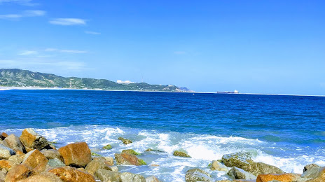
Puerto Escondido — Salina Cruz distance, route on the map
Distance by car
Distance between Puerto Escondido, Oaxaca, Mexico and Salina Cruz, Oaxaca, Mexico by car is — km, or miles. To travel this distance by car, you need minute, or h.
Route on the map, driving directions
Car route Puerto Escondido — Salina Cruz was created automatically. The road on the map is shown as a blue line. By moving the markers, you can create a new route through the points you need.
Passing cities through which the car route passes: Brisas de Zicatela, Santa María Tonameca, Chacahua, Mazunte, San Pedro Pochutla, San Pedro Pochutla, Huatulco International Airport HUX, T, Tangolunda, Barra Copalita, Tapanalá, Santiago Astata.
Distance by plane
If you decide to take a trip Puerto Escondido Salina Cruz by plane, then you have to fly the distance — 202 km or 125 miles. It is marked on the map with a gray line (between two points in a straight line).
Flight time
Estimated flight time Puerto Escondido Salina Cruz by plane at cruising speed 750 km / h will be — 16 min.
Direction of movement
Mexico, Puerto Escondido — right-hand traffic. Mexico, Salina Cruz — right-hand traffic.
Difference in time
Puerto Escondido and Salina Cruz are in the same time zone. Between them there is no time difference (UTC -6 America/Mexico_City).
Interesting Facts
Information on alternative ways to get to your destination.
The length of this distance is about 0.5% of the total length of the equator.
The percentage of the population is clearly shown in the graph:
Puerto Escondido — 19,488 (less by 54,163), Salina Cruz — 73,651 residents.
The cost of travel
Calculate the cost of the trip yourself using the fuel consumption calculator, changing the data in the table.