
 Estartit
Canary Islands
Torrejoncillo
Casillas
La Peña
Alicante
Escalada
Seruseda
Carcelen
Gipuzkoa
Maria de la Salut
Alicante
Irun
Oyarzun
León
Tahal
San Vicente de la Barquera
Easter
Cantabria
Estartit
Canary Islands
Torrejoncillo
Casillas
La Peña
Alicante
Escalada
Seruseda
Carcelen
Gipuzkoa
Maria de la Salut
Alicante
Irun
Oyarzun
León
Tahal
San Vicente de la Barquera
Easter
Cantabria
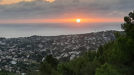
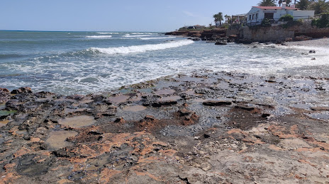
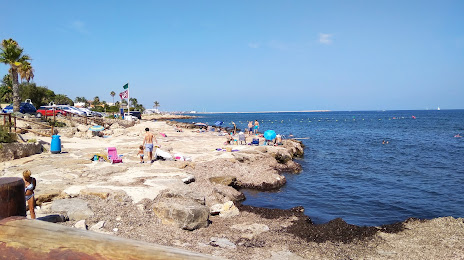
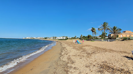
Dénia on the map, Spain
Where is located Dénia
Exact location — Dénia, Alicante, Valencian Community, Spain, marked on the map with a red marker.
Coordinates
Dénia, Spain coordinates in decimal format: latitude — 38.8387992, longitude — 0.1050557. When converted to degrees, minutes, seconds Dénia has the following coordinates: 38°50′19.68 north latitude and 0°6′18.2 east longitude.
Population
Dénia, Alicante, Valencian Community, Spain, according to our data the population is — 44,464 residents, which is about 0.1% of the total population of the country (Spain).
Comparison of the population on the graph:
Exact time
Time zone for this location Dénia — UTC +2 Europe/Madrid. Exact time — saturday, 5 may 2024 year, 09 h. 45 minutes.
Sunrise and sunset
Dénia, sunrise and sunset data for a date — saturday 4.05.2024.
| Sunrise | Sunset | Day (duration) |
|---|---|---|
| 07:00 -1 minute | 20:51 +1 minute | 13 h. 54 minutes. +2 minutes |
You can control the scale of the map using the auxiliary tools to find out exactly where it is located Dénia. When you change the scale of the map, the width of the ruler also changes (in kilometers and miles).
Nearby cities
The largest cities that are located nearby:
- Valencia — 81 km
- Murcia — 143 km
- Cartagena — 165 km
- Albacete — 170 km
- Palma — 231 km
- Tarragona — 269 km
- Lleida — 310 km
- Chlef
 (Algeria) — 315 km
 - Almería — 317 km
- Zaragoza — 321 km
- L'Hospitalet de Llobregat — 325 km
- Santa Coloma de Gramenet — 337 km
- Badalona — 339 km
- Terrassa — 340 km
- Sabadell — 342 km
- Alcala de Henares — 344 km
- Relizane (Algeria) — 346 km
- Algiers (Algeria) — 348 km
- Torrejón de Ardoz — 350 km
Distance to neighboring capitals:
- Andorra la Vella
 (Andorra) — 425 km
 - Lisbon
 (Portugal) — 801 km
 - Rabat
 (Morocco) — 825 km
 - Paris
 (France) — 1129 km
 - Paris (France) — 1129 km
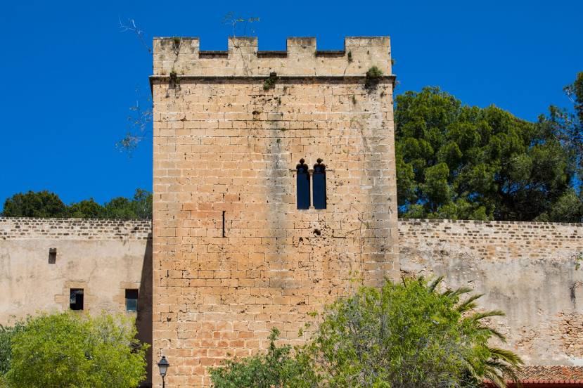
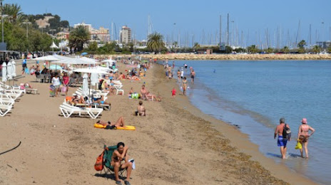
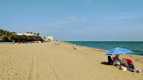
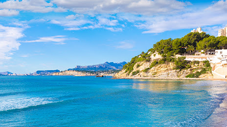
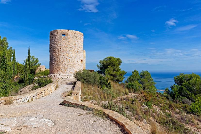
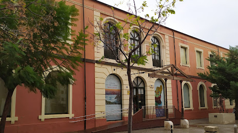
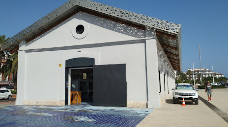
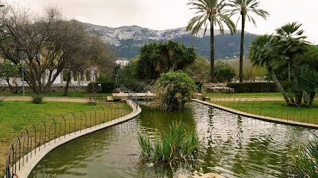
Attractions


Distance to the capital
Distance to the capital (Madrid) is about — 370 km.